
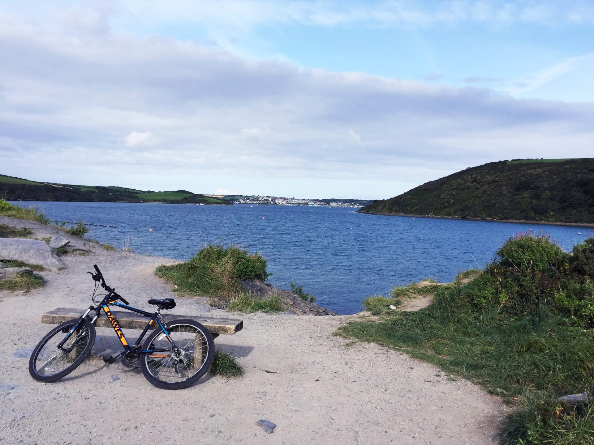
Top places to walk and cycle this Spring
Lots of us are exploring the great outdoors more with the arrival of warmer weather. Looking for inspiration about where to go? Many of the team at Dennis Maps are keen walkers and cyclists. Here they share their favourite places to walk and cycle across the UK and give some top tips, too.
Lewis, Print Supervisor

Favourite place to explore by bike:
I’ve cycled from Frome to Salisbury several times, following Route 24 on the National Cycle Network. I keep the River Wylye on my left-hand side for much of the journey, which helps me keep track of where I am. I enjoy this route as it takes in loads of small villages, such as Hanging Langford, which you’d rarely see in a car.
Top tip:
If you go all the way to Salisbury Cathedral, you'll be able to see one of the four surviving copies of the Magna Carta. It's a fact I like to bore everyone with!
Map:
Plan your route with Ordnance Survey (OS)
Christian, CTP Operator

Favourite place to explore on a walk:
My favourite route has to be the Brecon Beacons horseshoe ridge walk. I’ve completed it a few times with different people. Memorably, I walked the route on Remembrance Sunday with my father and we took a photo holding poppies at the summit. The picture even appeared in Trail magazine!
The route is around ten miles and takes in three summits – Corn Du, Pen y Fan and Cribyn. I recommend this walk to everyone as it’s fairly easy and accessible on National Trust paths.
Top tip:
Be weather aware and turn back if necessary.
Print On Demand Maps:
Explore the area with an OS map of the Brecon Beacons
Favourite place to explore by bike:
One of my favourite cycle routes is a Sustrans route of around 65 miles, that circumnavigates the Isle of Wight. I get the ferry across the Solent, so it feels like you’re cycling abroad. There are lovely sea views to enjoy and incredible beaches to stop at.
Top tip:
Go to the Ocean Deck in Sandown for great fish and chips.
Map:
Find out more with a print on demand OS map of the route
Naomi, Office Manager and PA to the MD

Favourite place to explore on a walk:
I holiday in Cornwall with my family and dogs at least once a year. One walk I make sure we complete is the route from Constantine Bay to Padstow, on the South West Coast Path. It covers various terrains and takes in lots of sights. We have our first pit stop near the Trevose Head Lighthouse (which you can see in the video below). Later, we walk the length of the beach at Harlyn Bay instead of following the cliff path. It’s a dog-friendly beach and a firm favourite with our two.
Top tip:
Stop at Stepper Point to visit the National Coastguard Institution. The coastguards are always happy to talk to you and share their fascinating stories.
Map:
Favourite place to explore by bike:
My favourite cycle is another Cornwall route. We often pick up The Camel Trail from Wadebridge and follow the traffic-free route all the way to Padstow. It follows an old railway line which once linked London and Cornwall. It’s a relatively flat path and is so scenic and peaceful. Plenty of benches line the route, allowing for a picnic or just enjoying the vista.
Top tip:
I recommended visiting the Atlantic Coast Express café on The Camel Trail, a former train carriage that’s been converted into an open-air café. They sell delicious cakes and drinks.
Map:
Grant, Digital Map Finishing Supervisor

Favourite place to explore by bike:
I’d have to choose a circular journey from Frome, starting at Critchill in the town, going over Truddox Hill (a big hill thrown in for good measure!), into Longleat and following the National Cycle Network’s Route 24 back to Frome. It’s mainly quiet lanes and passes through lovely English countryside.
Top tip:
There are two pubs I recommend stopping at – The George Inn in Longbridge Deverill and The Bath Arms in Horningsham. Both have good food and nice beer gardens. Nunney Castle is also en route and worth a visit.
Map:
Explore the area with an OS map
Dennis Maps is one of the leading map printers in the world, producing more than two million maps and charts every year. We offer comprehensive pre-press services, large format print solutions using both large format litho printing and large format digital print technologies, plus print on demand maps, specialised map folding and map finishing techniques.
Tell your story with a Custom Made map
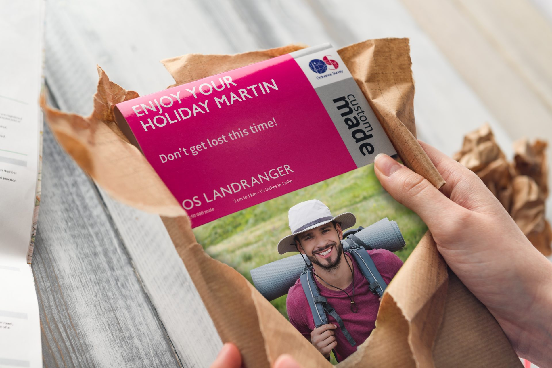
Did you know it’s possible to buy a map that tells your unique story? Ordnance Survey (OS) Custom Made maps can be completely personalised, making them the ideal gift for someone special or treat for yourself. “Custom Made maps are my favourite mapping product that we manufacture. They’re an excellent gift, as well as a fantastic practical aid to navigation,” says Roger Gilson, Operations Director at Dennis Maps.
Designed by you
When it comes to designing your map, the possibilities are endless! You can centre the map on any location that’s significant to you. It could be your home, the place where you got engaged or a favourite holiday spot. It could even be where you take your pet dog for their favourite walks.
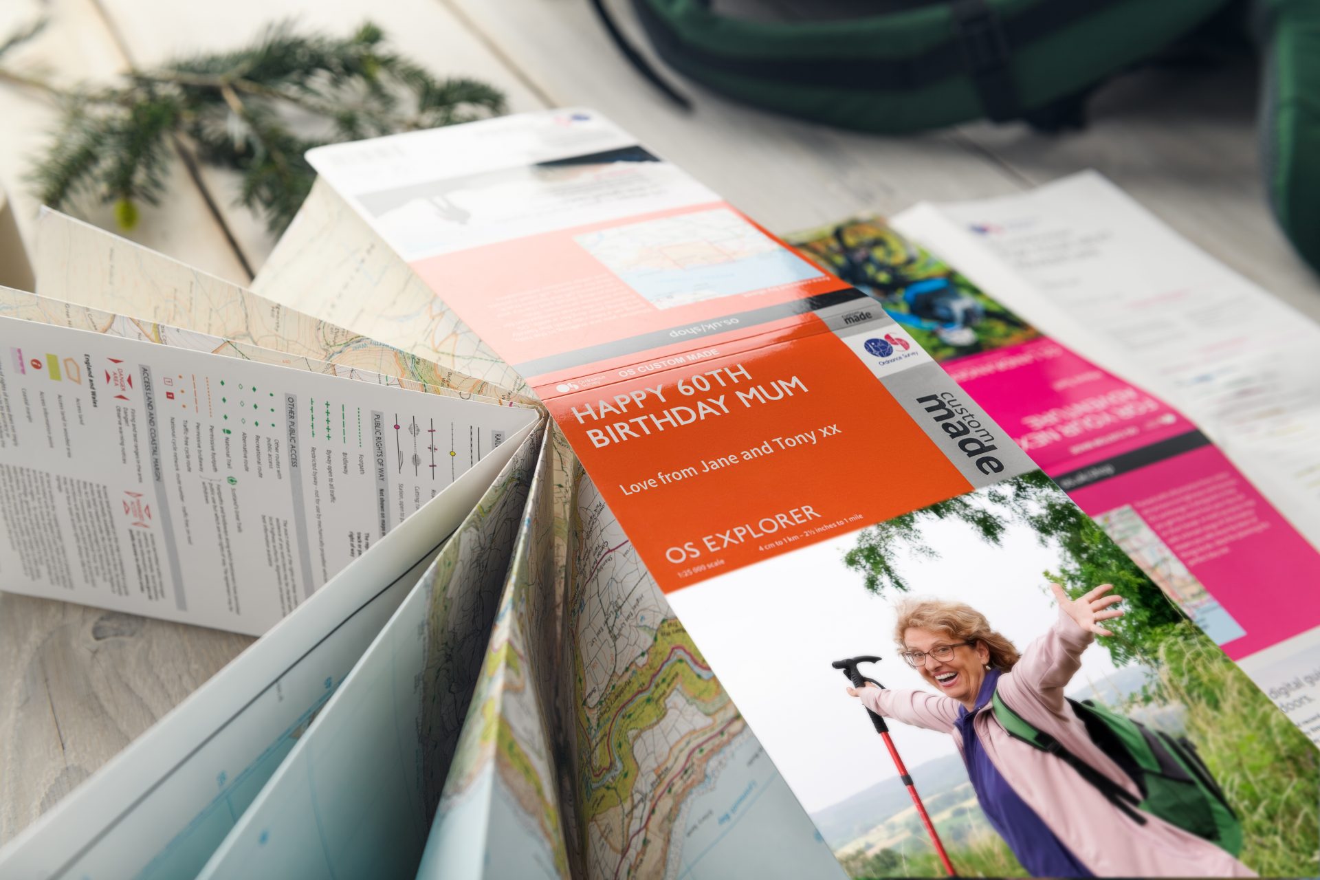
There are several display options to choose from, with maps available folded, flat, framed or on canvas, which can also be framed. Folded is perfect for when you’re out and about, flat is ideal for planning adventures from home and framed makes the perfect keepsake. Canvas is ideal for creating a stunning feature in your home or office. You can pick the text to include in the map legend on all these products, too. If you opt for the folded map you can even add a picture to the front cover, for that extra special touch.
Quality products
OS Custom Made maps offer exceptional quality at reasonable prices, with maps priced from £16.99 and with free delivery. All products are manufactured on Dennis Maps’ state-of-the-art printing equipment at our factory in Frome, so you can be confident they’ll last for years to come. Both folded and flat maps are printed on the same high-quality materials we use to create the standard OS map series. We use specialist framing techniques to hand assemble both framed and mounted products.
A swift delivery
Each map is made to your individual requirements, but delivery is still swift. We offer a courier service that delivers within 48 hours of maps being despatched, and a standard Royal Mail delivery that takes 2-5 working days. Our framed and canvas maps are handmade, so do take a little longer, but will still be with you within 10-12 working days.
How do I create my Custom Made map?
You can create your map on the OS website in a few easy steps.
1. Choose your location
Start by centring your map on your chosen location. It can be any spot in Great Britain and you can find your area by searching for a city, town, postcode or grid reference. To fine-tune your location, position the map to adjust the centre point and the area to be printed. Don’t forget to preview your map to make sure the location you want is covered and the map is centred where you want it to be.
2. Pick your map style
At this stage you can choose one of OS’s signature styles – Explorer or Landranger. The Landranger is perfect for outdoor activities, whilst the Explorer displays areas in precise detail.
3. Select a print option
Would you like your map folded, flat, framed or on canvas?
And now the fun part…
4. Choose your title
What title will your map have? You’ve got up to five lines to create the perfect title for your map for the map legend. The title will also appear on the cover of the folded version. It’s time to be creative.
5. Pick your photo
You’ll be able to upload a cover image of your own if you opt for a folded map. Alternatively, OS has a large image library you can choose from.
And that’s it. Creating your personalised map is a really simple process. So what are you waiting for? It’s time to tell your story with a Custom Made map!
Dennis Maps is one of the leading map printers in the world, producing more than two million maps and charts every year. We offer comprehensive pre-press services, large format print solutions using both large format litho printing and large format digital print technologies, plus specialised map folding and map finishing techniques.

Five awe-inspiring UK forests
This month marks the United Nations’ International Day of Forests, the perfect excuse to plan a forest adventure. It’s a given these ecosystems are good for the planet, but studies suggest they can enhance our wellbeing, too. Recent research from Japan found that short walks in these areas improved the moods of study participants compared to strolls in cities. So why not explore one of the UK’s wooded areas when lockdown rules allow? These five forests are sure to inspire you.
Craigvinean Forest, Perth and Kinross, Scotland

Craigvinean Forest is one of the oldest managed forests in Scotland and is within the wider Tay Forest Park. Originally planted with Alpine larch seeds, it’s said the 3rd Duke of Atholl, creator of Craigvinean, used a cannon so the seeds could reach inaccessible cliffs. Now that’s dedication! Today, Visit Scotland notes there are a variety of trees to admire, including larch, beech and Douglas firs. You can make the most of the woodland on the network of paths for walkers and cyclists running throughout the forest.
No visit would be complete without exploring The Hermitage, an enchanting spot made into a pleasure ground for the Dukes of Atholl. Head to Ossian’s Hall – an 18th century folly – to immerse yourself in the sights and sounds of the thundering Black Linn Falls below. Make sure you stop at Pine Cone Point, too. It’s a giant, wooden pine cone, where you can lie back on a bench and wonder at the canopy of trees around you. It’s easy to see why the series Outlander chose to film in this magical woodland.
Gwydir Forest Park, Conwy, Wales

Gwydir Forest Park is nestled in Snowdonia National Park, with stunning views of its famed mountains and serene lakes. You can explore Gwydir (or Gwydyr) on a walk, pony trek or bike ride. The forest is sure to impress cyclists who prefer their biking off road. It’s home to the Gwydir Mawr Trail, a red route of around 15 miles with big climbs, large descents and fabulous scenery on route. There’s also the Gwydir Bach mountain bike trail, dubbed a “shorter, bitesize option” by Natural Resources Wales.
There are many walks to pick from if you’d prefer to explore the forest on foot. The Coed Tan Dinas Trail begins in Betws y Coed, a pretty village that’s surrounded by forest. It’s an easy route of under a mile, featuring river views and a picnic spot. There are plenty of more challenging trails to explore, too. Whatever walk you choose, look out for old mines, shafts and waste heaps that give a tantalising glimpse into the area’s industrial past.
Kielder Water and Forest Park, Northumberland, England
Kielder is not only England’s largest working forest but also the site of northern Europe’s biggest man-made lake. There’s plenty to explore in the mammoth park’s 250 square miles, whatever your interest. The area is largely coniferous and you’ll be able to spot plenty of these festive trees on a visit. A Sitka spruce from the forest was chosen as the Houses of Parliament’s Christmas tree last year, so great is their renown. Keep an eye out for red squirrels, too. According to Visit Kielder, about half of England’s population have made it their home. The park is also known for its natural osprey colony and you can join an Osprey and Wildlife Cruise to try to see one of these rare birds.
If you’re visiting for a long-distance wander, try Lakeside Way, an accessible trail that follows the 27-mile shoreline of Kielder Water reservoir. Interested in art? Forestry England notes the park offers trails where you can spot its contemporary architectural and art pieces – with over 20 to be found. Whatever walk you choose, stay around after sundown for a spectacular celestial show. Kielder is in Northumberland International Dark Sky Park, an area famed for stargazing.
Explore the area with an Ordnance Survey map
Rothiemurchus Forest, Badenoch and Strathspey, Scotland

David Attenborough called Rothiemurchus Estate “one of the glories of wild Scotland” and we’re inclined to agree. The Highland forest is one of the few remnants of native Caledonian woodland, an important habitat that once covered much of the country. It’s also home to an abundance of rare wildlife. You might spot ospreys, red squirrels and capercaillie, the world’s largest grouse, on a visit to the forest.
Take a stroll through the woodland to admire its extraordinary trees and wildlife. There are plenty of paths to choose from, including the 3-mile Loch an Eilein Walk. It’s a gentle circular route around a loch, that features the ruins of an island castle. If you’re feeling active there are more energetic options on offer, too. The estate offers an impressive list of outdoor activities, including quad bike treks, rafting and archery. Which activity will you choose first?
Find out more about the area with maps of the Cairngorms National Park
The Heart of England Forest, Warwickshire and Worcestershire, England

Did you know there’s an important link between Dennis Maps and the Heart of England Forest? We’re co-owned by the Estate of Felix Dennis and we operate for the benefit of the Heart of England Forest registered charity. The forest was established by the entrepreneur publisher Felix Dennis, originally as a small area of woodland near his Warwickshire home in the late 90s. He had an ambitious plan, to revive and rebuild an expanse of native broadleaf woodland, for the public and wildlife to enjoy. His dream has certainly taken root. The forest is home to over 1.8 million trees, stretching from the Vale of Evesham to the Forest of Arden. And it’s still growing.
Why not try a woodland walk in the Heart of England Forest? The official website notes the Head Forester has mapped out trails through the forest, including the four-mile-long Founder’s Walk, shorter one-and-a-half-mile routes and an accessible trail, too. The Heart of England Forest also recommends the Morgrove Coppice – wild walk for those after a more demanding route. Whatever walk you’re looking for, it can be found in the forest.
Read next: Five incredible spots to stargaze
Dennis Maps is one of the leading map printers in the world, producing more than two million maps, wall maps and charts every year. We offer comprehensive pre-press services, large format print solutions using both large format litho printing and large format digital print technologies, plus specialised map folding and map finishing techniques.

Large format litho printing – when size matters
When size matters, think large format lithography (or litho) printing. Dennis Maps is a leading specialist in the field, with many years’ experience of creating high-quality prints. “We pride ourselves on our quality service and attention to detail. Whether it’s a small or large run, the same care is given to every job,” says Roger Gilson, the company’s Operations Director.
Print maps, posters, books and more
Dennis Maps is one of the world’s leading map printers and the trusted print partner of Ordnance Survey. We use large format litho printing to produce a range of large paper maps for a variety of clients. The bigger paper size allows an impressive amount of cartographic detail to be reproduced, in a way that a smaller sheet of paper or a screen of an electronic device couldn’t achieve. It’s not just for maps either – it’s an excellent choice for printing large format posters, books and catalogues, too. In short, this type of large format printing is the best technology to create large volume, high-quality prints, and to do so cost effectively

How it works
Lithography was invented in 1796 and originally involved the use of wax, oil or fat. Luckily, it’s progressed since then! Fast forward to the present day, and the printed image in offset lithography is created through a chemical balance of water and oil-based inks. Large format litho printing isn’t as widely used as other forms of litho printing, and therefore requires a specialised approach. It involves much vaster sheets of paper, a bigger plate setter, larger printing plates and a sizeable printing press. This really does make it stand out from the crowd.
Think big, think Dennis Maps
Dennis Maps can trace its heritage back to 1850, continuing a 171-year history of large format printing in the Somerset town of Frome. Today, our specialist machines allow for accurate colour reproduction of fine detail, no matter the job. Our KBA 162a large format press can print to a maximum sheet size of 1200 x 1620mm, in up to six colours. The printing press can run at high speeds, too – up to 10,000 sheets per hour in large format, perfect for printing in large volumes. We know the choice of paper is important as well and have a range of different materials to choose from, including waterproof and weather-resistant options. Dennis Maps can help you to arrive at a size and finish that’s the perfect solution for you.
Music to your ears
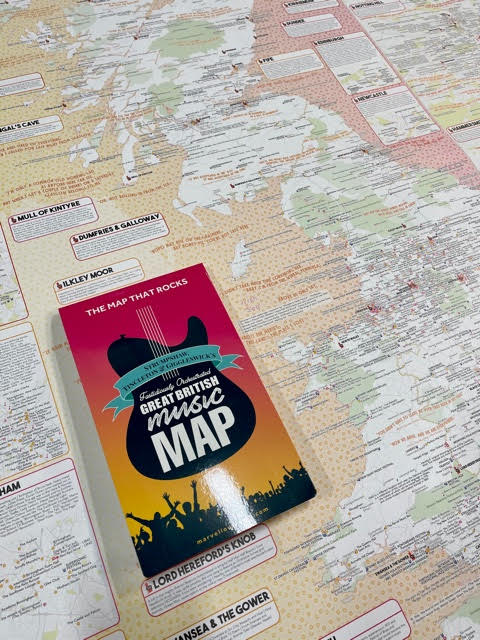
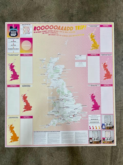
We were thrilled to use our large format litho printing service to create The Great British Music Map for our customer Marvellous Maps. It’s a celebration of Britain’s renowned music scene and is packed with musical references – think place names used in album titles, the location of a music video, or a place that inspired a song. It also features festivals, live music venues, and music trivia galore. You can even use it to plan a music-themed road trip – the reverse of the map includes a route around Britain’s top 50 music locations. The suggested playlist will provide the perfect soundtrack to your travels and have you humming the whole way along.

Celebrating London’s green spaces
We were excited to print the ground-breaking London National Park City map on our large format press, too. The massive map features 3,000 parks, woodlands, nature reserves, city farms, and all the open spaces that make up the capital, according to London National Park City. The map was distributed to members of the public for free – helping them make the most of the city’s green spaces.
Mapping Britain’s mountains
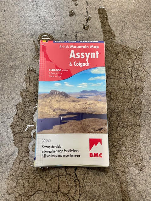
Dennis Maps also prints HARVEY Maps unique British Mountain Map series, a selection of walking, hiking and climbing maps that cover mountainous areas of the UK. The products have a 15m contour interval, unlike the usual 10m contour lines, making for a much clearer view. They also use layer colouring as well as contour lines to show relief, making it easier to differentiate between mountain tops and valleys. And best of all? We print them on waterproof Polyart, to withstand the changeable British weather! “…When the finished printed map returns from Dennis Maps, the feeling of satisfaction and pride in what we have achieved is always the same,” says Adam King, CEO of HARVEY Maps.
Get in touch with us for more information on our large format litho printing services.
Think big, print big, think Dennis Maps.
Dennis Maps is one of the leading map printers in the world, producing more than two million maps and charts every year. We offer comprehensive pre-press services, large format print solutions using both large format litho printing and large format digital print technologies, plus specialised map folding and map finishing techniques.

Unmissable walks in Wales
We may not be able to venture far from home right now, but we can still plan our next walk post-lockdown. It’s always good to have an adventure coming up, after all. Looking for ideas? Wales has it all, from rugged coastlines to majestic mountains and unique islands. Here are the best walks to try when we can next pull on our walking boots and explore the great outdoors.
Coastal walks
Did you know that Wales has a path covering its entire coastline? The Wales Coast Path is the world’s first continuous route along a country’s coast, an epic 870 miles. The beginning – or end – of the route in Chepstow is not to be missed. Visit Monmouthshire notes that it’s a 14 mile, largely level trail from the town to the village of Magor, taking in views of Chepstow Bridge, Caldicot Castle and the Severn Estuary as you go. Before you start, don’t forget to take a picture with the stones that mark the beginning/end of the Wales Coast Path – a must-do!
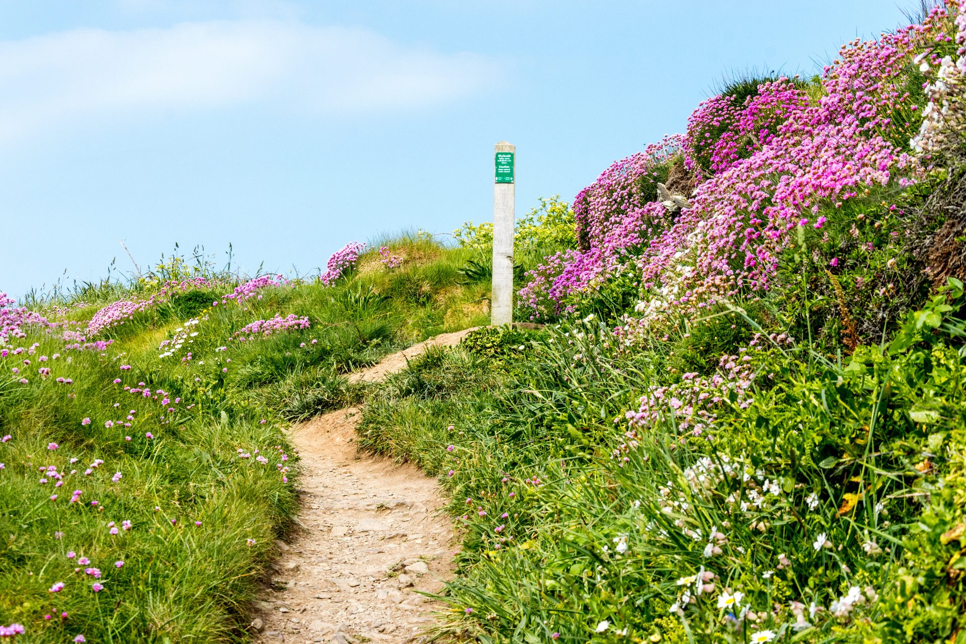
Further west, the Gower Peninsula – the UK’s first Area of Outstanding Natural Beauty – is packed with photo-worthy spots and spectacular walks. One option is the clifftop route from the pretty Port Eynon to the village of Rhossili. It’s around 7 miles and quite a challenging trail but worth the effort for the stunning scenery. You’ll pass Worm’s Head, a tidal island that marks the Gower’s most westerly point. At the end of the route, you’ll look out over the award-winning Rhossili Bay, a vast expanse of golden sand that’s been named one of the world’s best beaches. If you’re searching for a spot for lunch you could do worse than stop here. Rhossili Bay was once named Best Picnic Spot by The British Guild of Travel Writers.
Find out more with the Ordnance Survey map of Wye Valley and Forest of Dean (for Chepstow) and map of the Gower Peninsula
Mountain routes
There are plenty of mountains to choose from in Wales, but Snowdon rises above the rest as the go-to for seasoned walkers. At 1,085 metres tall, it’s Wales’ highest mountain, towering over Snowdonia National Park. There are six suggested routes up the Welsh giant, all of which are suitable for more experienced walkers. Visit Snowdonia notes that the 9-mile Llanberis Path is the longest but easiest of the routes. Whichever path you choose, on a clear day you’ll be rewarded with epic views from the summit. It’s a vista that’s topped the list of 20 best British views and it’s easy to see why.
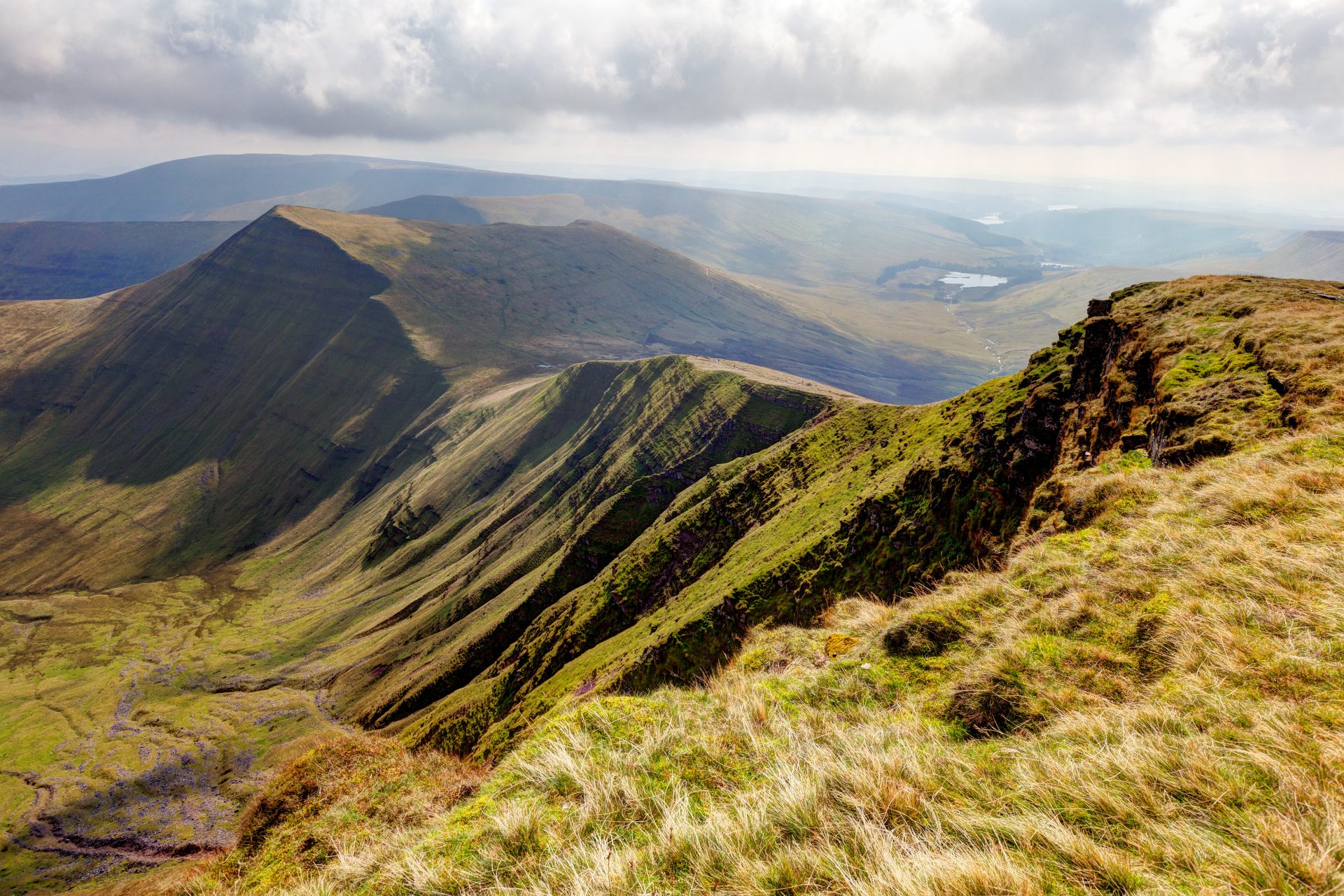
Cader Idris (or Cadair Idris), in the south of Snowdonia National Park, is as famed for its views as its myths and legends. To some, it’s the mythical ‘chair’ of the Welsh giant Idris, who created his mountainous seat in this breath-taking spot. When you reach the summit, 893 metres high, you’ll be rewarded with views across the national park and all the way to the coast. Visit Wales recommends walking one of three recognised routes to the top, all of which take around five to seven hours to complete.
If you’re a less experienced walker, why not try Pen y Fan? It’s the Brecon Beacons’ tallest peak at 886 metres, but some paths to the summit are suitable for more gentle hikes. One walk handily starts in the Pont ar Daf car park, taking you on a four-mile circular route. Looking for more of an adventure? The Welsh Three Peaks Challenge involves climbing Snowdon, Cader Idris and Pen y Fan, commonly in under 24 hours – an impressive achievement!
Folded Maps
Plan your walks with folded maps of Snowdon, Cadair Idris & Bala Lake and Pen y Fan
Island adventures
With so much to explore on the mainland, it’s easy to forget about all the wonderful islands Wales has to offer. The largest, Anglesey, is packed with walking routes. It’s home to the Isle of Anglesey Coastal Path, a 130-mile trail that’s within an Area of Outstanding Natural Beauty, a clue to the quality of the scenery. The route generally takes well over a week to complete but has been divided into 12 more manageable sections. If you do complete the whole route though, you can be rewarded with a certificate and a badge – a lovely reminder of your adventure.
If it’s wildlife you’re after, the Pembrokeshire islands won’t disappoint. Ramsey Island, a Royal Society for the Protection of Birds sanctuary, is easily accessible on a short boat ride from the mainland. It’s a birdwatchers’ paradise, with choughs, guillemots and Manx shearwaters just some of the creatures you can spot. Look down from the island’s cliff tops in late summer to autumn, and you might see some of the many grey seal pups being born on the island round this time. Ramsey’s main circular route is 3.5 miles long but there are shorter paths to choose from as well. Further south lie Pembrokeshire’s Skomer and Skokholm islands, both of which are renowned havens for wildlife, too. Both are famed for their populations of puffins and Manx shearwaters, making walks on the islands something quite spectacular.
Explore more with Ordnance Survey maps of Anglesey, North Pembrokeshire (for Ramsey Island) and South Pembrokeshire (for Skomer and Skokholm)
City strolls
Wales is rightly known for its stunning rural walks but there are pleasant strolls to be had in its cities as well. Cardiff’s Roath Park and Bute Park come highly recommended for short, accessible walks in the capital. Want to venture further? The Cardiff Bay Trail is a circular route of around 6 miles and offers plenty of attractions to spot en route. Look out for the Norwegian Church, Senedd Cymru (Welsh Parliament) and Wales Millennium Centre. Enjoy views of Cardiff Bay and the Severn Estuary as you cross the Cardiff Bay Barrage, and don’t forget to watch the boats bobbing on the water at Penarth Marina.
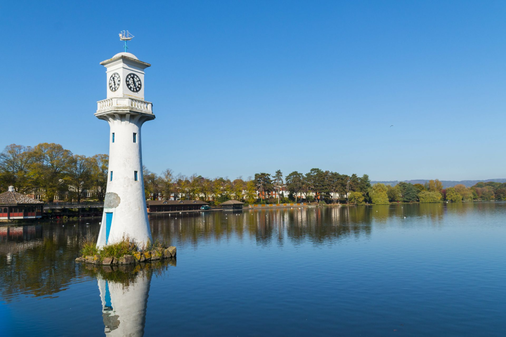
Heading north west, Wales’ second largest city, Swansea, is also worth exploring on foot. The walk from Swansea Bay along the Promenade to Mumbles Pier is a pretty one, passing Clyne Gardens and Singleton Park – perfect for picnic stops in the summer. It’s around three miles long, making it ideal for a short stroll. If you prefer your cities compact, then give St David’s a go. Located in Pembrokeshire, it’s the UK’s smallest city, but what it lacks in size it makes up for in stunning scenery. It’s a gentle, downhill walk from the visitor centre through the quaint high street, to St David’s Cathedral in the valley below. The Cathedral sits next to the remains of the Bishop’s Palace, which is also worth exploring. When you’ve finished looking round there are plenty of pubs and cafes nearby for a well-deserved rest.
Discover more with maps of Cardiff, Swansea and St David’s
Wherever you walk on your adventure, make sure you do it safely. Adventure Smart is a great resource for outdoor safety tips in Wales and Visit Wales has some important advice for visitors to Wales’ national parks, too.
Dennis Maps is one of the leading map printers in the world, producing more than two million maps and charts every year. We offer comprehensive pre-press services, large format print solutions using both large format litho printing and large format digital print technologies, plus folded maps, specialised map folding and map finishing techniques.

Top five unusual UK place names
The UK has its fair share of weird and wonderful place names.
Here’s our pick of the quirkiest ones across three of its nations – England, Scotland and Wales. Why not explore places local to you for your daily exercise or venture further afield post-lockdown with a custom made map?
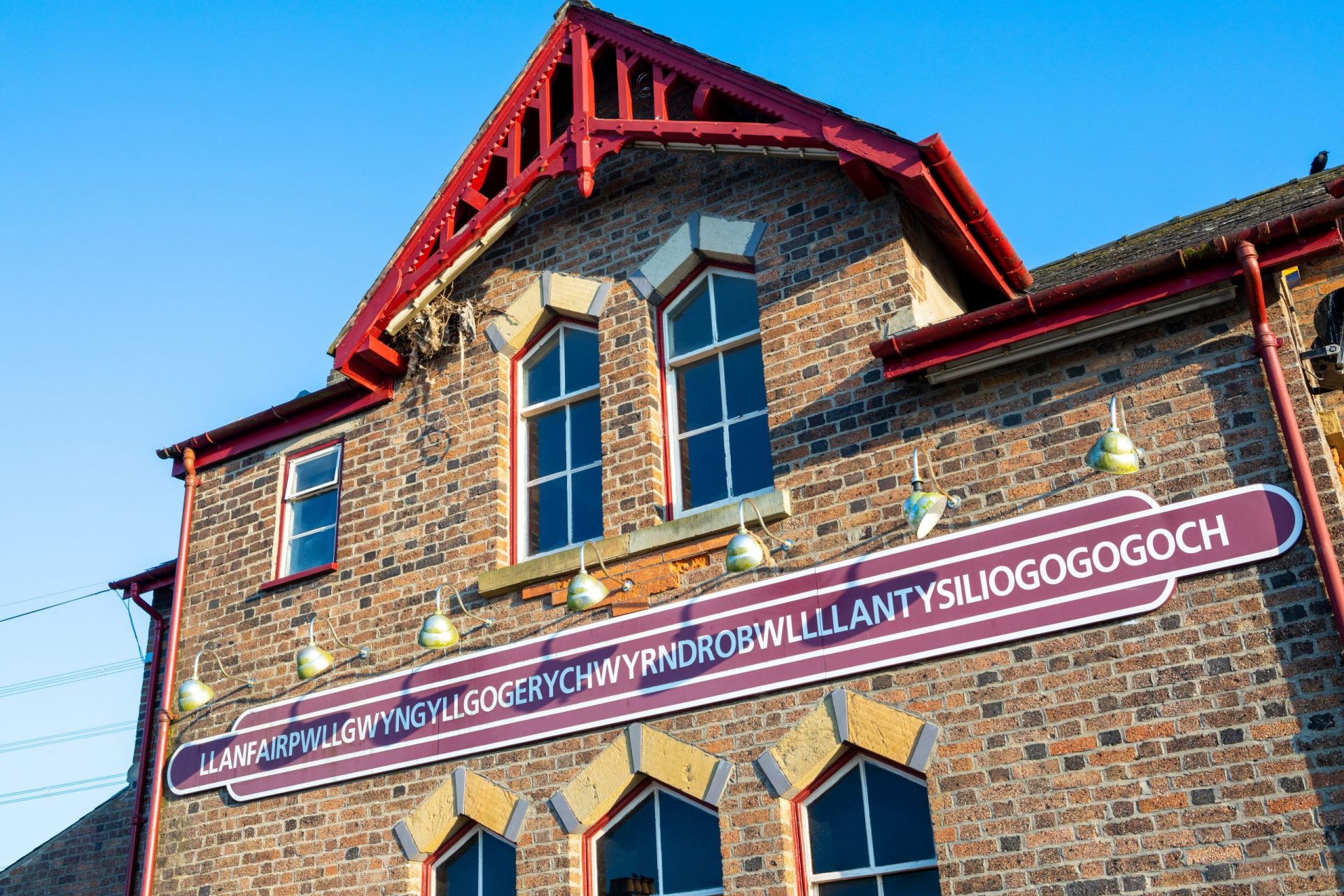
Llanfairpwllgwyngyllgogerychwyrndrobwllllantysiliogogogoch
Luckily, the name of this Anglesey village can be shortened to Llanfair PG if you want less of a tongue twister. Its full title makes it the UK’s longest place name and the world’s second, with a whopping 58 characters. It translates to the just-as-catchy ‘St Mary's Church in the Hollow of the White Hazel near a Rapid Whirlpool and the Church of St Tysilio of the Red Cave’.
Locals changed the name from a shorter version to its current length in the 19th century to attract tourists and it seems to have worked. No visit is complete without taking a picture of the railway station sign – which has the village’s full name on proud display. Not sure how to pronounce Llanfairpwllgwyngyllgogerychwyrndrobwllllantysiliogogogoch? Hear weatherman Liam Dutton say it (without pausing for breath!).
Explore Llanfair PG with one of Ordnance Survey’s maps of Anglesey

Dull
The village of Dull is officially linked with Boring in Oregon, USA and Bland in New South Wales, Australia. The three make up the League of Extraordinary Communities, an alliance formed to draw tourists to the areas. The ‘Trinity of Tedium’ celebrates its union with an annual party, which we’re sure is anything but dull.
The name of the Scottish village likely comes from the Pictish for ‘field’. It may be small – with one row of houses and a church – but its location in the Highlands makes for some stunning scenery and walks.
The OS Explorer map of Perth and Kinross is available from Ordnance Survey
Westward Ho!
Westward Ho! is the only place in the UK to feature an exclamation mark in its name – a fun fact for future pub quizzes. Its other claim to fame is that it’s named after a book, Charles Kingsley’s novel of the same title. Based in nearby Bideford, the book became a bestseller when published in 1855.
Local entrepreneurs capitalised on its success to grow tourism in the area. They built a hotel and other holiday accommodation, which they named after the book, and the growing resort also became known as Westward Ho!. If you visit the area today, you’ll find lots on offer, including a Blue Flag beach, surf schools, and England’s oldest golf course.
Find out more about the area in an Ordnance Survey map
Puddletown
The delightfully-named Puddletown is a pretty village in Dorset, formerly not-so-delightfully-named Piddletown. According to the BBC, ‘piddle’ means ‘fen’ or ‘marsh’ in Old English. The village’s location on the River Piddle may also be the origin of its name. Puddletown is another place in our list that has a literary link. Thomas Hardy grew up nearby and featured this area of Dorset in many of his works.
Visitors can see Hardy’s Cottage – the birthplace of the author – nearby, go for a wander in Puddletown Forest or explore Athelhampton House and Gardens, a 15th century manor with ornate grounds.
Discover the area in a customised Ordnance Survey map
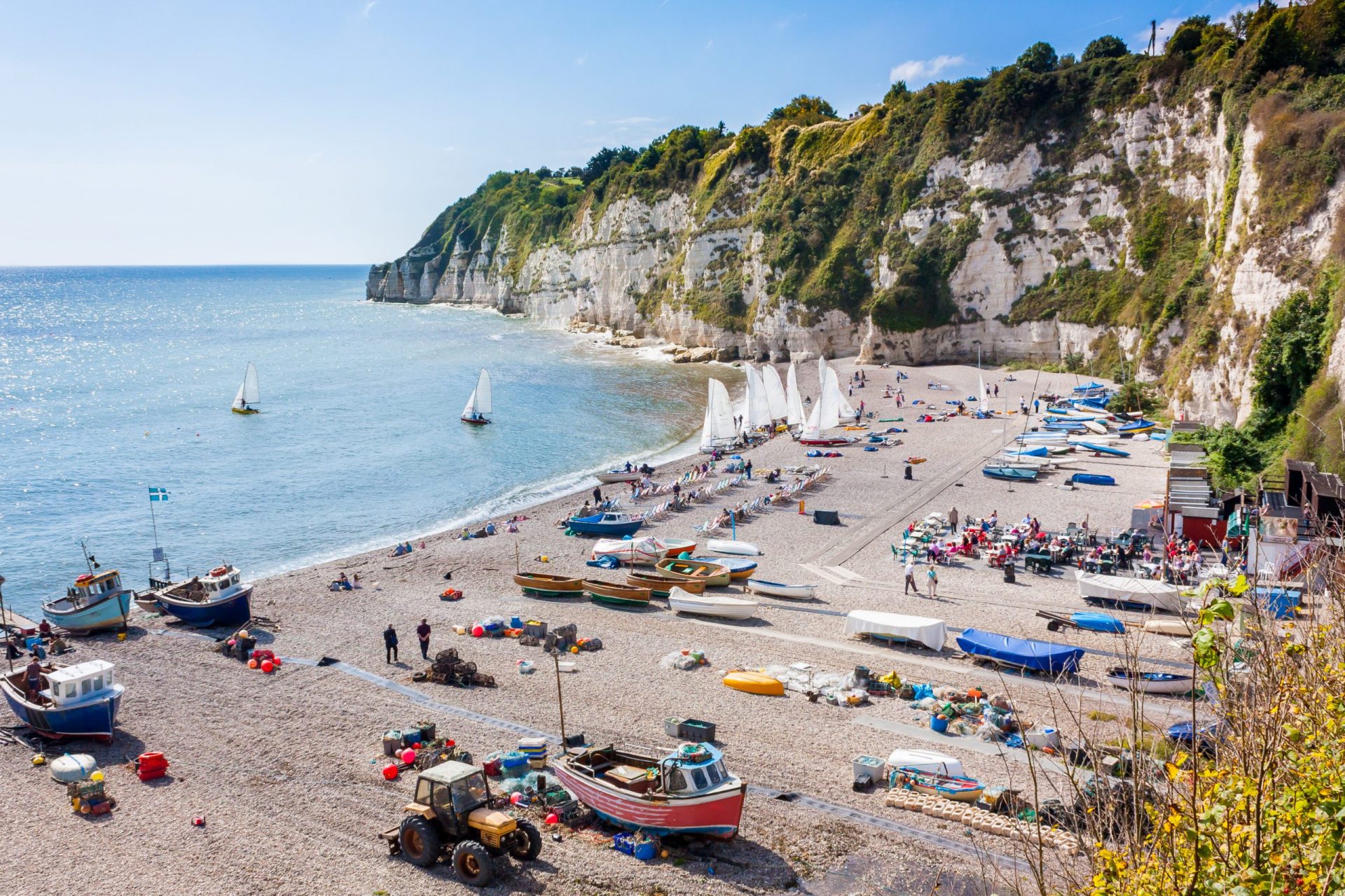
Beer
The seaside village of Beer is the perfect spot to enjoy a cold, takeaway beverage. It’s located along the Jurassic Coast, a UNESCO World Heritage Site, and boasts a shingle beach, superb walks on the South West Coast Path, and a quaint fishing harbour.
Beer is a longstanding settlement – with a reference in the Domesday Book. Sadly, its moniker doesn’t refer to the drink but may come from ‘bearu’, an Old English word for ‘grove’, in reference to the forest around the original settlement.
Customised Maps
See more of the area in one of Ordnance Survey’s maps