
Ordnance Survey Explorer and Landranger Maps – a history
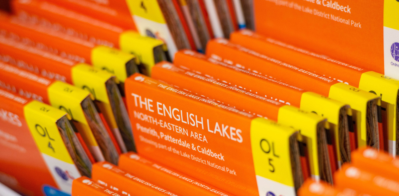
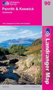
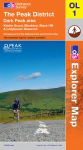
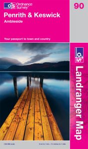
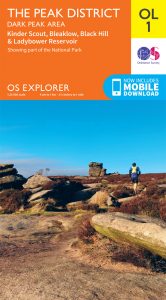
You’ll probably recognise the iconic orange Ordnance Survey (OS) Explorer and pink OS Landranger maps. They’ve been loved by outdoor enthusiasts for decades, but how much do you know about their history? We explore the surprising evolution of OS’s most famous products.
How it all began
OS was formed in 1791 and published its first map in 1801. The agency went on to map the entire British Isles by the late 1880s – quite an achievement! The beginning of the OS Landranger map dates to that first product, a map of Kent at one-inch scale. OS’s original purpose was to produce a map that would assist the military to protect Britain. Kent was the area most at risk of French invasion, as England’s most south-easterly county, so was mapped first. The map was designed to help soldiers, showing the county’s communication routes and elaborate hill shading to highlight the landscape. In fact, OS had a military focus for some time. It supported the armed forces with maps during both world wars – printing an incredible 342,000,000 maps for World War Two alone.
After mapping the British Isles, OS printed several series of maps in various styles and formats. It was after World War One that it began producing experimental maps with the same scale as OS Explorer maps, 1:25 000 (with 1 mile equivalent to 2.5 inches on the map). They were created to help students with geography. OS hoped that if they proved popular more maps could be produced, intended to capture a growing interest in the great outdoors. At the dawn of World War Two, OS began releasing its New Popular Sixth Series. Each sheet covered 40 x 45km and included the National Grid. In the 1960s, the government introduced metrification and OS maps evolved again, by printing the 1:50 000 scale map for the first time. The First Series of these maps were printed in two blocks, in 1974 and then 1976.
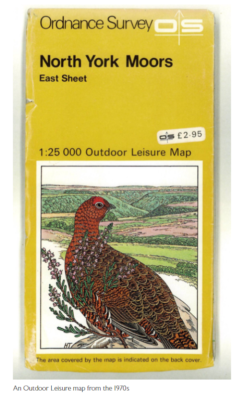
As the 1970s began, outdoor pursuits were becoming more popular. It was the perfect moment for OS to promote its 1:25 000 scale mapping. The national mapping agency printed its first Outdoor Leisure map, OL1, in 1972. It covered an area of the Peak District, the Dark Peak. Other OL maps soon followed, mapping Areas of Outstanding Natural Beauty and national parks. OS, spurred on by the popularity of these maps, developed the Pathfinders series.
Notably, Pathfinder maps of England and Wales featured all public rights of way. Walkers could now plan routes safe in the knowledge they wouldn’t be entering land without permission.
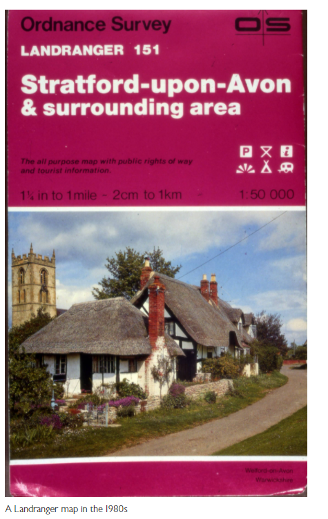
The Second Series of OS’s 1:50 000 maps appeared in the 1980s. OS had added some useful additions to the new series – tourist information and metric contours, being just two of them. Later, grid numbers were added to the body of the map, as well as tree symbols. And the most important change of all – the name ‘Landranger’ was added to the maps for the first time.
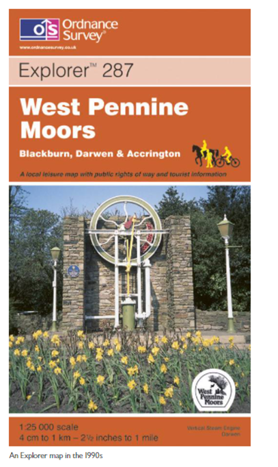
By the 1990s, Pathfinder maps were still popular. OS was working to make them more user-friendly though, with Explorer maps first printed in 1994. They covered areas of the Chilterns, Northumberland and the Mendips. They were an improvement on Pathfinder maps, plotting three times the area of the older series. They had more of a focus on leisure and tourism information too, with national park boundaries, youth hostels, picnic sites and more depicted on the maps. Now map readers could even plan where to visit the nearest public loo! OS converted all its Outdoor Leisure Maps and Pathfinder maps into the Explorer series by 2003.
The next decade brought an exciting opportunity for the public to get involved with OS map design. In 2015, the agency worked with The One Show to organise a competition to design new map symbols. Six winning symbols – for an art gallery, electric car charging point, skate park, toilet, solar farm and kite surfing – were chosen from over 7,000 entries. The symbols can now be seen on OS maps.
Explorer and Landranger maps today
Today the Explorer series is the OS Consumer business’ bestselling physical product range and Landranger maps have also seen a resurgence in popularity. OS Product Manager, Paul McGonigal thinks they’ve been particularly important since the start of the pandemic, enabling people to get to know their local area better. Both maps plot the whole of Britain, so wherever you are they’ve got you covered. There are 607 paper maps across the Explorer and Landranger series, 403 of which are Explorer and 204 of which are Landranger maps.
They’re all available in the ‘Active’ format – a weatherproof version of the map that’s produced at Dennis Maps, along with the classic paper versions. Handily, they all come with a digital download for the corresponding area too. Outdoor enthusiasts have another digital option as well, with the award-winning OS Maps app. Users have access to all Explorer and Landranger mapping, aerial photography, augmented reality and much more!
Mapping the future
So, what’s next for OS Landranger and Explorer maps? “We have a clear responsibility to protect these valuable assets and improve them wherever possible,” says Paul. OS is committed to continually reviewing the materials and processes it uses for its maps, ensuring they keep pace with changing user requirements and new technology around sustainability. Different substrates and sizes could also be possible in the future. We’re sure that whatever comes next will just be as exciting as the history of these iconic products.
This blog post is based on the following articles by Ordnance Survey: A history of paper maps, The beginning of our paper maps, Top 10 mapping moments in OS history, New OS map symbols make it into print and One Show map symbol competition winners.
All images courtesy of Ordnance Survey.
Dennis Maps is one of the leading map printers in the world, producing more than two million maps and charts every year. We offer comprehensive pre-press services, large format print solutions using both large format litho printing and large format digital print technologies, plus specialised map folding and map finishing techniques.
How to have a mindful walk
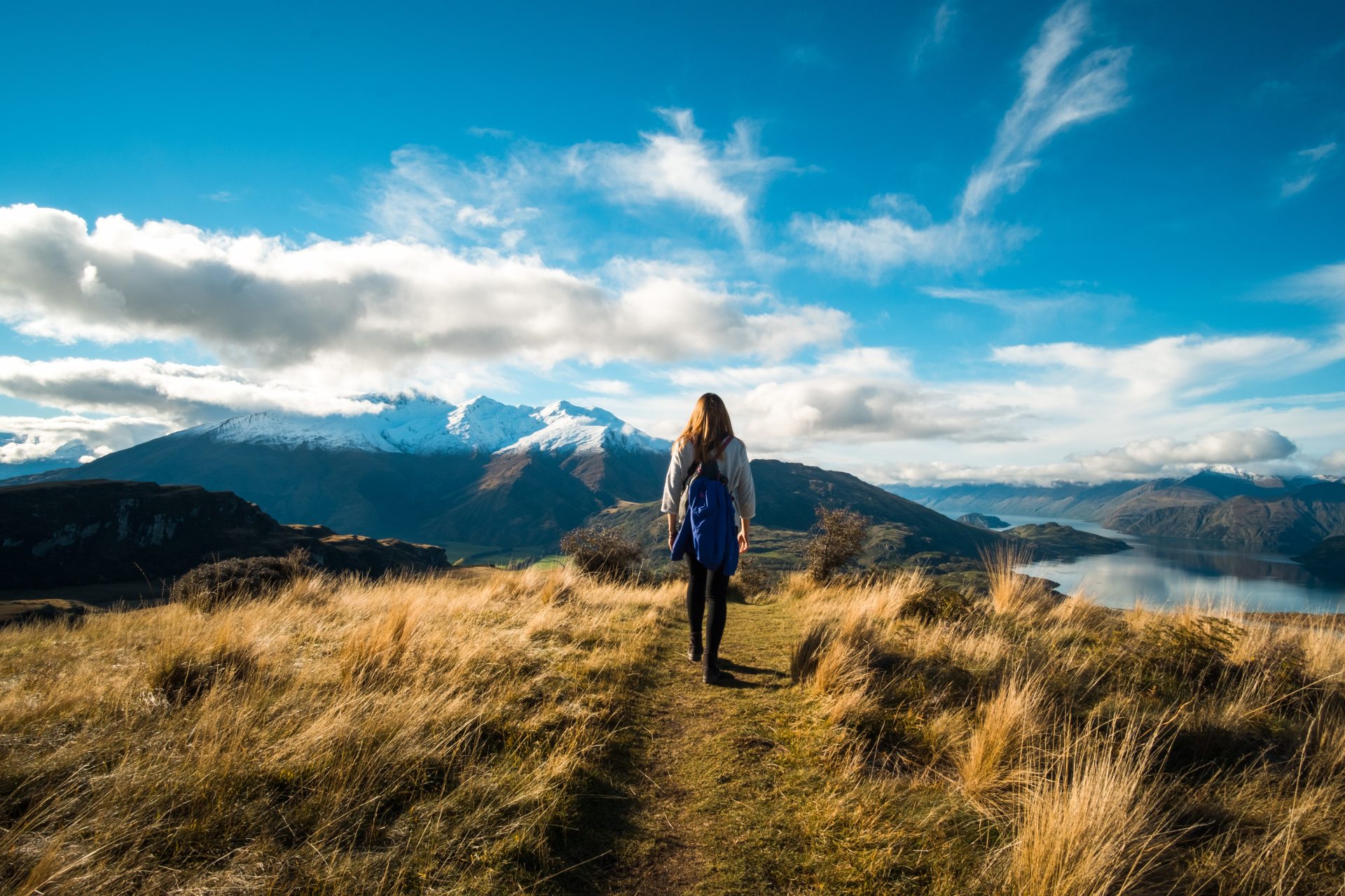
“A mindful walk is about being in the present moment and noticing the small things right in front of us,” says psychologist Dr Jess Walker. “It can give us that moment of calm”. So why not make your next walk a mindful one? Here, Dr Walker shares her tips for making the most of a mindful stroll.
Start small
There’s no right or wrong way to have a mindful walk. Just give it a go! You might want to start with a short stroll. While walking, take the time to really notice your surroundings, to ground you in place and time. It’s really beneficial to have that break for our minds, even if it’s only for five minutes. Don’t worry if your mind goes off to other things either, just bring it back to the present moment.
Find a green space
You can have a mindful walk anywhere, but many people respond well to more natural environments. If you’re in a busy urban environment, your brain needs to process a lot more and will find it harder to be still. You don’t have to go far, it can even be your back garden, a balcony or a local park, but ideally you want to choose somewhere with natural elements. You might want to find somewhere familiar to begin with too. You may also want to pick somewhere that’s important to you. For example, I like being by the water, whether it be a river or the sea, as it holds happy memories and feels very tranquil.

Take a deep breath
Sit somewhere quiet before your walk and practise deep breathing, to feel calm and soothed. There are lots of breathing methods you can try, but the main thing is to breathe deeply and slowly. Your heart rate goes up when you breathe in and down when you breathe out, so remember to elongate your out breath. Try to breathe deeply from your belly, something we often neglect to do. You can check you’re doing this by placing one hand on your chest, the other on your belly and noticing which moves more. Ideally you want the hand on your chest to stay relatively still and the one on your belly to move outwards on the in breath and inwards on the out breath. Continue deep breathing during your walk.
One step at a time
Notice the speed you’re walking at. Walk slowly and connect to what’s happening around you. Focus on putting one foot in front of the other mindfully, which can feel quite peaceful. If you do think about other things, that’s ok, just bring yourself back to the moment. If you like, you could try a walking meditation. Slowly place one foot on the ground, from heel to toe, repeating the steps in your head. For example, “left foot up, left heel down, left toes down”. Do the same with your other foot, heel to toe, then repeat for alternating feet. Repeat the steps to yourself keeps your mind occupied.
Explore your senses
Take a moment to stop and explore your senses. What can you see? Notice how things around you are moving. You might want to really focus on detail and follow an insect on its journey or explore the minute patterns on a leaf. Think about what you can hear around you too. Can you hear the wind in the trees or birds singing? Notice the different sounds. Then move on to touch. Stop occasionally to touch things and keep you connected. You could take your shoes off to feel really grounded. Notice what it feels like when you’re standing, how your feet feel on the bare ground or in your shoes.
Think about what you can taste too. Does the air around you have a particular flavour? Have a think about what you can smell. It’s a sense we often forget about. Can you smell fresh grass? Does the wind have a certain smell? I’d recommend a mindful walk whatever the weather. A rainy or windy day can be as beautiful and interesting as a sunny day. Notice how the weather feels.

Remember the moment
Taking a photo can create a helpful memory of your walk if it’s a place you felt connected to. It can be a mental picture or a literal one. You can think about what your senses experienced there when you’re back at home. When we remember somewhere that’s soothing to us, we can feel like we did in that moment. Recalling this special place in your mind, using all your senses, is a useful grounding technique to ease any stress too.
Most off all, have fun on your walk! The wonderful thing about a mindful walk is that it’s free and can be done anywhere. So why not give it a go?
Dr Jess Walker
Dr Jess Walker is a counselling psychologist with over 15 years’ experience in the field. She runs a talking therapy practice in Bristol and online using a blend of approaches, including mindfulness, compassion focused therapy, relational therapy and EMDR.
Dennis Maps is one of the leading map printers in the world, producing more than two million maps and charts every year. We offer comprehensive pre-press services, large format print solutions using both large format litho printing and large format digital print technologies, plus specialised map folding and map finishing techniques.
A day in the life of Roger Gilson, Operations Director at Dennis Maps
Roger Gilson joined the map making business when he left school in 1993 and has worked at Dennis Maps since it was founded, currently in the role of Operations Director. After 29 years in the business, there’s not much he doesn’t know about maps!
7am
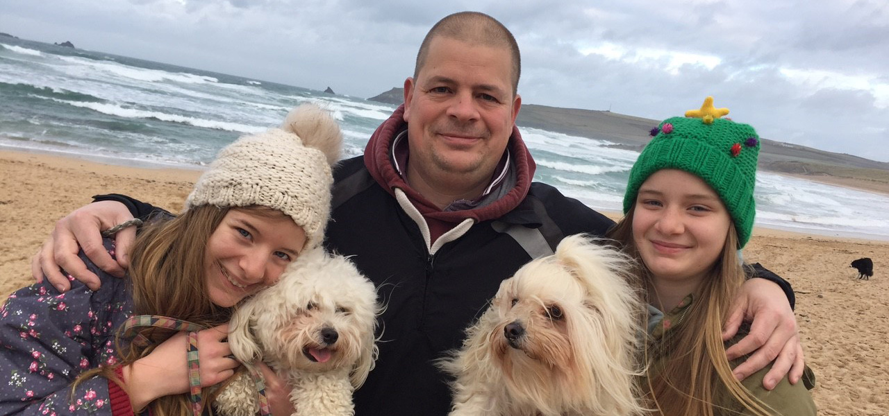
I wake up at 7am most mornings and have overnight oats with berries and yogurt for breakfast. Every morning, come rain or shine, I walk our family dogs Pippa and Squirrel. It’s nice to get out in the fresh air before heading into work.
8.45am
I leave home for the drive to the factory. I travel to work with my wife, Naomi, who is Office Manager at Dennis Maps.
9am
As soon as I arrive, I head to the factory floor to say hi to everyone and check everything is running smoothly. My role involves working at my desk but also being on the factory floor a lot, so I know what everyone is doing. There are 16 people in the factory today, so I go round to see them all. Today we’re working on encapsulated maps for Ordnance Survey and paper maps for Lily Publications. Yesterday, I prepared a production list for this morning, giving everyone an allocated job and machine to work on. Preparing a daily production list is a key part of my role.
9.45am
I spend about an hour answering emails. I’ll check them throughout the day as well.
10.45am
I answer some queries from colleagues.
11.15am
An engineer and an electrician arrive at the factory to carry out our annual printing press maintenance, a two-day job. I greet them and make sure they’re happy with what they’re doing.
12.15pm
I raid the biscuit tin for lunch. I have a sweet tooth! Today I go for chocolate digestives and hobnobs.
12.30pm
I check my to-do list and then do a stock check, making sure we have everything we need for different print jobs.
1.15pm
I speak to a customer to clarify how they would like their maps folding. You can fold a map many ways, so I make sure we’re folding it correctly. Then I let the staff working on the job know.
2pm
Most people in the factory work from 6am-2pm. As they start to leave for the day, I begin thinking about what needs working on tomorrow. I make a start on the next day’s production plans.
3pm
I look at customer quotes my colleague Mark has produced. I always check quotes and give them final sign off.
4.30pm
It’s time to test the fire alarms. I test them every week at different points in the building.
5.30pm
Before the end of the day, I issue all the production plans to the relevant work areas ready for the morning. I also check all the systems are running in the Custom Made area.
6pm
I finish work after last the factory shift ends. I’m the last one to leave so I check everything is locked up before I go.
6.05pm
I drive home. It’s just me as my wife walked home a bit earlier.
6.20pm
Arrive home. It’s a quick turnaround when I get home as tonight is rugby training for my daughter’s team. My youngest daughter plays under-18 rugby and I coach her team. I’m also a Fixtures Secretary at my local rugby club and a Referee. Training for my daughter’s team is held every Tuesday evening and we play fixtures on a Sunday too.
6.30pm
We leave the house to collect some of my daughter’s friends and take everyone to training.
6.50pm
We get to the rugby pitch in Bath. It’s the last session of the season so it’s pretty light-hearted and fun.
8pm
Rugby finishes and I drop everyone off at their houses.
9pm
We have a late dinner – pasta bake that my eldest daughter has made. I keep some leftovers to take to work for lunch tomorrow. I feed Pippa and Squirrel as well.
10pm
We watch some TV, usually a crime drama or a food programme.
11pm
Bedtime!