
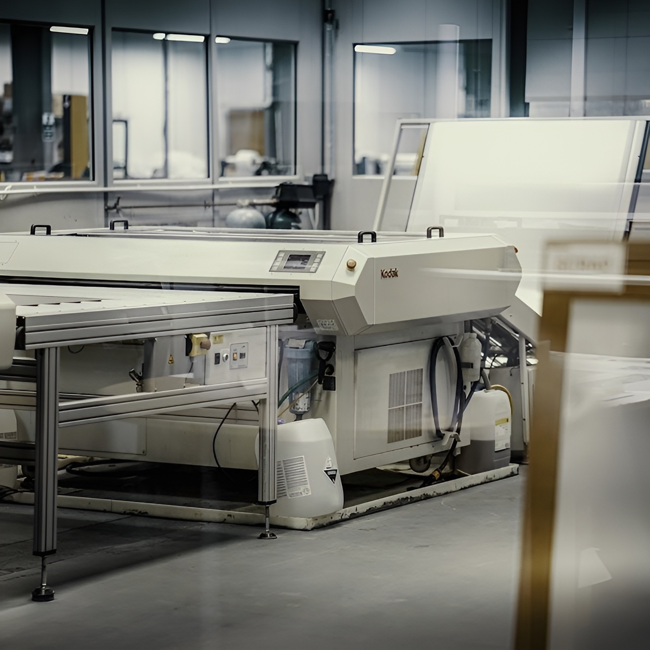
Pre press: The beginning of your print journey
At Dennis Maps, your print journey begins the moment your artwork arrives with us. The first stage of the journey starts in our pre press department, where the magic happens! This is where your ideas begin their transition from digital files to a printed product you’ll be proud of.
What’s a pre press department?
Our pre press department handles an important stage of the print process but you may not have heard of it. Pre press is an industry term for all the activities that happen after we receive your order and digital print file, but prior to printing.
An expert approach
We’re proud to have pre press operators with years of experience in the field. They have the knowledge and technical expertise to produce your prints to an exceptional standard. They’re all colour experts and often make subtle changes to clients’ print files, to enhance their appearance once printed. Their expert knowledge of the printing process also means they know which file formats and resolutions are required, and how they impact on each print project.
Top-of-the-range technology
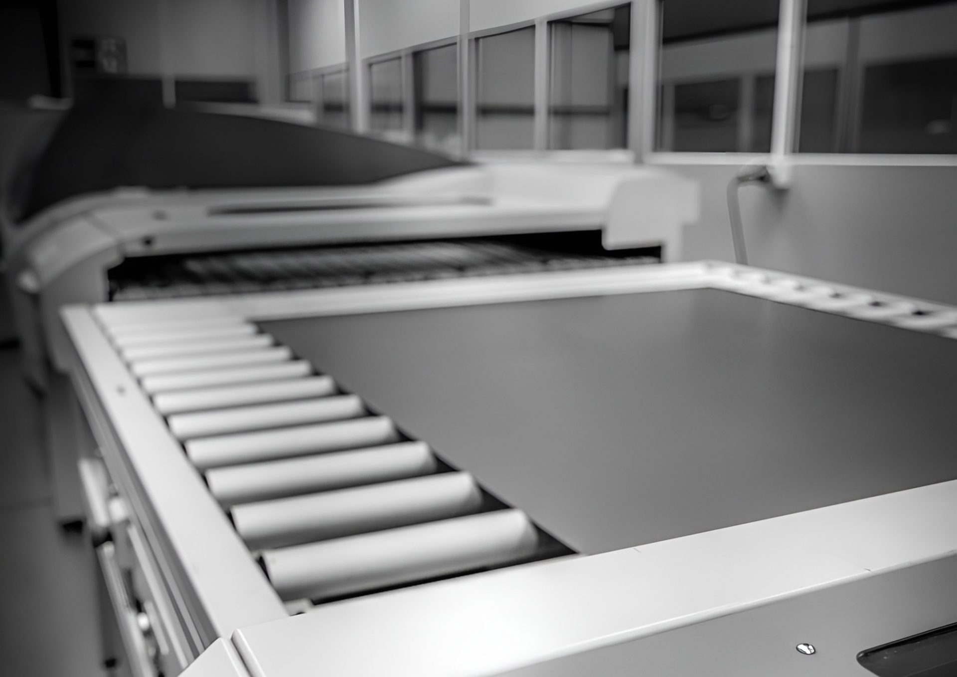
Our Frome factory is equipped with top-of-the range technology, to carry out pre press activities to the highest standard. We have the latest hardware and applications to process every job, no matter how complex. Our Prinergy Worksflow software is one of the most powerful pre press tools available and an incredible automation solution. We also have a fully integrated Kodak Prinergy Version 8.3 Connect Pre Press Workflow system, which colour profiles all work, to the requirements of ISO 12467/2. With this technology to hand, you can rest assured that you vision will be carried out perfectly.
The Pre Press process
Stage one: Pre-flighting
The first stage of the pre press process is pre flighting, which happens once a client has sent us their print file. At the pre flight stage we’ll flag any issues with file set-ups that could prevent files from being ready to print. We’ll carefully check the file to ensure it contains all elements needed to create a successful print run. For example, our in-house experts make sure all the fonts are included, that images have the correct resolution and format, all layout elements – crop marks, bleeds and margins – are set up correctly, and PMS/CYMK colours are set up as they should be. On some occasions, we’ll convert a digital file to a more suitable format, most commonly Adobe PDF (Portable Document Format).
It’s worth noting that pre flighting isn’t designed to spot any spelling or grammar mistakes. We kindly request that you carry out editing and proof reading prior to this stage.
Stage two: Creating a proof
Next, we move on to stage two – creating a proof. The proof stage is an important one, that helps avoid any errors and makes sure that we’re in agreement with you about the end result of a print run. A proof offers a close representation of how your product will look when it’s printed. We usually create proofs as PDFs, so they can be emailed to you for approval, speeding up the printing process.
Stage three: Printing plates (for large format litho presses)
Once you’ve approved your proof, it’s ready to be created on a printing press. If it’s a large format litho print, we’ll create printing plates for the process. They’re custom made for each job and transfer inked images onto sheet of paper. After our digital or litho printers are set up, it’s time to start printing!
Here to help
We’re always here to answer any questions you may have about our Pre Press services, or any other print-related queries. Have a look at our FAQs page, fill in an enquiry form or give us a call. We’re happy to help!
Dennis Maps is one of the leading map printers in the world, producing more than two million maps and charts every year. We offer comprehensive pre-press services, large format print solutions using both large format litho printing and large format digital print technologies, plus specialised map folding and map finishing techniques.
Top ten books about outdoor adventure
If you’re looking for adventure, books can transport you somewhere exciting and encourage you to plan your own thrilling outdoor activities too. Here are our top ten tales about outdoor escapades.
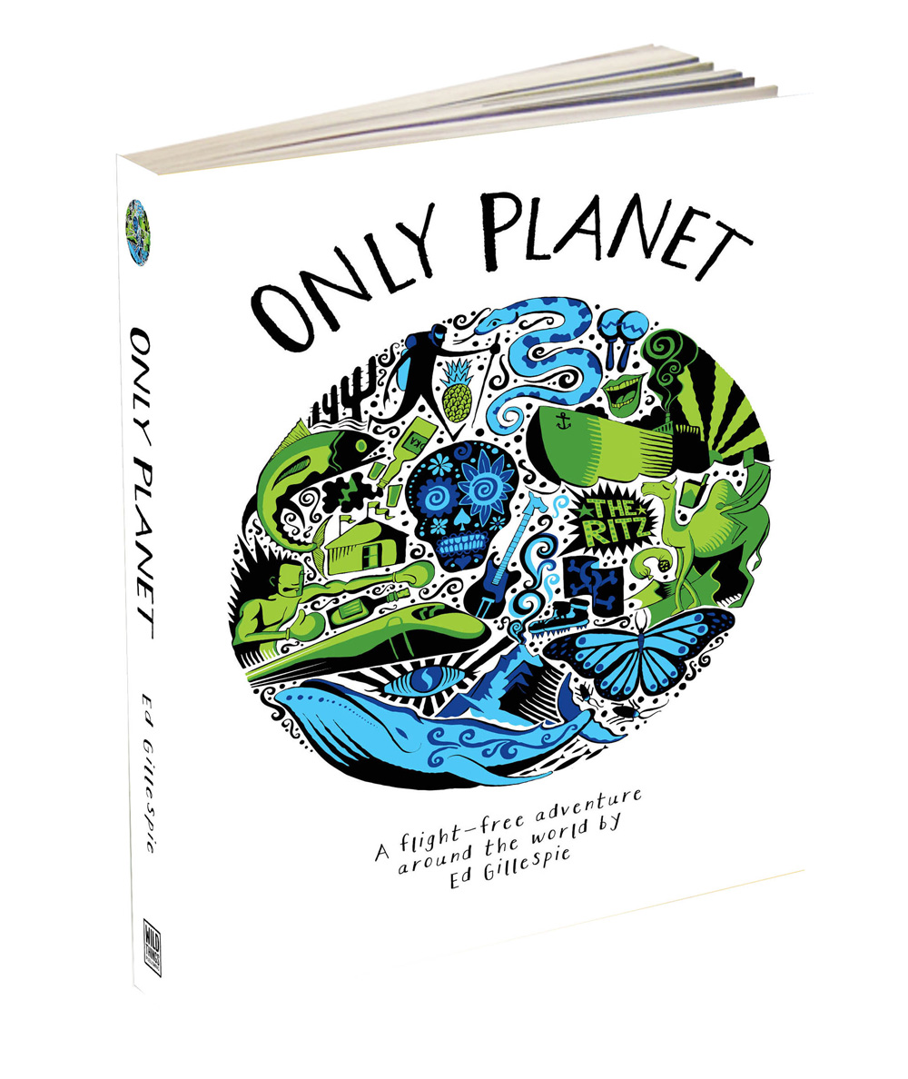 Only Planet: A Flight-Free Adventure Around the World, Ed Gillespie
In this inspirational tale the author takes on the epic adventure of circumnavigating the world using any mode of transport except planes. Join him for his travels on hovercrafts, cargo ships and camels, as he shows that the journey is half the fun. On the way you’ll encounter peckish pythons, jungle volcanoes and shamanic lakes. It’s a tale about taking it slow and rediscovering hope for our world.
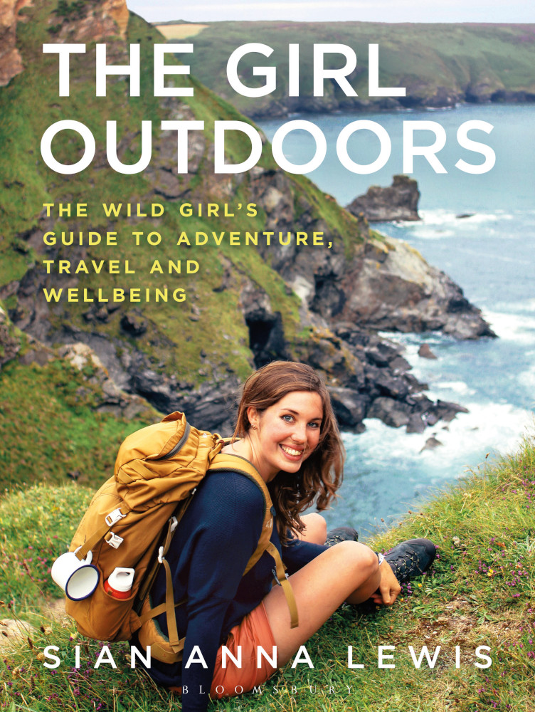 The Girl Outdoors: The Wild Girl’s Guide to Adventure, Travel and Wellbeing, Sian Lewis
This is basically an adventurous best friend in book form. It guides readers through the wider, wilder world with inspiring and practical advice and ideas, whether you’re creating cordial from foraged berries or embarking on an expedition. Sian – the author of the popular The Girl Outdoors Blog – has produced an essential guide to being active outdoors, both close to home and further afield. There are chapters on everything ranging from cycle touring to campfire recipes and working abroad. Pick it up and you’ll never feel FOMA (Fear Of Missing Adventures) again.
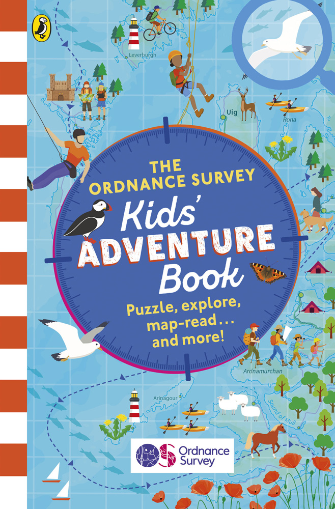 The Ordnance Survey Kids’ Adventure Book
This is the perfect present for little adventurers! Ordnance Survey experts have created a book that teaches children essential skills for an adventure, from what to do in an emergency to reading a map. It includes plenty of handy tips and good-to-know facts too. Famed puzzle master Dr Gareth Moore has a section of map challenges to test readers’ observation and map-reading skills as well.
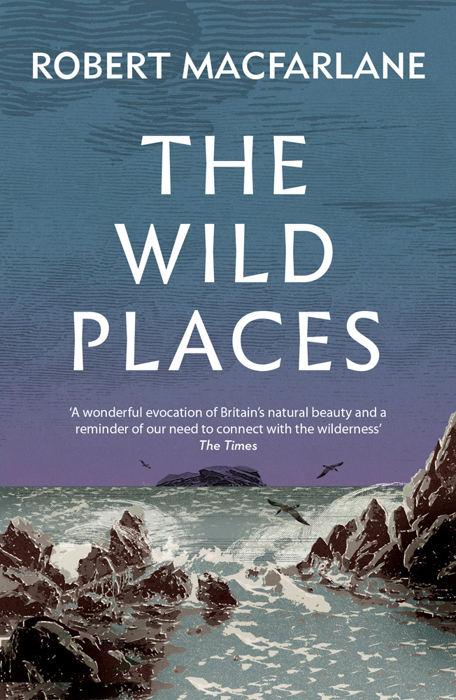 The Wild Places, Robert Macfarlane
Do any really wild places remain in Britain and Ireland? Or have humans farmed, tarmacked and built a world away from the wilderness? In this inspiring read Robert Macfarlane goes in search of remaining wilderness, taking the reader along for the journey. It’s a book that’s been highly praised by both readers and professional reviewers. “The natural world swells with meaning through Macfarlane’s devoted observations,” Holly Morris wrote for The New York Times.
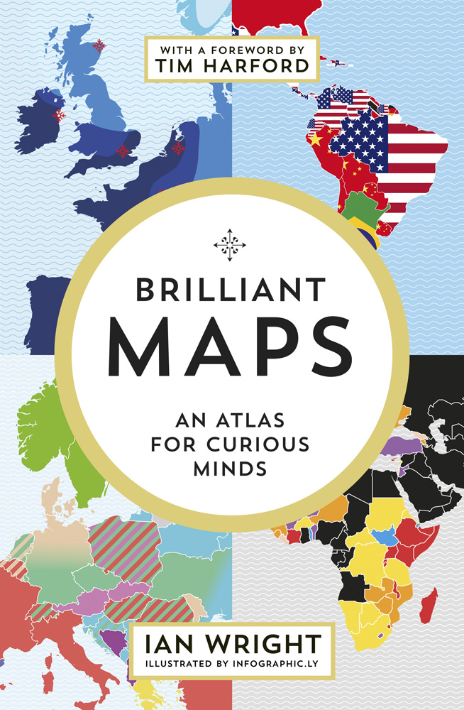 Brilliant Maps: An Atlas For Curious Minds, Ian Wright
Do you know where you can spot lions in the wild? How about the countries that have larger economies than the state of California? Brilliant Maps has the answers! Designed to be both thought provoking and fun, it’s an atlas of history, politics, culture and more. One Amazon reviewer said: “This is a pick up, put down, pick up again book. Visually interesting and bursting with things you didn’t even realise you didn’t know!”
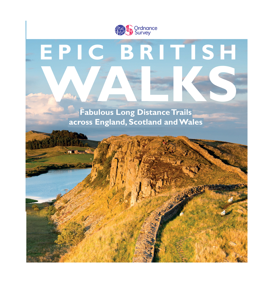 Ordnance Survey Epic British Walks
Ordnance Survey Epic British Walks is packed with 38 incredible long distance trails. Each of the diverse pathways are graded by difficulty, ranging from routes for beginner hikers to paths for seasoned multi-day ramblers. The book covers 5,000 miles of routes through Areas of Outstanding National Beauty, National Parks, UNESCO World Heritage Sites, National Scenic Areas and Heritage Coastline throughout Britain. Pick up a copy to plan your epic walking adventure.
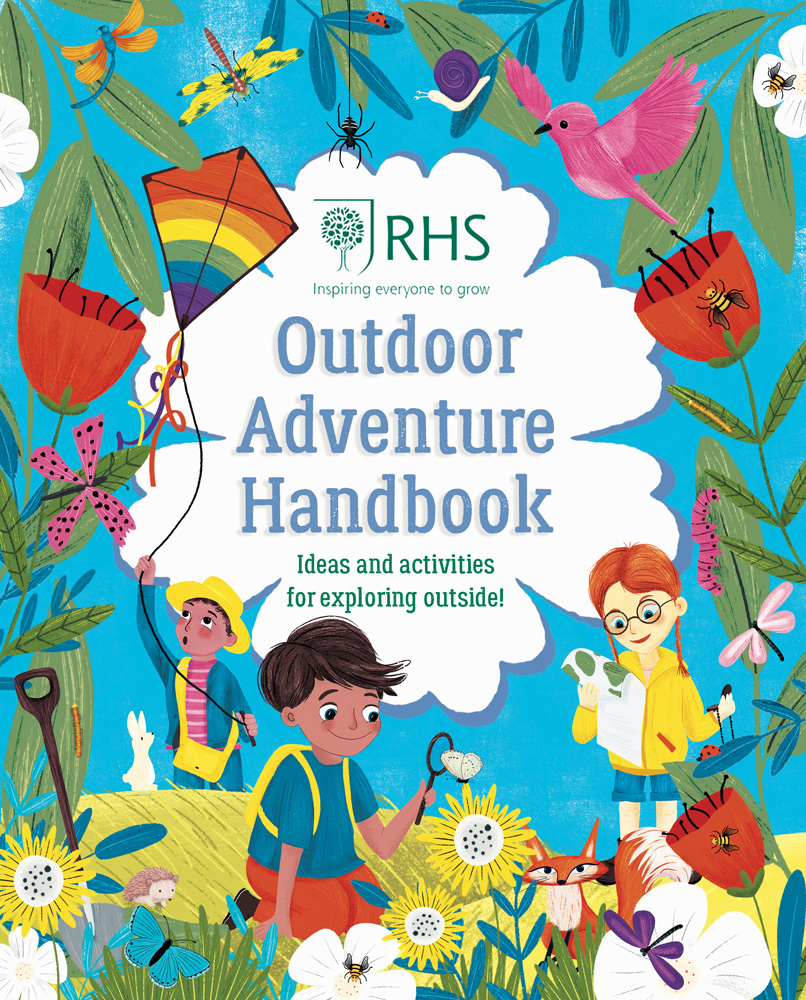 RHS Outdoor Adventure Handbook, Emily Hibbs
This is another great choice for mini adventurers. It’s a book bursting with ideas and activities to help little ones explore the great outdoors, whatever the weather. The Handbook is full of beautiful illustrations, facts about nature and fun activities, like growing a herb garden, building a tepee and making a wilderness compass. It’s sure to keep kids entertained for hours and to give them a greater appreciation for the natural world.
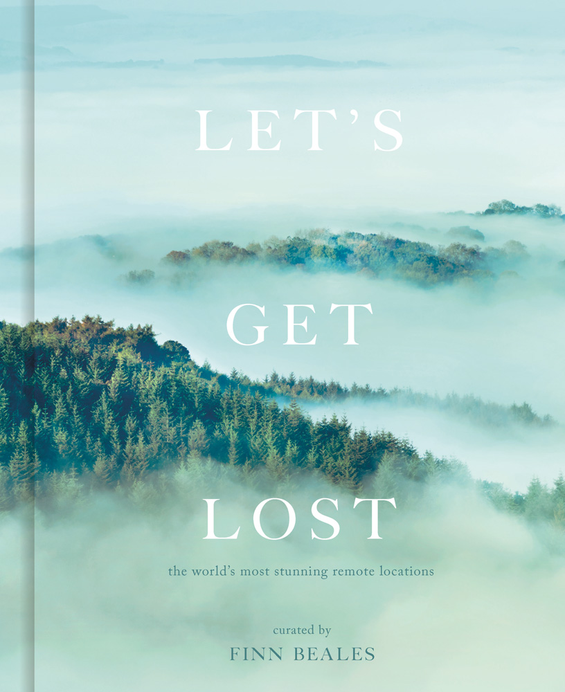 Let’s Get Lost: the world’s most stunning remote locations, Finn Beales
This entry is a little bit different: it’s an epic collection of landscape photography from spectacular and remote locations around the world. Award-winning photographer Finn Beales has curated a collection of incredible shots that will inspire you to explore the world. Amazing images dare the adventurous to stray from the beaten track in search of nature’s wonders. Look out for rugged mountains, off-grid coastal views and majestic forests. Each photographer shares the story behind every little-known location, from a journey through the wild heart of Namibia to an airborne search for a lost Bulgarian monument. It’s sure to stir your sense of adventure.
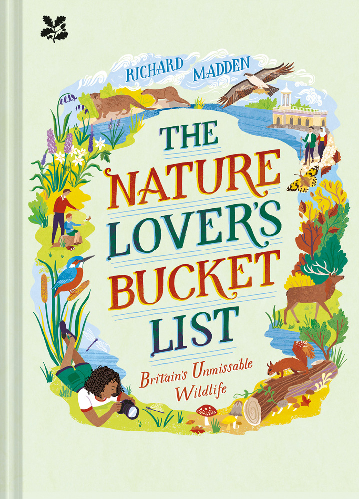 The Nature Lover’s Bucket List: Britain’s Unmissable Wildlife, Richard Madden
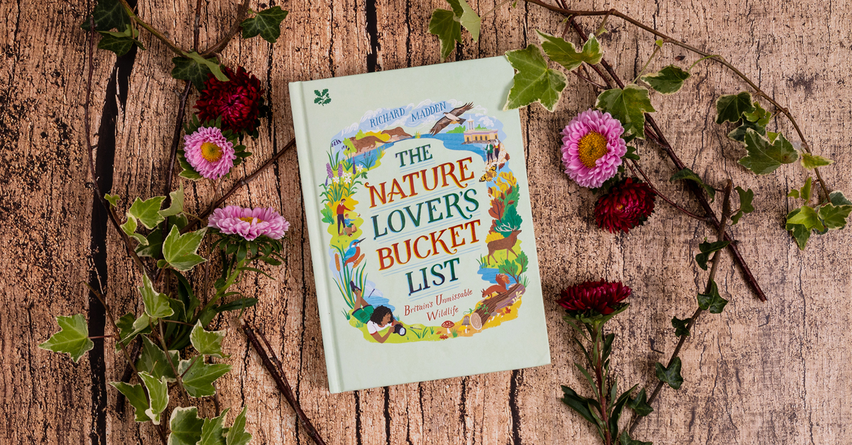
The Nature Lover’s Bucket List features an amazing 60 wildlife wonders that you’ll find in Britain – and where to see them. It explores everything from Shetland’s otters to Somerset’s starling murmurations. Looking for nature closer to home? The book delves into wonders you can find on your doorstep, like pretty charms of goldfinches and hearing the beauty of the dawn chorus.
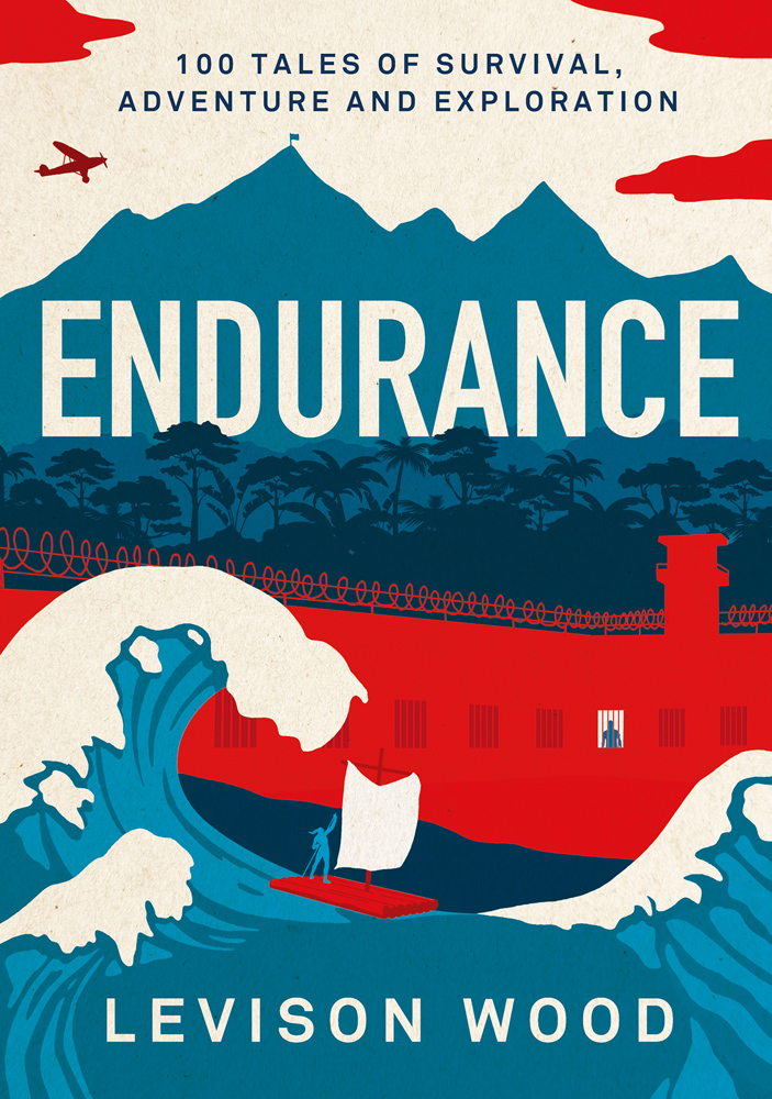 Endurance: 100 Tales of Survival, Adventure and Exploration, Levison Wood
Within the pages of this book and you’ll discover 100 astonishing tales of human adventure, survival and exploration, handpicked by author and explorer Levison Wood. The anthology contains accounts of human endurance from various periods of history. Readers will encounter a range of characters, from heroic Antarctic explorers to record-breaking athletes. In the varied collection, you’ll find classic accounts, as well as fresh and neglected voices. It contains both adventure fiction and you-couldn’t-make-it-up true tales that all have one thing in common: they celebrate the strength of the human spirit.
Dennis Maps is one of the leading map printers in the world, producing more than two million maps and charts every year. We offer comprehensive pre-press services, large format print solutions using both large format litho printing and large format digital print technologies, plus specialised map folding and map finishing techniques.
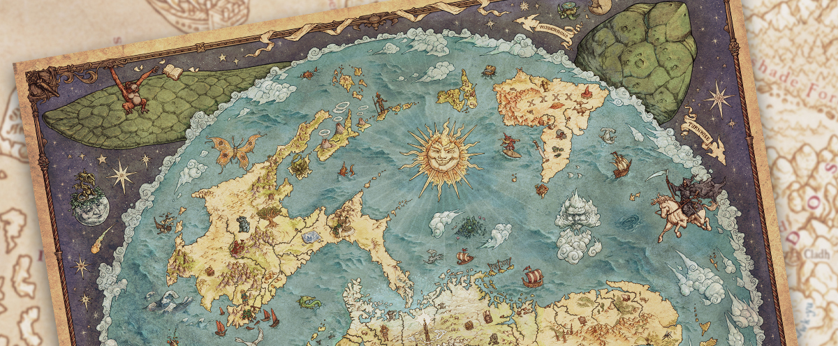
A magical map of Discworld
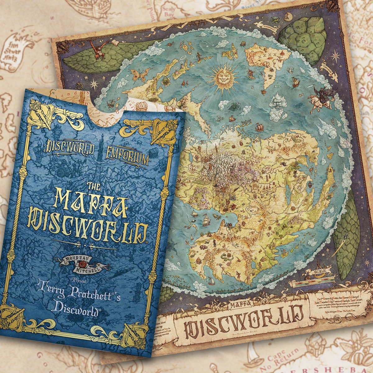
Dragons, witches and wizards – the latest map off our presses is something quite unique! The Mappa Discworld is an impressive metre-high map that captures all the colourful characters and creations from Terry Pratchett’s Discworld. The much-loved series of 41 books has been turned into a richly illustrated depiction of Discworld, that’s already a fan favourite. We find out more from Discworld Emporium’s Ian Mitchell, the map’s creator.
Can you tell us more about Discworld Emporium?
Discworld Emporium is a producer and purveyor of all kinds of wares from the world of Terry Pratchett. Our founding members, Bernard and Isobel Pearson, created the first ever Discworld merchandise. They opened the shop in 2000 along with Terry. My partner and I became co-owners in 2007. Discworld Emporium became a place Terry could meet his fans and chat with them, which was good fun!
 Discworld Emporium has devised many incredible ideas for Discworld wares. How did the idea for The Mappa Discworld come about?
We were trying to find a way for readers to explore Discworld differently, and that’s something you can do evocatively with a map. We wanted to do something really ambitious, a map that wasn’t just geography, but looked at the history, myths, legends, commodities and people of Discworld. Mappae mundi were famous medieval maps, many of which expressed so much on one map. We thought it’d be fun to do something similar for Discworld.
How was Terry Pratchett’s estate involved in the creation of the map?
Everything we do is always checked over by the estate. We work very closely with them, and we’re licensed by Dunmanifestin, the company Terry set up with his daughter and assistant. Dunmanifestin was really supportive of the project.
Is this the first time Discworld has been mapped?
The first Discworld book was written in 1983 and Terry famously wrote in the front, “There are no maps. You can’t map a sense of humor.” In 1993, his friend Stephen Briggs proved him wrong! He approached him with a street map of the major city of Discworld – Ankh-Morpork – that he’d created. They worked on the map together and it went down well. More maps followed. What marks The Mappa Discworld out is that all the Discworld stories are included. This was the first time we knew that Terry’s work had been completed.
 What makes The Mappa Discworld so special?
It’s a pictorial map, that not only serves as a map, but carries the history and stories of Discworld. When fans look at the map, they can visit all the places they picture when they read the books. I would say it offers readers of Terry’s work a chance to explore Discworld in minute detail, in a way that feels sympathetic to his writing. We wanted it to be a document you could pour over for hours and spot new details. A tiny shipwreck in the Bay of Mante comes from a small mention in the book of Mort. In a fleeting passage it mentions a shipwreck in the bay, a throwaway line. There are some references on the map that only hardcore fans will get.
The map is an incredible one metre high and almost as wide. Why did you decide to make it so large?
It had to be as big as was sensibly possible to print, so we could work as small as humanly possible to get as much detail in. It’s one of the more ambitious things we’ve done.
And why did you decide to make the map double sided?
When we tried to cram as much detail as humanly possible into one side, we realised there wasn’t room for any words! Now one side is in full-colour and feels much more alive. The other is a sepia annotated map that offers a more academic depiction for those who really want to study it. We also wanted the names of places to be as large and legible as possible for readers.
Talk us through the process of creating the map
We started in February 2022, and it was completed in August of that year. It took a good 1,000 hours from start to finish. The research had to be taken as seriously as possible. Every time we start a project we start reading back through the books or listening to the audio books. Isobel, one of the shop’s founders, is the fount of all Discworld knowledge. She keeps an incredible system of notes on every topic from the books. I worked with Marc Moreau, a Discworld expert and a fantasy cartographer, to create the map. We worked digitally, as he’s in France. We’d develop individual sections and tiny illustrations and then go backwards and forwards over email. Everything, every tree, forest, mountain, river and person, was drawn individually by hand. The Rimfall (the waterfall all the way around Discworld) is made up of individual lines the width of human hairs and built up. It’s a big job for an illustrator to draw an entire planet.
What was your favourite part of working on the map?
One of the joys of working in fantasy mapping is that no one can go there and test your theory! Discworld is flat planet with water falling off the edge. When you’re working in a magical world you can get away with quite a lot.
How have Discworld fans responded to the release of the map?
We’ve had some fabulous feedback. Terry’s fans are without doubt some of the nicest fans in the world. We serve the most wonderful community, and we want to give them stuff that will wow them. We hope to do the same with our next few projects too.
Next few projects? Tell us more…
We’re excited to be working with Dennis Maps on a new project. It’s a very different project. I can’t say much other than it’ll be magical!
All images courtesy of Discworld Emporium Limited.
Dennis Maps is one of the leading map printers in the world, producing more than two million maps and charts every year. We offer comprehensive pre-press services, large format print solutions using both large format litho printing and large format digital print technologies, plus specialised map folding and map finishing techniques.
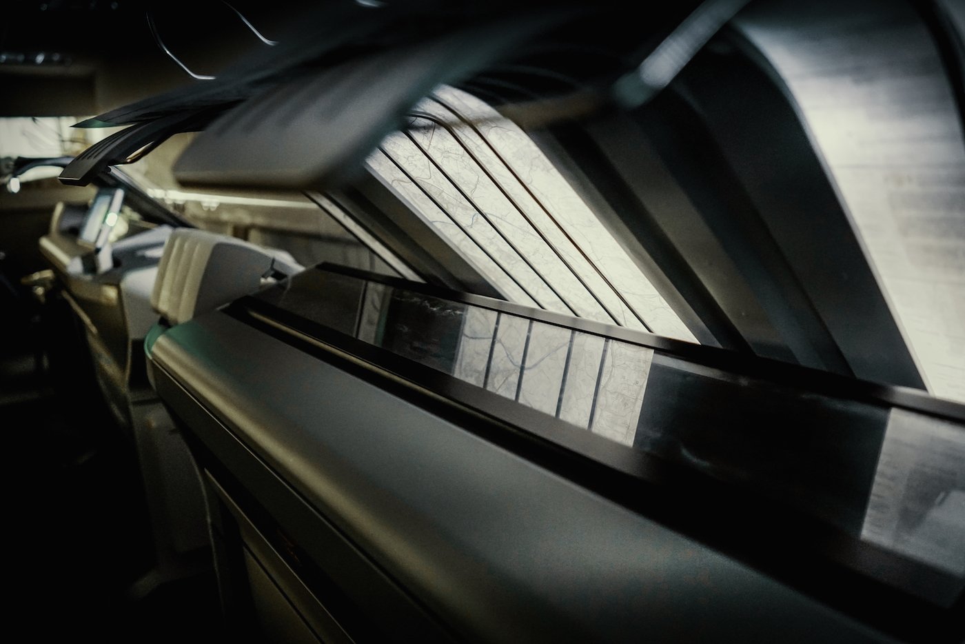
Digital vs Litho Printing
Planning to print a product? Then you’ll need to choose which printing method – digital or litho printing – is the right fit for your project. Luckily, we’re here to help! We’ve compared both services, to make choosing one that bit easier.
Does Dennis Maps offer both digital and litho printing services?
Yes, we’re specialists in large format digital printing and large format litho printing. We offer smaller format digital and litho printing services as well. With a range of printing options, there’s sure to be one that’s perfect for you.
How does digital printing work at Dennis Maps?
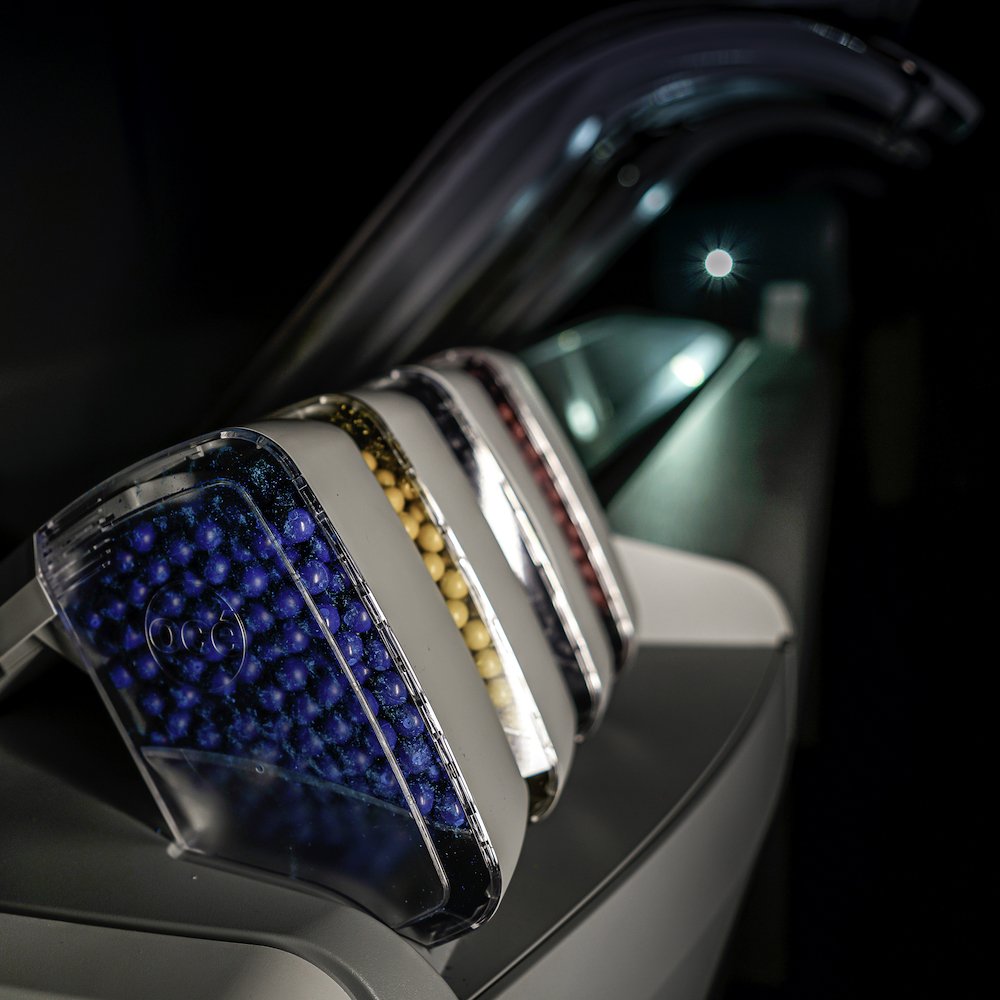 We use two specialist Canon ColorWave 3800 printers to create large format digitally printed products. They work on the Solid in – Solid out principle, an environmentally friendly system that’s solvent free. Océ TonerPearls – small, solid pearls – are used instead of ink. In the printers, the TonerPearls are heated and become toner gel. Imaging devices then fire the gel onto print media with extreme accuracy. The gel droplets maintain their shape on the material, giving a high-quality print without the feathering that can sometimes be found on conventional inkjet prints. Our ColorWave printers can create maps, charts, posters, CAD drawings, canvas prints and self-adhesive films.
We can also print digitally in smaller formats. We use a Ricoh Pro C7200 machine to create medium format digital prints up to SRA 3 size (450mm x 320mm). This is ideal for leaflets, small posters, business cards, pocket size maps, and map covers (for maps with separate rather than integral covers). Something else in mind? Let us know and we’ll always see what we can do!
 What benefits can digital printing offer?
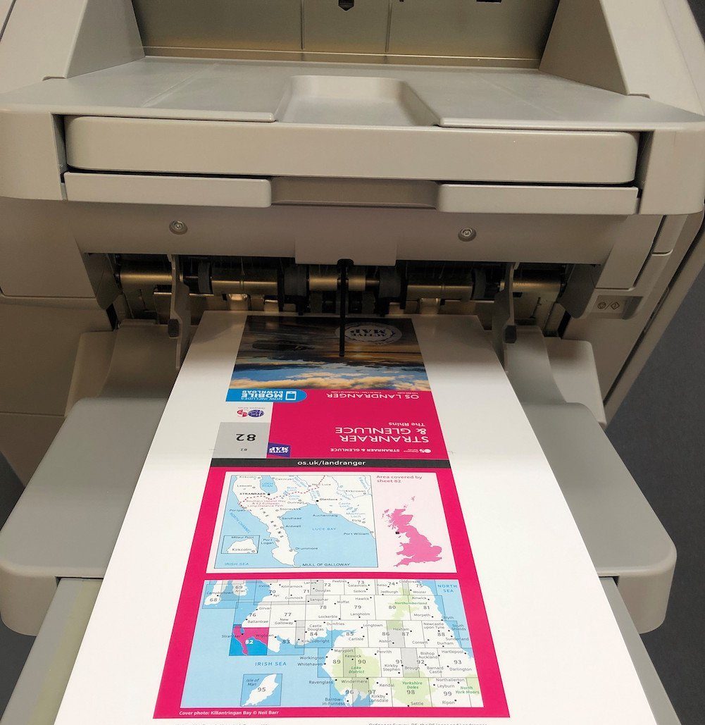
Large format digital printing has many associated benefits. It offers flexibility around print runs – you can create a single print or choose to order many more, and all at a competitive price. The CrystalPoint technology is extremely cost effective compared to conventional inkjet printers. We create high quality, waterproof prints that are dry as soon as they leave our printers. This means they can be finished quickly, whether they need to be trimmed, folded or packaged. Planning to print a map or chart? We’ve spent time developing a set of map formats, the size of Ordnance Survey’s iconic Explorer and Landranger series. Customers can cost effectively create a single map or chart in colour using these existing formats. Notably, CrystalPoint creates a durable finished product that’s suited to outdoor use, making it an excellent choice for charts, maps and posters.
What materials can I create digital prints on?
Dennis Maps has a range of materials for you to choose from. We stock FSC-certified plain paper, poster paper, specialised map paper and recycled paper. We also offer Tyvek (tear proof and waterproof paper), canvas and self-adhesive film. Do let us know if you have another material in mind and we’ll investigate sourcing it.
How does litho printing work at Dennis Maps?
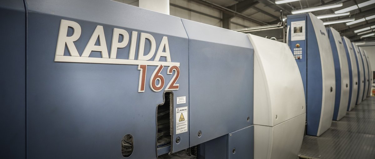
At Dennis Maps we use offset lithography (or litho) printing. Large format litho printing is a specialist service that isn’t as widely used as other types of litho printing. The process uses very large sheets of paper, a bigger plate setter, sizeable printing plates and a large printing press. Our KBA 162a large format printing press prints in as many as six colours on an incredibly large sheet of paper – 1200mm x 1620mm. Our presses create a printed image through a delicate chemical balance of oil-based inks and water. The ink is sent to the image areas of the printing plate and repels the water used in the same process. The water is collected by the non-image areas of the printing plate that are water receptive. When the water hits the non-image areas it prevents the ink from adhering, so it’s redirected to the ink-receptive areas instead.
 What benefits can litho printing offer?
Litho printing is the ideal choice if you want to print large volume, high quality prints at a competitive price. This form of printing is more cost effective than digital printing for large print runs. Large format litho printers do take more time to set up than their digital equivalents but, once set up, large print runs are completed much faster. Our KBA 162a printer can produce as many as 10,000 large format sheets per hour!
Large format lithography is popular worldwide, for printing posters, maps, catalogues, books and more. Notably, it’s great for producing large paper maps. The large paper size used in our printers allows for an incredible amount of cartographic detail to be shown, in a way it wouldn’t be on a smaller sheet of paper. Looking to print something smaller? We cater for litho printing in smaller formats too.
What materials can I create litho prints on?
We offer a range of materials for litho printing, including weather-resistant and waterproof options.
Still undecided?
Our expert team are always here to help you choose the right printing service. Do get in touch if you’d like any advice on how to print large. We’re here to guide you through the printing process from start to finish.
Dennis Maps is one of the leading map printers in the world, producing more than two million maps and charts every year. We offer comprehensive pre-press services, large format print solutions using both large format litho printing and large format digital print technologies, plus specialised map folding and map finishing techniques.

Got an idea? We’re here to help
We’re always happy to help transform your idea into a reality. At Dennis Maps, we print a vast range of items, from large format posters to maps, and plenty in between. Here are some factors to consider, to help you turn your idea into a product you’re proud of.
Will you go big or BIGGER?
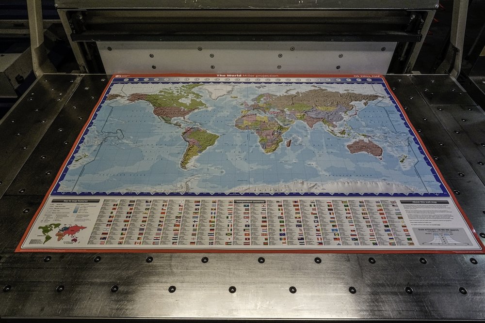
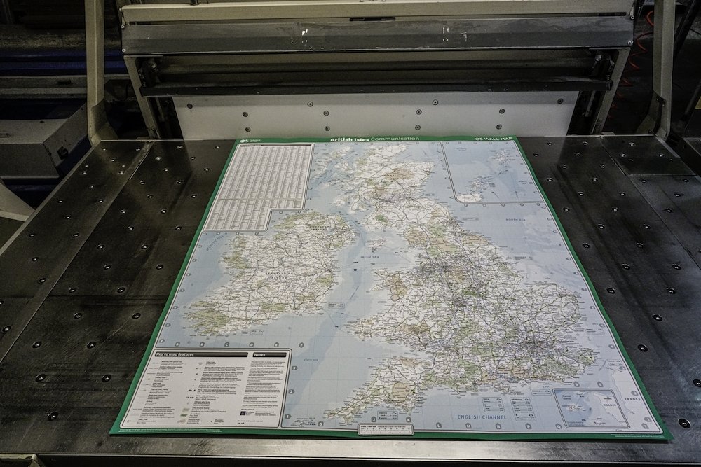
Size is a key factor to consider when exploring your idea. How big would you like your finished product to be? Our staff are highly skilled at large format printing, and we have specialist equipment to complete our many large format printing jobs. We can create posters or wall maps up to a maximum size of 1100mm x 1600mm (flat trimmed size). Prints start from 640mm x 1020mm. Want to print a chart or folded map? We have a vast range of sizes to choose from. Find out more.
Folded and flat posters
Thinking of printing a poster? Consider if it would work better flat or folded – we can create either. We can print large format posters and trim them to size, leaving them flat. Considering a folded poster? We’re able to print large format ones and fold them down to a handy size. As an example, an A0 poster (841mm x 1189mm) can be folded down tightly until it’s A4 (297mm x 210mm), making it the ideal size to distribute.
Mapping out your idea
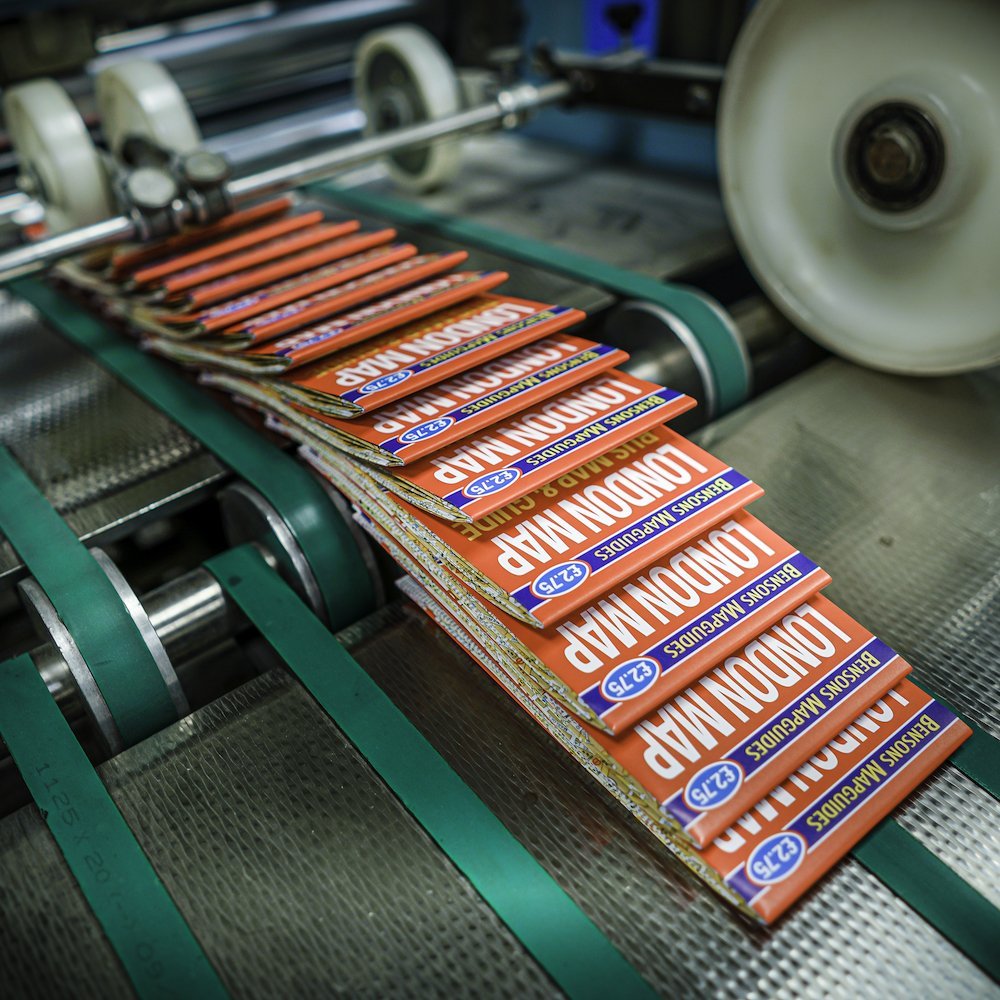
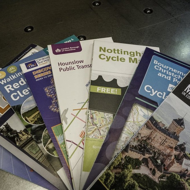
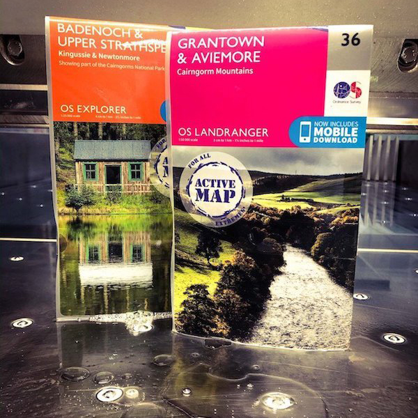
Want to create a map? Firstly, consider if it needs to be folded or flat. If you choose a folded map, we can produce it with an integral cover, separate cover or without a cover. Folded maps with an integral cover are a cost-effective option. The map cover is part of the map sheet, so everything can be created from one large sheet of paper. This allows you to choose from a huge range of sizes for your map too. A folded map with a separate cover is a classic style and used by OS for their paper maps – a definite stamp of approval! A cover gives the map extra protection from general use and changeable weather. Unsure if you need a cover? Then get in touch. We’re always available to advise.
Can’t quite put your finger on it?
Do contact us if you’ve got an idea but can’t decide the best format for your finished product. We always enjoy hearing about exciting new concepts. We don’t offer a design service. However, we can offer advice on the type of product you could turn your idea into.
 Pick your paper
What type of paper would you like? You can rest assured that all the paper we stock is environmentally friendly and FSC© certified. All FSC© paper is sourced from sustainably managed forests. We keep three paper options in stock: Progeo 90gsm, Eucalyptus 70gsm and Opera Matt 100gsm,115gsm and 150gsm. Find out why they all come highly recommended.
Have you got another paper in mind? We can source many additional papers alongside our regular stock. We can also print on synthetic and waterproof materials – perfect for maps! We recommend Polyart 90gsm and EnDuro Effect W1 100gsm.
How to supply your file
At the start of the production process, we ask customers to supply their design file, ideally as a PDF. We don’t offer an in-house design service so require all our customers to send their finished designs to us. We accept files via email or WeTransfer. The latter is a free service and designed to support larger file sizes.
Delivery options
Take some time to think about the best delivery option for your finished product too. At the start of the process, we’ll send you a quote for your project. This will include delivery to one mainland UK address. Delivery to two or more address can also be arranged. Are you abroad? We offer international delivery for an extra charge. Just let us know your address and terms of delivery (e.g., Delivery Duty Unpaid). Do you need your delivery in bulk? We offer fulfilment options where your product can be stored then packaged, labelled and posted to different addresses. Don’t forget to mention the delivery option you’d like when you request your quote from us.
Turnaround time
Quality takes time to achieve, with a two-to-three-week turnaround time depending on the product you choose. Delivery times can vary, depending on your delivery address. Let us know if you have a set timeframe to work to and we’ll always see what we can do! Find out more about our delivery times.
As you can see, there’s lots to think about when turning your concept into a reality. Do get in touch if you have any questions – we’re always here to help.
Dennis Maps is one of the leading map printers in the world, producing more than two million maps and charts every year. We offer comprehensive pre-press services, print large format print solutions using both large format litho printing and large format digital print technologies, plus specialised map folding and map finishing techniques.
Encapsulated maps – designed to last, whatever the weather
At Dennis Maps we offer a range of services to finish off your printed map to perfection. One of these is map encapsulation, a process we’re highly skilled at.
What are encapsulated maps?
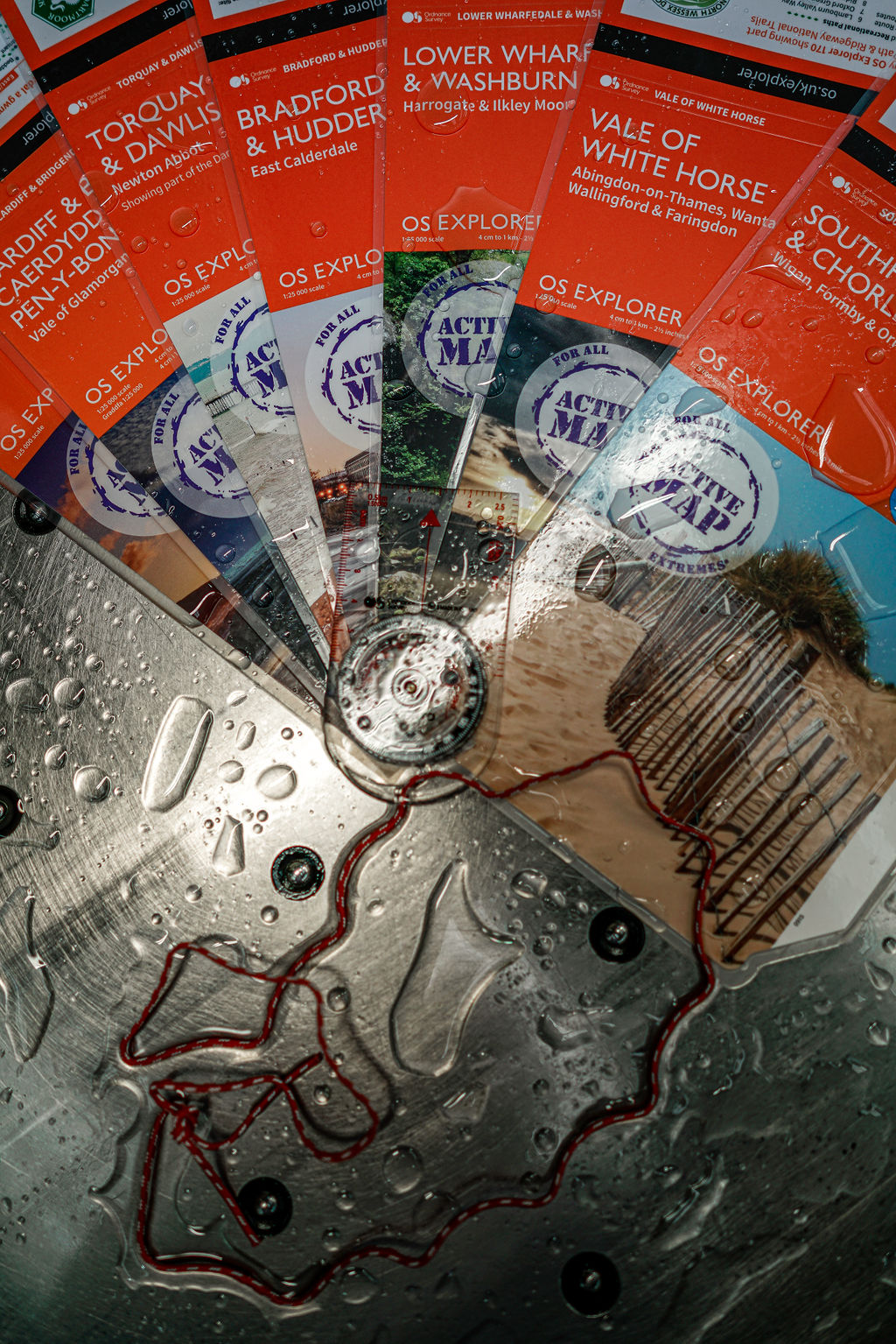
Encapsulated maps are paper maps that we mechanically cover with two sheets of thin, clear plastic film, before sealing the film along all the map’s edges. When a map is encapsulated it becomes incredibly durable, with a tough outer layer that stands up to even the harshest weather conditions. Encapsulated maps are tear proof too. We can encapsulate your maps whether they’re flat or folded, with or without covers.
Expert Tip
Our in-house experts suggest choosing a thin encapsulation material for your folded maps. This will allow them to be easily refolded after encapsulation. It will also make them much more user-friendly than thicker material would.
Are encapsulated maps the same as laminated maps?
The two may sound similar but they’re really very different. When maps are laminated a thin plastic film is applied to one side of the printed map. This can give a nice glossy finish but it’s not as durable as an encapsulated map. You can find out more about the lamination process on our laminated maps page.
How we create encapsulated maps
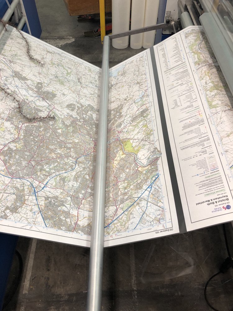
When it comes to flat maps, it’s a straightforward process. We use guillotines to trim printed flat maps to their final size. Then the maps are passed through our encapsulation machines – a Galaxy 1100 Map Encapsulation Line or Galaxy 540 Map Cover Encapsulation Line – and they’re good to go.
It’s a little more complex with a folded map. This is where our skill and experience come into play. We trim the printed maps to their final size on one of our two large format guillotines – a Schneider Senator 155 TCV Guillotine or a Schneider Senator 137H CT Guillotine. After that, we fold the maps. It’s a chance to work our magic! We offer a huge variety of fold configurations using our specialist map folding machines – the Stahl GD 142 T specialised map folding machine, Stahl GF 142 BGL specialised map folding machine, MBO T-130 Large Format Folding Machine and MBO T-800 Medium Format Folding Machine.
And here’s where it gets interesting…
Once the maps have been folded, we unfold them again – which might sound strange! Then we lay them flat, ready to be encapsulated. The next stage is to feed the sheets into one of our specialist encapsulation machines – the Galaxy 1100 Map Encapsulation Line or Galaxy 540 Map Cover Encapsulation Line that we mentioned earlier. They go through a set of rollers in the machine, which applies a thin encapsulation film to both sides of the sheet, using pressure and heat. Next the sheets move through the machine, and any extra film on the borders is trimmed off. This gives a neat border of film, of around 3mm, on all sides of the sheet. After this, we refold the encapsulated sheets along their existing fold lines, using a specialist map folding machine. If the maps don’t have a separate cover, the next stage is refolding them and holding them in place with a retention band. These are small bands that keep maps folded when they’re not in use.
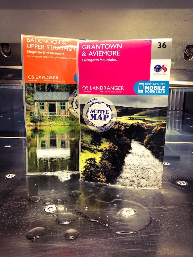
What happens when maps have separate covers?
If your maps have separate covers, they’ll need encapsulating too. We use a smaller map cover encapsulation machine to do this. The technical process is the same as for encapsulating maps. Once the maps and covers are encapsulated, we join them both together and fold them into their finished form. Everything is held in place with a neat retention band.
Why should you choose map encapsulation?
It’s the perfect solution if you’d like to print your maps on regular paper but want to make them waterproof and tearproof too. Encapsulation is cost effective but gives you a high-quality product that can withstand any weather.
We’re here to help
At Dennis Maps, we’re happy to help you through the map printing and encapsulation process. We’ve got experts on hand to answer any questions you may have about map encapsulation and the benefits it can offer.
Dennis Maps is one of the leading map printers in the world, producing more than two million maps and charts every year. We offer comprehensive pre-press services, large format print solutions using both large format litho printing and large format digital print technologies, plus specialised map folding and map finishing techniques.
"Our maps are designed and made by people who love the outdoors"
 HARVEY Maps is an independent publisher of hundreds of outdoor recreational maps – the largest of its kind in the UK. We catch up with CEO Adam King to find out more about the Dennis Maps’ customer and its award-winning maps.
What do you personally find so incredible about maps?
I’m a long-time fan of maps, which comes from growing up in a family of outdoor enthusiasts. I used to see them as pieces of code you needed to crack. Once you knew the symbols it opened this whole world up.
Can you tell us about the maps you produce?
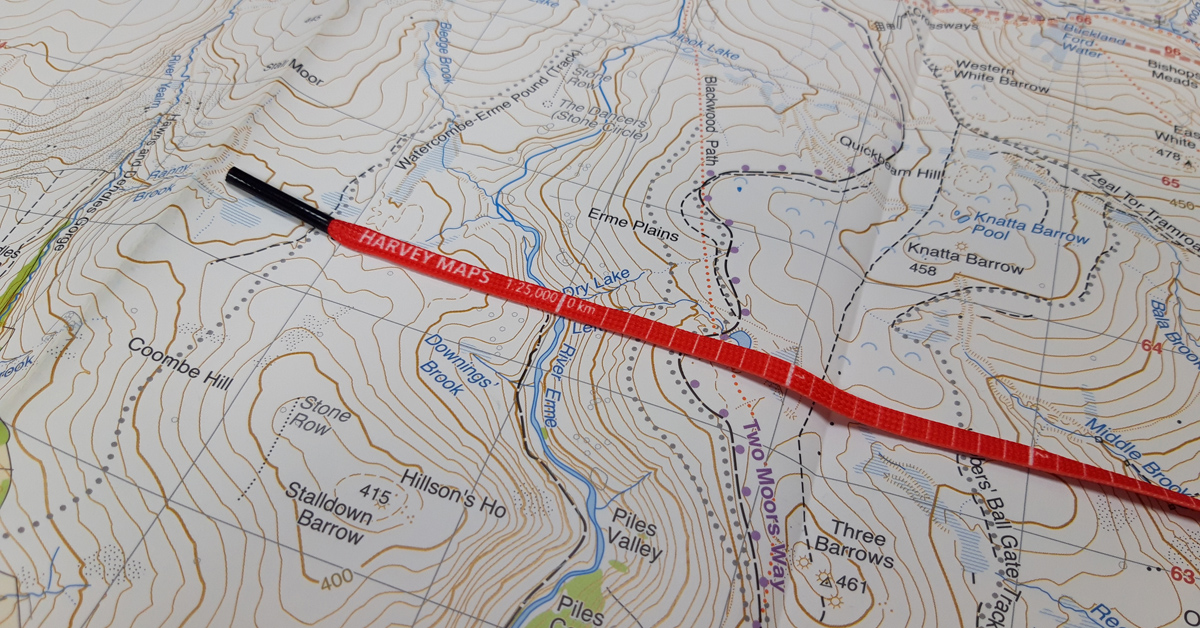
We produce a range of maps for outdoor pursuits, that are all tough, light and waterproof. They’re made from polyart and feel a bit like a banknote. You can scrunch them, drop them or get them wet, and they’ll survive – they’re built to last. They’re available at 1:25,000, 1:30,000 or 1:40,000 scale. We have different ranges of maps designed for walkers, cyclists, hikers and fell runners. Then we have our event maps and our custom maps. We can also license our data, so customers can put our maps on whatever they fancy!
Which map have you been most excited to work on at HARVEY Maps?
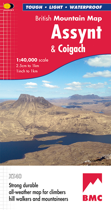
The British Mountain Map Assynt & Coigach holds a special place. We mapped this area early on in my time at the company. I was able to go on the survey team to the far north-west of Scotland. As a cartographer, it was an interesting map to work on. Because of the type of rock there, mountains pop out of nowhere. And there are no trees either, so it’s a really weird landscape. I fell in love with that part of the world.
What makes your maps so special?
Our maps are designed and made by people who love the outdoors, so they’re fit for purpose. Customers tell us they really like the level of detail we put on them too. Our maps are detailed but without the noise. Our data is all drawn and created in house as well.
You mentioned HARVEY Maps uses its own data to create maps. Why is this?
It’s our history and our philosophy. It’s why we exist as a company. Our founders, Susan and Robin Harvey, set the business up in 1977, after having successfully created mapping for the World Orienteering Championships. They wanted to draw everything for the event themselves, so they could control what it looked like and decide on the level of detail needed. The reviews were so good they decided to further develop their mapping into a business.
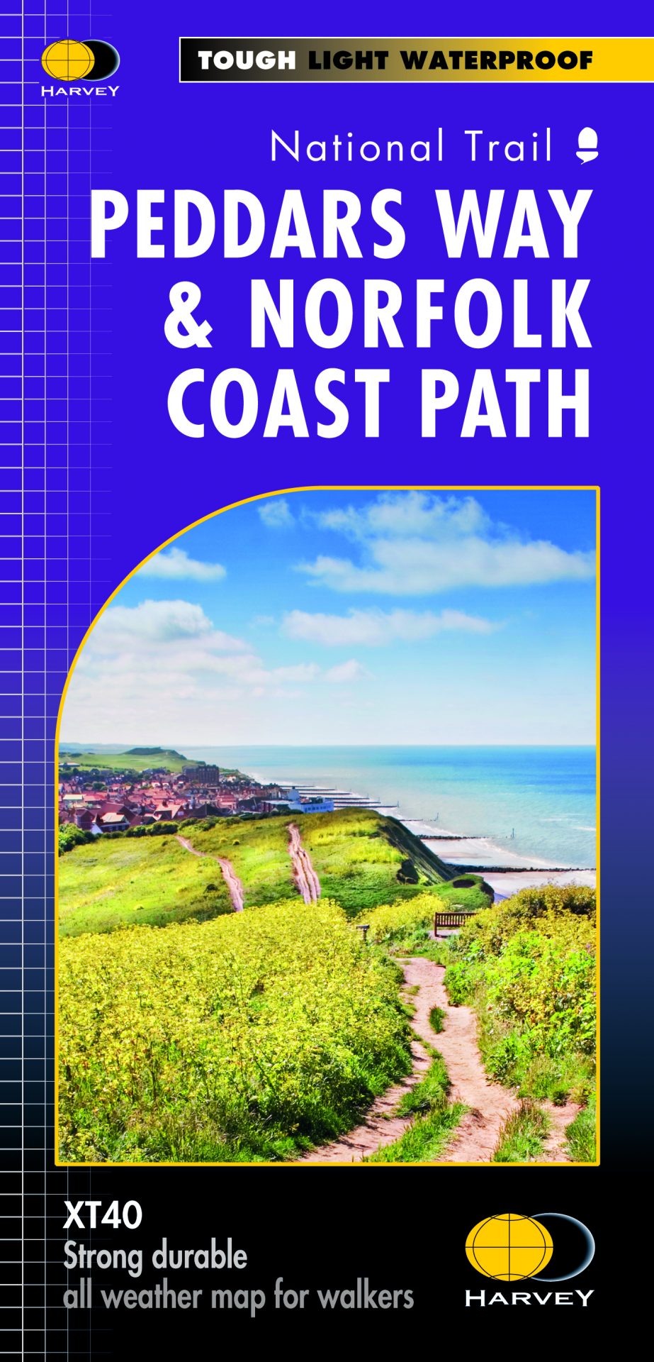
How do you make your maps from start to finish?
Every map involves everyone in the company. We start with research and planning. We don’t map everywhere in the UK; we look at areas we think people will go to. Early on, we work out where maps should start and finish and make sure a car park is on there, so access is easy. We buy in aerial photography, load it into computers and our photogrammetrists get to work. It takes them five to six months to trace and draw everything. They spend a long time gathering all the information they can, but you can’t see everything from aerial photos.
Next, the cartographic team turns the photogrammetrists’ lines into something you’d recognise on a map and apply colours, symbols, text, etc. The survey team then goes to the area of the new mapping and spends about a week walking the key routes. We cover everywhere on foot, looking for new features that we couldn’t see from the aerial photos. When everything is ready, we send the map to Dennis Maps for printing.
What’s the best part of creating a map?
I’m always interested in watching maps slowly grow. It takes so long, and you have this ownership of them. You invest so much time and effort. When you get it back from the printers you hold it in your hands and there’s a huge satisfaction that you’ve contributed to something other people will use.
What challenges do you come up against in the map making process?
A lot of the challenges happen in the photogrammetry stage. If you’re looking at something from an aerial point of view things get in the way. Because of the height of the camera, you can’t always see clearly. There are stories of photogrammetrists marking sheep down as boulders, as navigable features. You have to be careful of that sort of thing! Luckily, we’ve got a very experienced team. There are challenges in terms of cartography too. Where the land gets very steep, it’s a skill to know how to best represent the terrain, so when you pick up a map you can clearly see what’s happening.
How can you help customers who aren’t sure which map is right for them?
We’ve got tons of info on our website and we’re constantly trying to add to it. We’ve got a map search function for Scotland, where you type in the name of the mountain you want to walk, and the website will return a list of maps. You can also pick up the phone or send an email – we’ve got plenty of people who are happy to talk about maps!
Can you tell us a bit about your digital mapping?
We supply our data to select third party companies and they manage it on our behalf, giving us a digital presence. We use Avenza Maps, HiiKER, Outdooractive and Satmap.
Do you think digital and paper maps both have their place in the future of mapping?
We definitely think so and our customers tell us the same. It’s about finding a balance between the two. Digital devices can give an instant location, but the screen is so small. A combination of digital and paper maps can give you a safe route. We’d always recommend carrying a paper map, they don’t run out of battery and so on. The two really complement each other. I don’t see the relationship changing anytime soon.
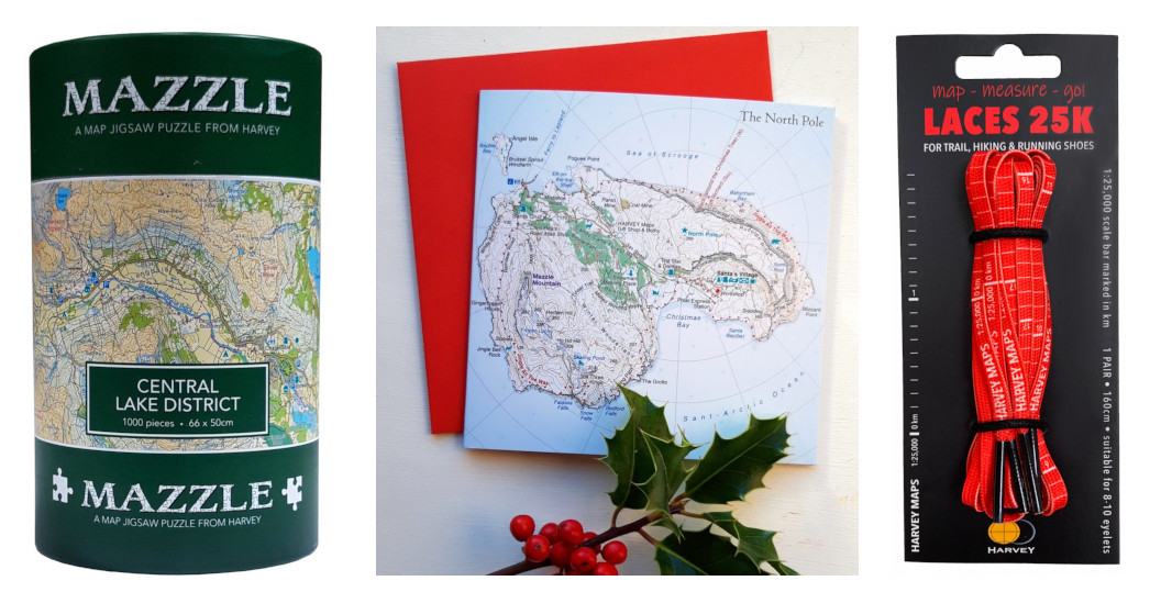
HARVEY Maps offers a range of products alongside its maps. With Christmas around the corner, are there any items you’d recommend as gifts?
It has to be the MAZZLE and our Map-Measure-Go! laces. The MAZZLES are map jigsaw puzzles and are very popular. They were one of the company’s first creations, so they’re almost as old as the business. The laces look great too and we like that you can use them as a compass lanyard, because they’ve already got the scale on them. Then there’s our XT Headwear, that features contours of famous mountains, like Ben Nevis, Scafell Pike and Snowdon. We’ve got our North Pole Christmas Cards that are good fun too.
Have you got any new maps in the pipeline for 2023?
We’ve got some new trail maps coming out next year, for the Wales Coast Path, that will be covered in four maps. They should be coming around Easter for the full set. We’re working on maps of other parts of the UK too – watch this space!
Dennis Maps is one of the leading map printers in the world, producing more than two million maps and charts every year. We offer comprehensive pre-press services, large format print solutions using both large format litho printing and large format digital print technologies, plus specialised map folding and map finishing techniques.
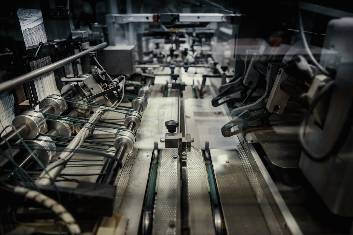
A world leader in map finishing
At Dennis Maps, we not only offer map printing but map finishing services too – so your map can be printed, finished and packaged in one go.
What is map finishing?
Map finishing involves transforming the printed map into the final product, using different specialised and niche equipment. We’ve got the UK’s – if not the world’s – most comprehensive specialised map finishing equipment. Plus, we have an expert team, who are highly skilled at carrying out map finishing services.
There are plenty of finishing options to choose for your map, including having it delivered flat, rolled into a tube, folded or folded with a cover. Our in-house experts will work with you to come up with the perfect solution to meet your needs.
Why choose Dennis Maps?
We have a vast range of map finishing equipment and can offer you a winning blend of quality, price and speedy production that few other printers in the world can match. When you choose Dennis Maps, you’ll be guided through the printing process and have access to our industry experts, whenever you need it.
What are the different stages of map finishing?
There are several stages in the map finishing process, that you can find out about below.
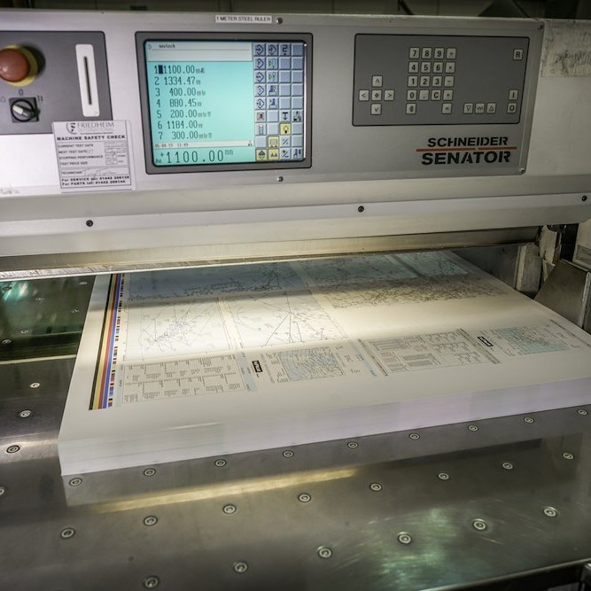
1. Trimming a map
Firstly, we trim your printed map to size. Don’t worry, we won’t use a large pair of scissors for this! Our factory has two large guillotines that are designed for specialist trimming. We use a Schneider Senator 137H CT Guillotine with full ancillary equipment and auto waste removal, plus a Schneider Senator 155 TCV Guillotine.
2. Folding a map
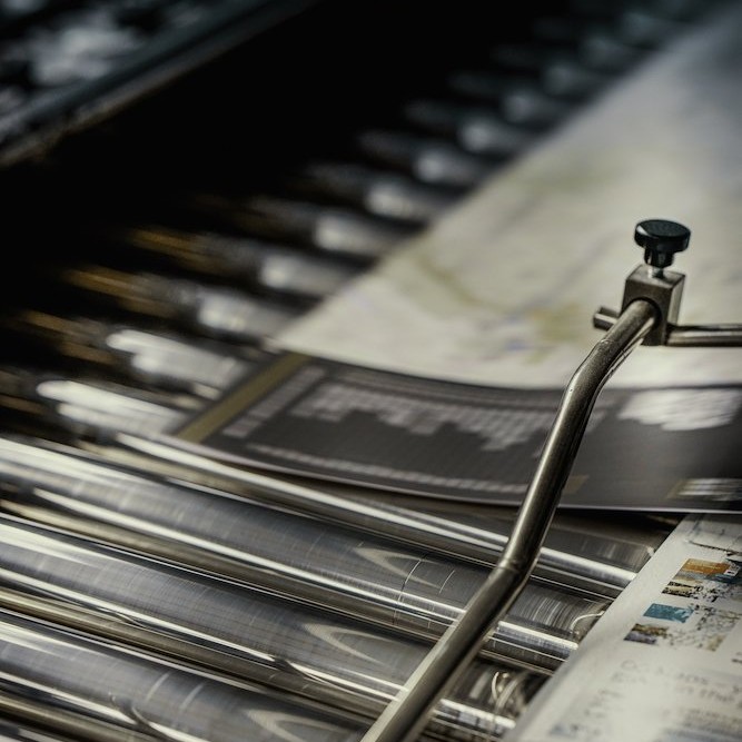
This is where we work our magic! We offer a large variety of fold configurations, from a large single sheet of paper, using our four specialised map folding machines. These include the Stahl GF 142 BGL specialised map folding machine (2/2,5/5 + knife unit) and the Stahl GD 142 T specialised map folding machine (2/2,5/5 + knife unit). These two large format map folders are the only ones in operation in the UK, making them something quite special. We also use the MBO T-800 Medium Format Folding Machine and the MBO T-130 Large Format Folding Machine to achieve a variety of fold configurations.Want to find out more about map sizes, as well as folding options? Then head over to our FAQs.
3. Laminating a map cover
Have you chosen a separate cover for your map? Then we’ll usually laminate it after printing. We use a Billhoefer 102 machine to laminate map covers. You can pick from either a matt or gloss effect finish.
4. Die-cutting and creasing a cover
At this stage, we die-cut and crease laminated map covers to their final size, ready for them to be attached to a map. We do this using two Heidelberg SBG cylinder machines.
5. Joining the map cover and the folded map
Then we move on to the most exciting part of the process! We use our incredible CMC Map Finishing machine to join map covers to folded maps. Our specialised finishing machine is really unique – it’s one of only two in the world. See it at work below.
 6. Encapsulating (waterproofing) a map
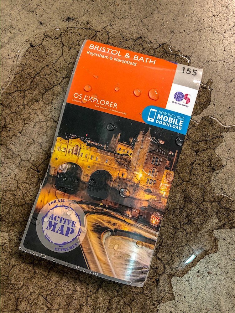
This stage is optional. If you’re looking for a waterproof map, our encapsulation service can help. We use two encapsulation machines: a Galaxy 540 Map Cover Encapsulation Line and a Galaxy 1100 Map Encapsulation Line. During the process we add a protective film to both sides of a map and its cover, making the final product tearproof and waterproof. Your map will be ready for use whatever the weather.
We’re here to help
We’re here to help your map concept become a reality. Our friendly team are happy to discuss whatever you have in mind, whether you want to talk about map covers, folding patterns, or different finishing options.
Dennis Maps is one of the leading map printers in the world, producing more than two million maps and charts every year. We offer comprehensive pre-press services, large format print solutions using both large format litho printing and large format digital print technologies, plus specialised map folding and map finishing techniques
Choose A Custom Made Map This Christmas
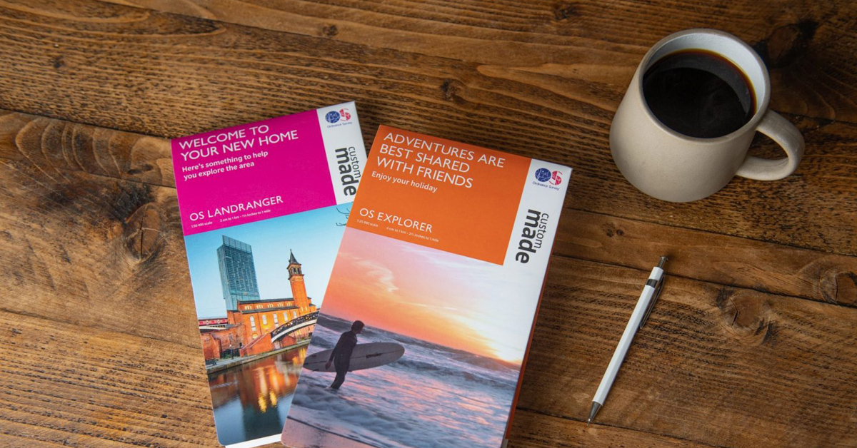
We’re all planning what to buy for loved ones, with Christmas just around the corner. Looking for something unique? Then look no further than an Ordnance Survey (OS) Custom Made map. They come in many styles, scales and sizes, so you can choose a map that’s designed for a loved one or as a treat for yourself. “I love the versatility offered by Ordnance Survey’s Custom Made map range – combining the trustworthy accuracy of OS mapping with the ability to customise is great!” says OS Product Manager, Sam Emberson.
Design your own map
There are loads of options when it comes to designing your map. You can centre it on any location in Great Britain you choose. It could be your home, where you got married or a favourite holiday spot. You could even choose the place you take your pet dog for their favourite walk. The possibilities are endless! If you choose a folded map, you can be even more creative and pick a picture and title for the cover. Upload an image of a treasured memory or pick a picture from the OS image library, to really make your map stand out. “Being able to add a photo and a message makes this a truly personal gift,” says Sam.
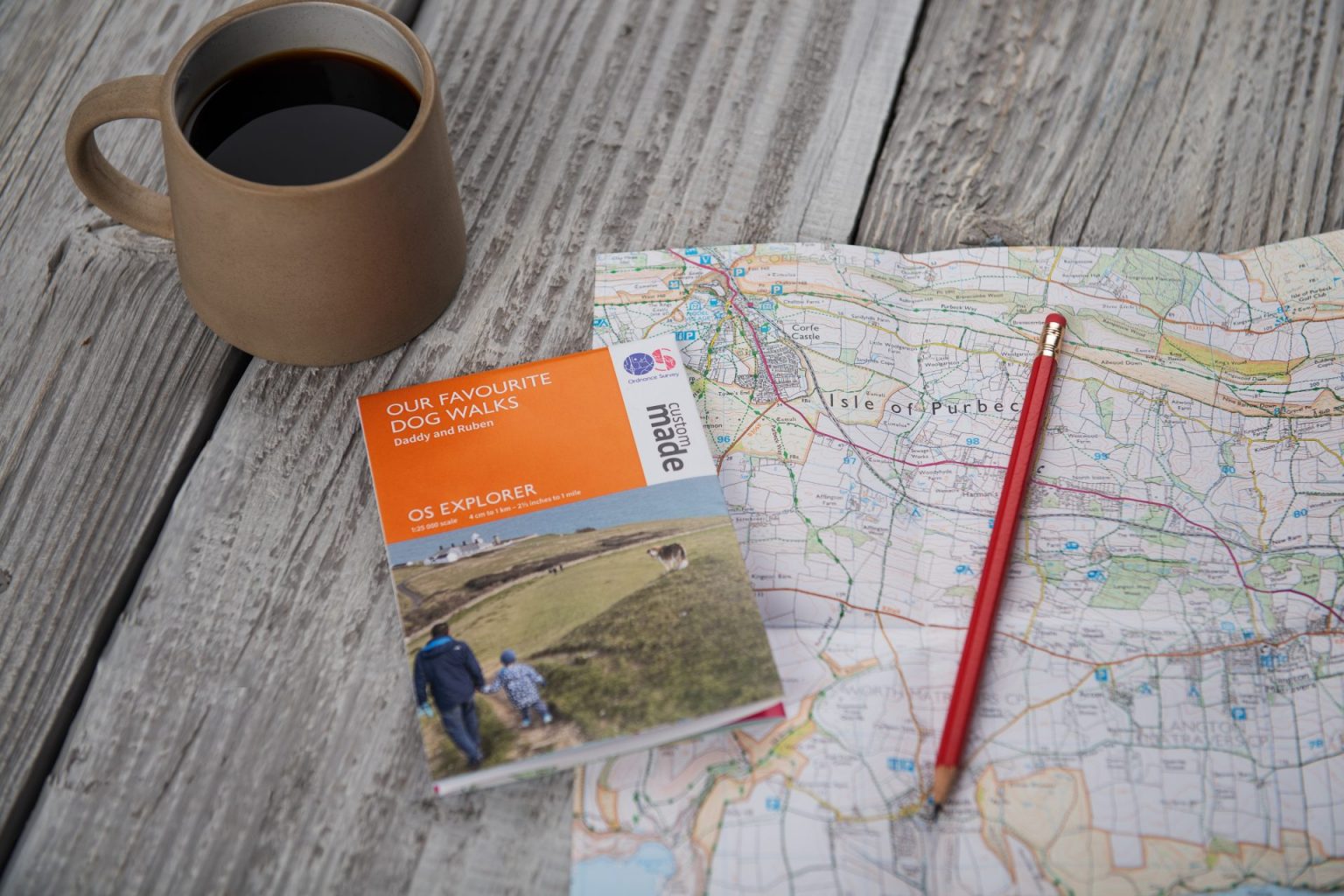
You can choose your map’s format and scale too. Maps come in the iconic OS Landranger and OS Explorer formats, so you can select the one that best suits the needs of you or a loved one. Looking for a map that covers a large area? Then choose an OS Landranger map. They plot a vast area but show less detail – with a 1:50 000 scale – so are suited to longer adventures. Want a more detailed map? Pick a 1:25 000 scale OS Explorer map, designed for shorter outdoor activities, like running, hiking and climbing. Another option is the larger scale 1:10 000 OS Explorer Enlarged map, which makes a really striking display to add to a wall.
If you go for a paper map, you can choose to have it folded, flat or framed. Folded is a great option if your map will be used outdoors. Pick from a large folded map or a small folded map (A3). The A3 map includes an introduction to map reading as well – ideal for a beginner. Another option is a large flat map, great if you’re planning adventures from home. OS offers framed paper maps too, as a lovely keepsake. There’s a small size (A3 plus mount and frame), a medium size (A2 plus mount and frame) or a large version. In addition, there’s a large canvas map option, with the option to have it framed. Different styles and colours of frames are available as well. Choose between a black one or an oak effect frame to match a home’s décor.
Incredible quality at an affordable price
All OS maps offer exceptional quality at affordable prices. Paper maps start from only £6.99, canvas and framed ones from £79.99. All the maps are printed at Dennis Maps’ factory in Frome, using state-of-the-art equipment. Folded and flat maps are produced on the same high-quality materials as the OS map series, so they’ll last for many years to come. Mounted and framed maps are hand assembled by a Wiltshire company, using specialist framing techniques.
Delivery options
We take the time to make every map to your exact requirements, but fast delivery options are still available. Dennis Maps works with a courier that delivers maps to customers within 48 hours of dispatch. You can also choose a standard Royal Mail delivery option, to have your map delivered within 2-5 working days. Both canvas and framed maps are assembled locally, so take slightly longer for delivery but they’re still delivered within 10-12 working days. It’s always worth checking the OS website for cut off dates for Christmas delivery, to make sure your map is delivered in time.

Designing your map couldn’t be easier! Visit the OS website, then pick your map material, decide if you want it framed, choose your map type (Landranger or Explorer), location, scale and size. If it’s folded, you can pick a photo and title too. And that’s it – you’ve created the perfect customised gift.

Further reading: Dennis Maps are world leader's in map finishing - find out more.
Dennis Maps is one of the leading map printers in the world, producing more than two million maps and charts every year. We offer comprehensive pre-press services, large format print solutions using both large format litho printing and large format digital print technologies, plus specialised map folding and map finishing techniques.
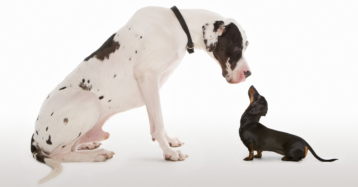
Large format posters – a powerful way to deliver your message
Dennis Maps offers a range of services, including printing large format posters. We catch up with Roger Gilson, our Operations Director, to find out more. He’s worked for Dennis Maps since it was founded and knows everything there is to know about the service!
What are the benefits of a business using large formats posters?
Dennis Maps can print posters from A4 right up to over A0. At the top end of the scale, the size has an incredible visual impact. Whatever size a customer chooses, large format posters are an effective way of advertising a business and attracting attention. They’re a powerful way to deliver your message, whether that message is aimed at a large audience or a select target market.
There’s something quite special about Dennis Maps’ large format poster printing service. Can you tell us what it is?
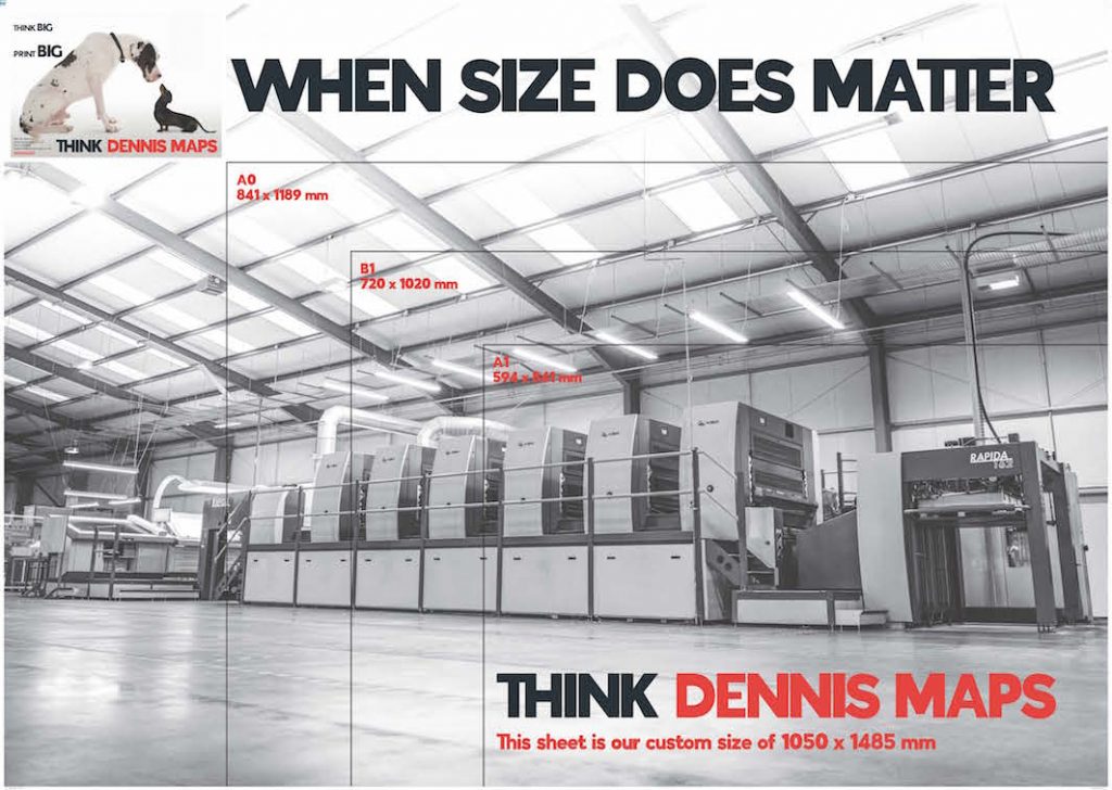
We can fold large format posters down to an easy-to-use size. This creates a fantastic folded promotional product for customers. For example, our maximum size 1050mm x 1485mm posters can neatly fold down to A4 size. We can also begin with the final folded size and work with you to create your design from the inside out. Our folding service is our unique selling point and something many printers don’t offer.
What sizes can customers choose for their posters?
As mentioned, we can print from A4 (1050mm) right up to over A0 size (1485mm) posters. We’re flexible around customer requirements and can usually accommodate most sizing requests. Contact us to find out more.
Large Format Printing Sizes
What types of paper can large format posters be printed on?
We have a range of FSC-certified paper to choose from, including matte, silk and gloss options. They’re available in a selection of weights too, from 115gsm to 200gsm. Dennis Maps has access to a vast library of materials and can also source stock from elsewhere, should you have a different requirement. Looking to laminate your poster? We can do that too!
Can posters be printed double as well as single sided?
Posters can be printed either single or double sided, depending on your requirements. If you’re not sure which option is best for your business, we’re here to offer guidance.
Can you tell us a bit about the machines the posters are printed on?
We use a large format litho printing press, a KBA Rapida 162a, which is great value for money when you’re printing in large quantities. It runs at 4,500 sheets per hour! Posters can be printed digitally too, on our Ricoh Digital Press or Canon ColorWave 3800 digital print devices, which are perfect for print runs under 250 sheets.
Talk us through the process of creating a large format poster at Dennis Maps.
When a customer contacts us, we go over the size, spec and quantity of their order. Then our expert team provide a personalised quote. If that’s accepted, we’ll agree a production schedule. Once we have the files, we prepare everything for print and send customers a hard copy or digital proof to approve. Then the poster goes to print, is left to dry and cut to size on our large format guillotine. It can be folded at this stage too, if required. After this, we package everything up, wrap it securely and it’s collected by a delivery company, to be sent to a specified address.
You offer a complete end to end service – what does this mean?
It means we can deliver the whole service from beginning to end. We print, fold (if required) and package the product, ready for it be delivered to a customer’s chosen address. We can also source presentation boxes for posters, arrange for logos or text to be printed on the box, and package the box professionally with tissue paper and customised stickers. Not all printers offer this.
Are posters recyclable once they’ve served their purpose?
Yes, as a business we’re committed to protecting our planet and being environmentally friendly wherever possible. All our posters can be recycled, even if they’re laminated.
Get in touch to find out more about the service.
Top tips for creating a large format poster
- Don’t forget to leave a 3mm bleed on the design file you send to us. This means we have a margin for potential trimming differences when we trim the poster to its final size.
- Keep important information on your poster at least 3mm away from the poster’s final trim size, to avoid it being cut off by our large format guillotine machines!
- If you need an image for your poster, we recommend stock images sites like Getty Images, Shutterstock, Unsplash, 500px and iStock for striking pictures.
Dennis Maps is one of the leading map printers in the world, producing more than two million maps and charts every year. We offer comprehensive pre-press services, large format print solutions using both large format litho printing and large format digital print technologies, plus specialised map folding and map finishing techniques. Contact us to find out more about large size printing near me.