

Five top tips for planning your print job
Want to find out more about printing with Dennis Maps? We’re here to help, with five top tips for planning your print job.
Small, medium or large?
Spend some time thinking about what size you’d like your product to be. We’re specialists in large format printing and can print up to 1500mm wide and 1100mm long. At the other end of the print spectrum, we can create items as small as you’d like. Carefully consider what your print job will be used for to help you decide the right size.

Choose the right resolution
Before you send your artwork over, make sure it’s the right resolution. All artwork needs to be high resolution to create a high-quality print. A high-resolution image is one that has a greater concentration of dots/pixels, making the image sharper and clearer than one with a lower concentration of dots/pixels. Make sure any images you download from the internet are high resolution, as well as checking you have approval to use them. You may want to create your own high resolution artwork using design packages such as Adobe InDesign. Alternatively, you can work with a graphic designer or a specialist cartographer such as Lovell Johns (if making a map). We recommend aiming for at least 300DPI (dots per inch) for your artwork.
Consider colour
We ask that you send your artwork to us in CYMK (cyan, magenta, yellow and key – meaning black). Printed documents are always formatted in CYMK, whereas online documents are formatted in RGB (red, green and blue). If your artwork is the former, you can convert it to CYMK using a design package. Files sent as RGB will print in a slightly different colour to how they appear on your screen, whereas CYMK will appear as it does digitally. It’s also worth noting that text can appear black on screen, but be composed of other colours, and not appear black when printed. Double check that any black text is actually black.
Pick your paper
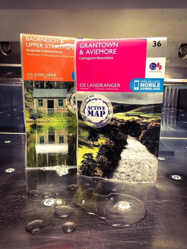
Have a think about the type of paper you’d like to print on. All papers offer different benefits that work well with some products but not others. We stock four types of FSC-certified paper – gloss, silk, matt and uncoated. Gloss can work well for wall maps and posters. All of these, apart from gloss, can be folded, for products like diagrams and folded maps. Meanwhile, uncoated stock has more texture. We offer paper in 70gsm up to 350gsm. We can fold printed items on paper up to 115gsm. The higher the grammage, the more rigid the paper. The lower end of the scale is suited to items like charts and instruction booklets. We hold a vast selection of papers in stock and will try our best to source any other paper you’d like. You can also choose to print on Polyart, a durable and highly water-resistant plastic film.
Be aware of the print process
We have an easy-to-follow print process at Dennis Maps. Firstly, you’ll contact us with your initial enquiry, from which we’ll get enough details to provide you with an accurate quote. Once you’ve approved your quote, we’ll request your artwork. This should be a high-resolution PDF in the size you’d like it to be printed, with a bleed if required. We’ll check that it matches your quote and proceed if everything is as it should be. We’ll process your files and make sure we’re happy with the quality and size. If all is well, we’ll send you a PDF to sign off. Once approval is received, we’ll make print plates (for litho printing) or go straight to press (if digital). All sheets are guillotined once dry. If there are no further processes, the print job will be packaged and dispatched to you. Packages can be sent to a single destination or multiple locations, within the UK or internationally. The turnaround time is always quick but varies depending on the print job.
Hopefully these tips have been helpful, but please do get in touch if you have any questions. We’re always here to help!
Dennis Maps is one of the leading map printers in the world, producing more than two million maps and charts every year. We offer comprehensive pre-press services, large format print solutions using both large format litho printing and large format digital print technologies, plus specialised map folding and map finishing techniques.
New year’s resolutions for the great outdoors
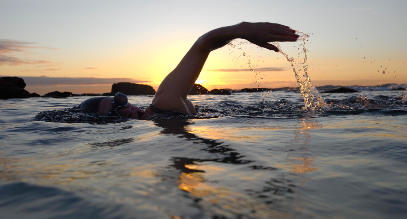
With 2024 here, we catch up with outdoor experts to find out their new year’s resolutions for the great outdoors. Have a read for plenty of inspiration for your own adventures this year!
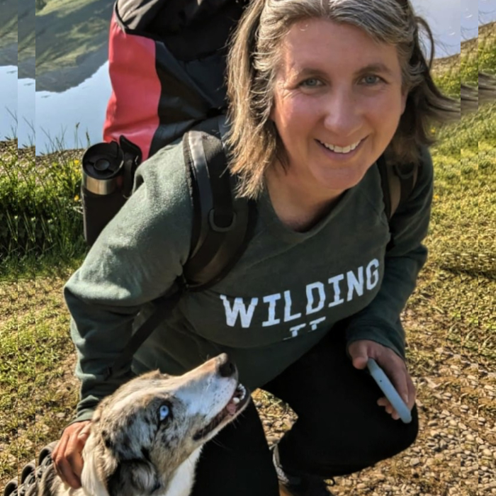
Tara Kelsall, Wild Swim Coach at Wild Swimming Woman
“Wild swimming is my business and my passion. My new year’s resolution for 2024 is to explore the UK more and do more walks to discover new wild swimming spots. I’m also planning to return to my favourite beach ever, in the Outer Hebrides. I’m looking forward to going to some classic sea pools this year, including Clevedon Marine Lake and Dancing Ledge in Dorset as well.”
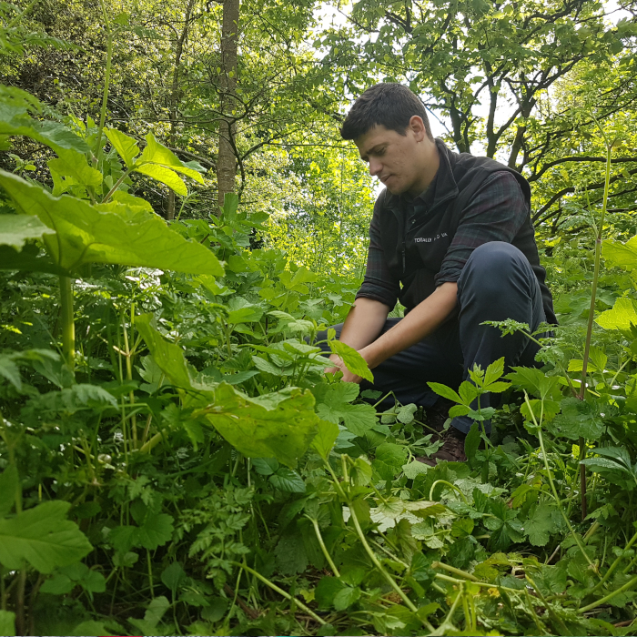
James Wood, Director and Lead Forager, Totally Wild Food LTD
“This year I’m planning to explore and play around with wild fermentation. There are vast health benefits to wild and foraged ingredients, and when we begin fermenting them these are increased. I’ll be starting with sea spinach, which is the big brother of loads of species we eat like spinach, chard, beetroot and more. I can’t wait to, quite literally, tuck into this!”
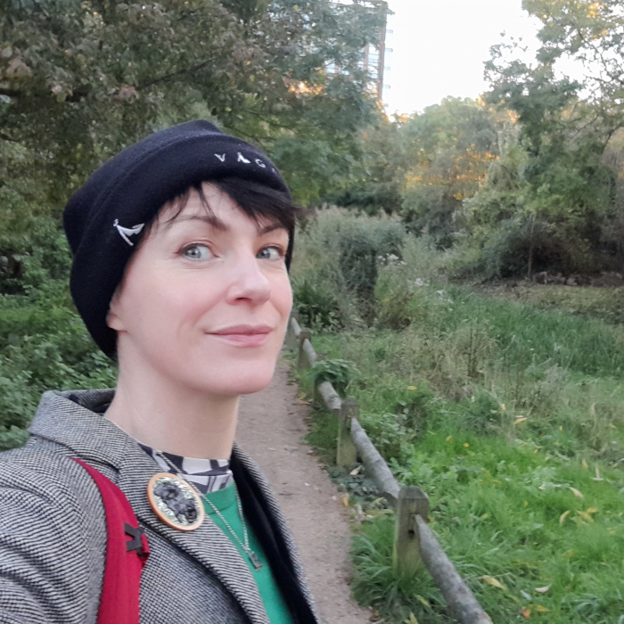 Alice Kershaw, representative of The Wildlife Trusts
“In 2024, my new year’s resolution is to embrace the outdoors more through focused activities, such as outdoor swimming and bouldering. Engaging directly and viscerally with nature and wildlife enhances my physical and mental wellbeing, which is something that The Wildlife Trust’s 30 Days Wild challenge back in June made me more aware of. I particularly enjoyed taking time to listen to the call of the birds and spotting their roosts in city trees. Exploring different landscapes and waterscapes isn’t always easy to do, but I hope that by committing to it as a resolution, I will get out there more.”
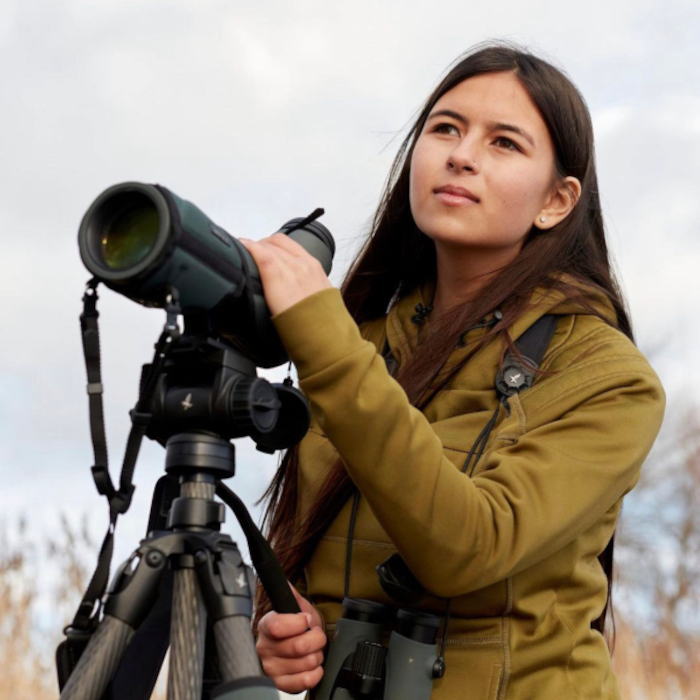
Dr Mya-Rose ‘Birdgirl’ Craig
“I love birds and birdwatching, which have given me joy since I could remember. For the last three years, I’ve been busy studying at Cambridge University and haven’t had much time to go out into the countryside birding. My new year’s resolution is that once I finish at Cambridge in the summer, I will try and see a scarce bird each month, ones that I haven’t seen in the UK for at least three years.”
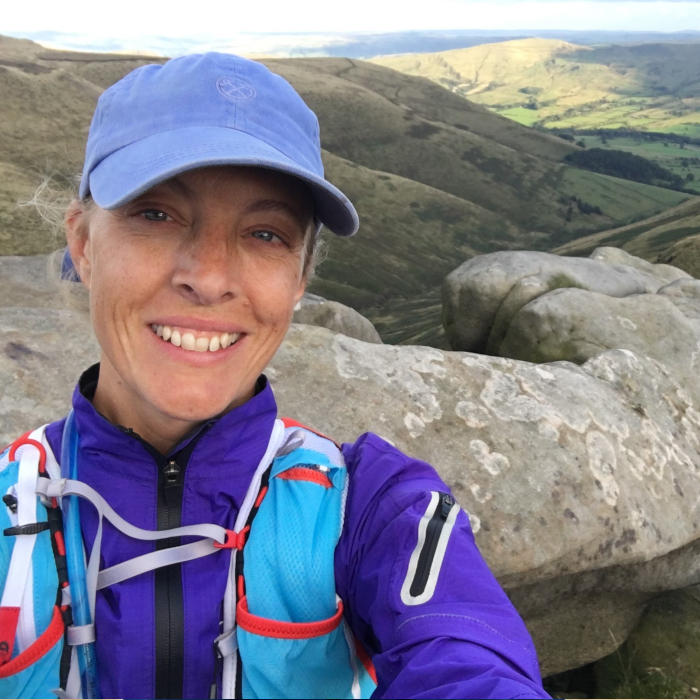 Liz Nelstrop, Outdoor Experiences Consultant at the National Trust
“My resolution for 2024 is to enjoy more fresh air and adventure with walking groups on National Trust landscapes and beyond. They’re led by our volunteers or by local community organisations, for example, Black Girls Hike, Muslim Hikers or Mason Mile. I always learn new routes, see amazing places and feel completely uplifted from the warmth and joy of the other participants I meet.”
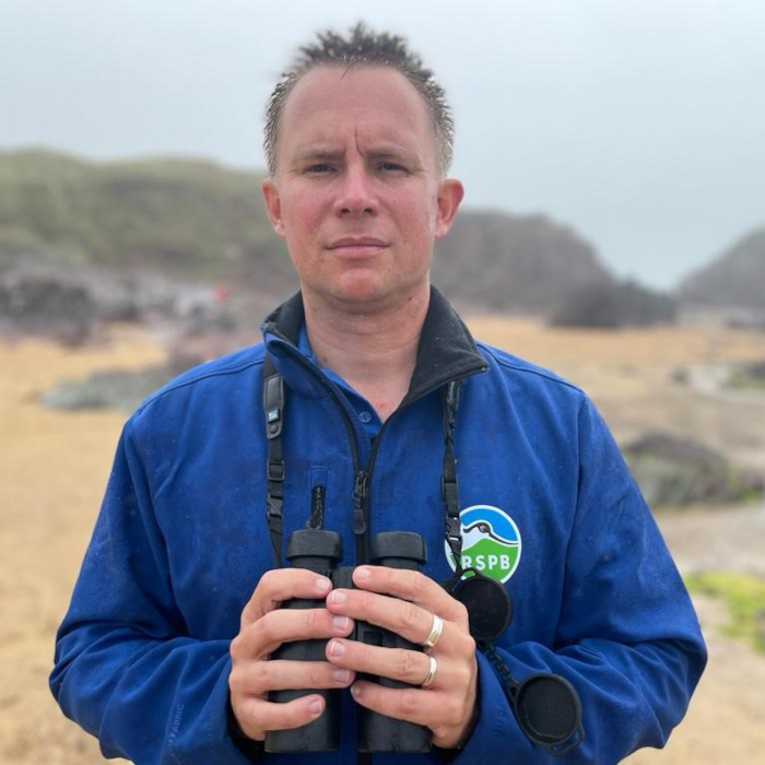 Jeff Knott, Director of Policy and Advocacy at the RSPB
“I grew up by the coast and there’s nothing like the big horizons, dynamic environment and bracing winds to freshen up the mind and body. My new year’s resolution is to make more time to get to some of the amazing coastal nature reserves across the UK, from Arne to Minsmere, Ramsey Island, Lough Foyle, and Dunnet Head, and to soak up all of the sights and sounds of our wild seaside. “
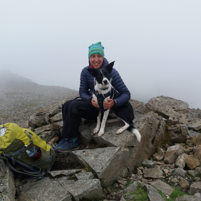 Jane Fox, DofE Manager at Beechen Cliff School in Bath
“This year I’m hoping to have many more outdoor adventures with friends and my collie dog, Tipi. Hopefully some long-distance trails, camping and lots of cake and coffee stops! We also can’t wait to have more adventures with DofE groups on expeditions, from the Mendips to the Lake District. It’s shaping up to be a fun, action packed 2024!”
Dennis Maps is one of the leading map printers in the world, producing more than two million maps and charts every year. We offer comprehensive pre-press services, large format print solutions using both large format litho printing and large format digital print technologies, plus specialised map folding and map finishing techniques.

A year in maps
Did you know that Dennis Maps prints over two million maps and charts every year? We’ve been lucky to produce plenty of interesting and unique maps in 2023. Here are a small selection of them:
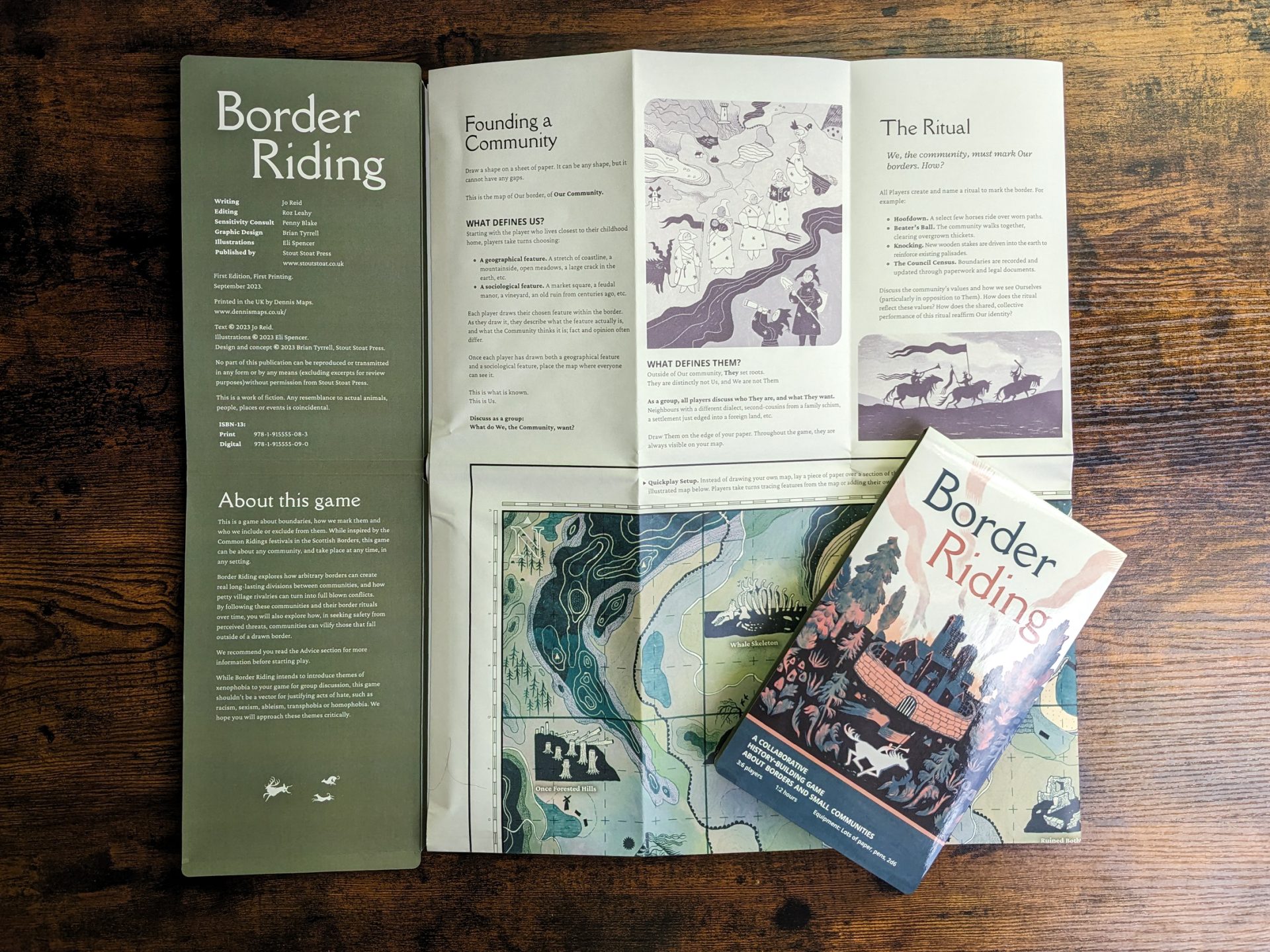 Border Riding
We’ve seen many maps over the years but never a map that’s a game too! Border Riding is inspired by a tradition from the Scottish Borders, called Common Riding. The annual festivals are a tradition that began in times of war, when communities reasserted their borders from armies and land-stealing lords. Over centuries, the practice has become a festival that takes place to this day.
Take part in the game to map a village’s story and ride through its history. It’s about exploring the boundaries of a community, through the rather unusual medium of a large hiker’s map. All the rules can be found on the illustrated map, which can be unfolded and refolded at different stages of the game, or spread out across a table for a fuller view. You’ll work collaboratively with friends to create a community, with its own landmarks and boundaries. The thought-provoking game will make you think about what this community defines as “us” and “them”, exploring how borders can divide communities.
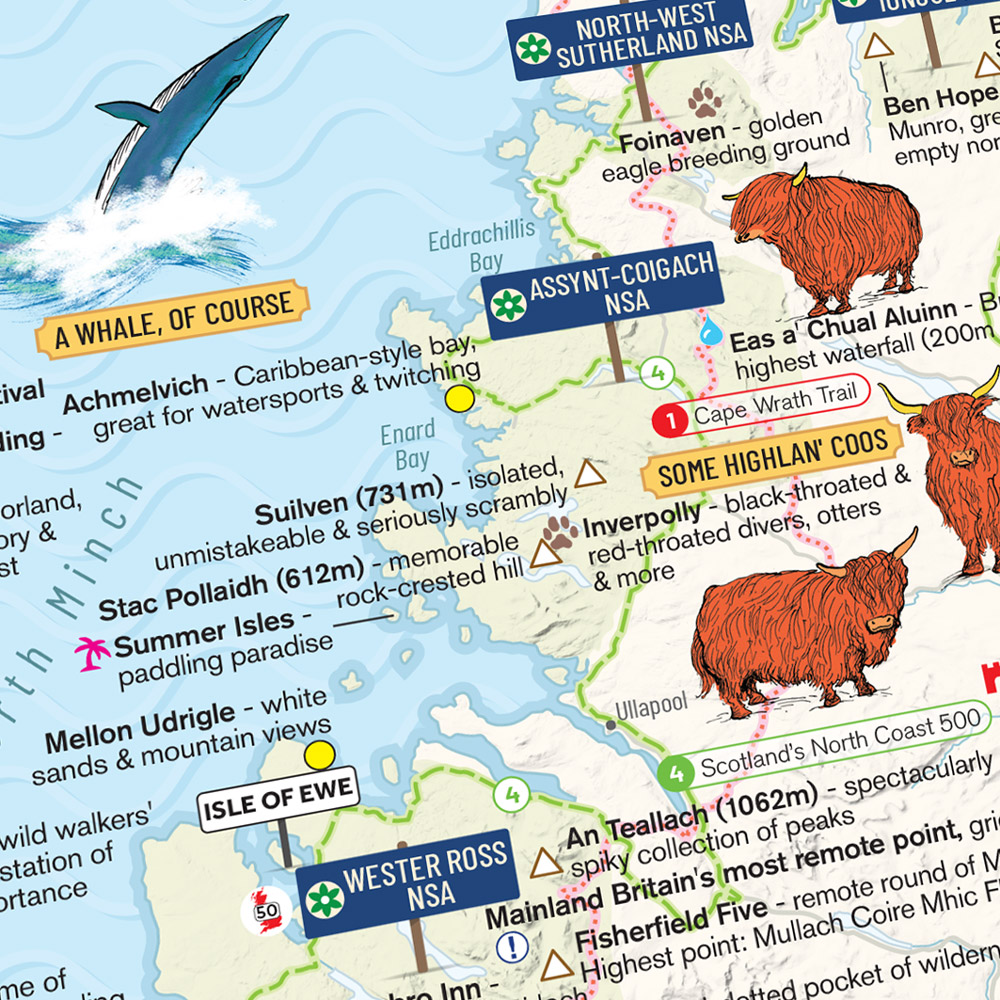 Strumpshaw, Tincleton & Giggleswick’s Solid Gold Great British Bucket List Map
The latest release from Marvellous Maps is a golden opportunity to explore the UK. The Solid Gold Great British Bucket List Map covers the best bits of Britain to add to your personal bucket list. Inside the two-sided map you’ll find wild and beautiful places to explore, from mountains to beaches, with family-friendly options included too. There are plenty of festivals and events to discover, as well as places made famous by films, TV, music and literature. Handily, it contains plenty of random info to keep on hand for your next pub quiz, from the meaning of an Arbroath smokie to the location of Britain’s highest pub (the Tan Hill Inn at 528m above sea level, so now you know).
After a challenge? The map includes long-distance cycling, walking, road and train routes, both famous and not-so-famous. From the Cape Wrath Trail to Offa’s Dyke Path, there are plenty of epic routes where you can see the best our islands have to offer. It’s a map that’s sure to leave you smitten with Britain.
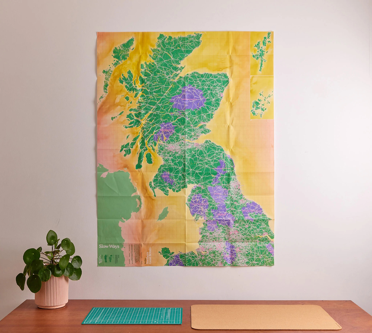
Slow Ways – Walking network (2nd edition)
We were excited to print the 2nd edition of the popular Slow Ways – Walking network map this year. The map plots a national network of walking routes that join up Great Britain’s cities, towns, villages and national parks – quite an achievement! It’s a giant citizen geography project, with the network drawn and co-created by thousands of volunteers, alongside social enterprise Urban Good CIC. It now covers more than 120,000km and over 8,000 routes.
The bold and beautiful map is designed to inspire you to plan and share your journeys. You can use it to find routes between neighbouring places or to combine journeys and walk longer distances. The 2nd edition has a few improvements, including updated routes and extra settlements. Notably, it’s now double-sided, with all Great Britain on one sheet, instead of two sheets with the 1st edition. You can now easily see the whole of Great Britain on one map, and colour in the routes you’ve completed.
 The Bath 5k Map
You probably know Bath’s tourist hotspots, from the Royal Crescent to the Roman Baths. The Bath 5k Map delves further, presenting undiscovered walking routes, to take you off the beaten path. The beautifully illustrated map features 20 routes that are all circular and 5k, covering everything from wild swimming spots to scenic woodland. Pubs and cafes are featured too, for when you need some refreshments. If you subscribe online, you’ll have access to even more walks in and around Bath as well.
The map was dreamed up by local resident Annie Legge, to encourage people to improve their wellbeing by getting into the great outdoors. “It’s all about mental health and wellness, and that is ultimately the heart of this.,” Annie told the BBC. And the best bit? 100% of profits go to charities Off the Record and Mentoring Plus, which support young people’s mental health in Bath and beyond.
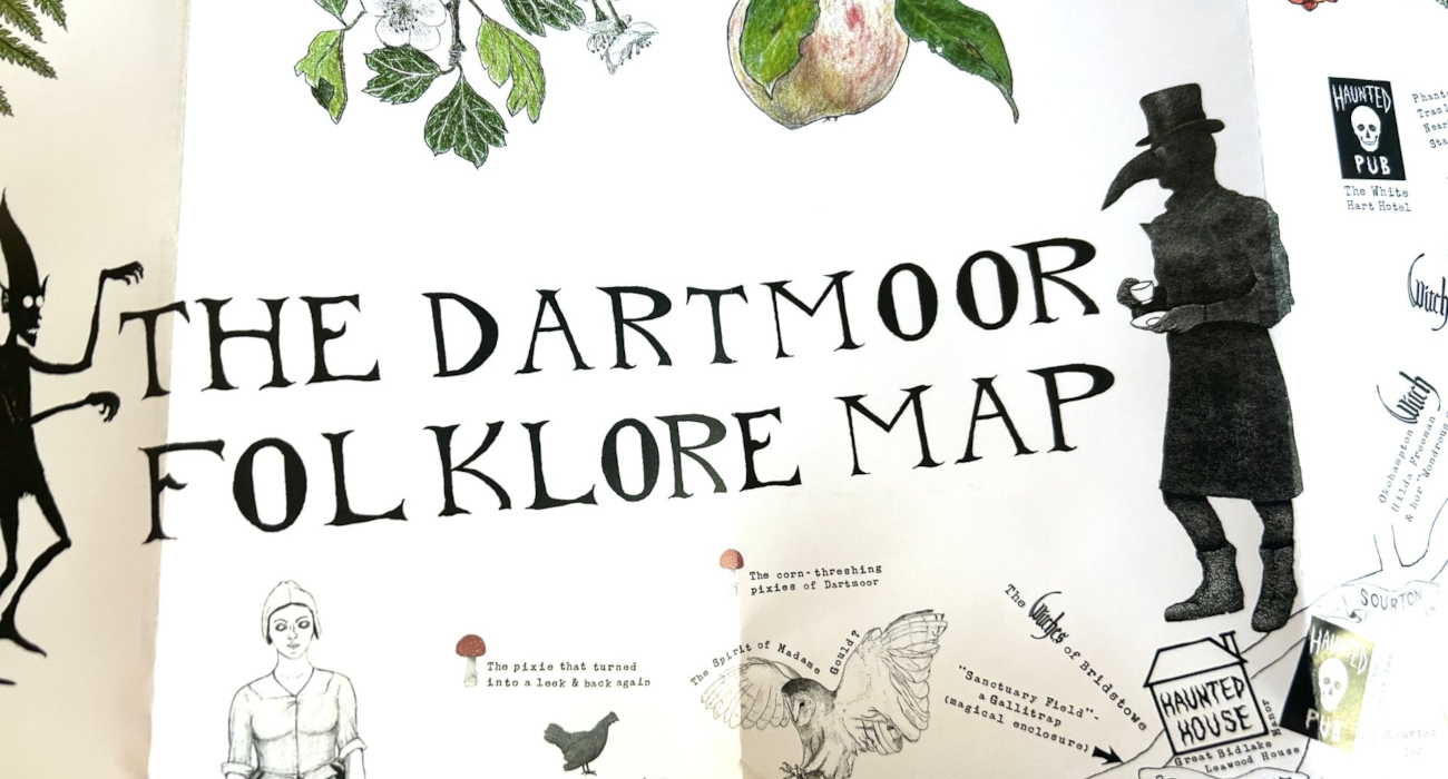 The Dartmoor Folklore Map
Phantom hounds, pixies and witches – The Dartmoor Folklore Map shows the moor as a place full of magic and mystery. The illustrated map, by artist Ethan Pennell, explores the area’s folk tales, transporting you to the mist-shrouded, many-hued Dartmoor. Open it – if you dare.
Over seven years, Ethan spoke to locals, scoured specialist libraries and archives and visited locations in his local Dartmoor to pull together the magical map. “I hope the stories can help people feel more of a connection to the mysteries of Dartmoor and the moor itself,” says Ethan. It really is a map that brings Dartmoor’s magic to life.
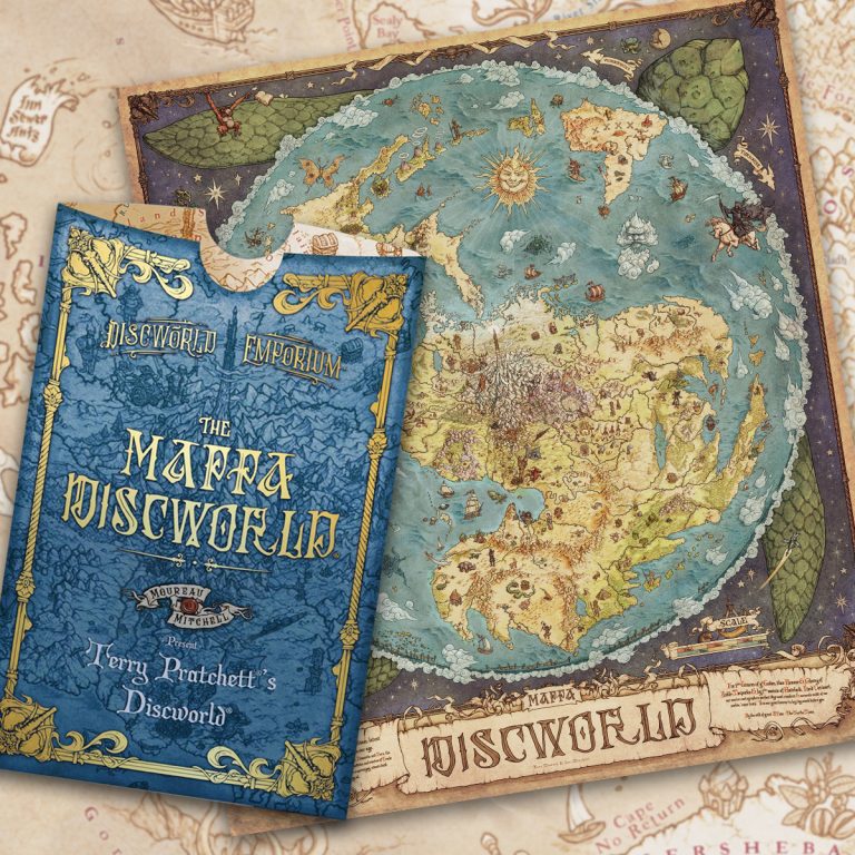 The Mappa Discworld
This metre-high map is a must-have for fans of Terry Pratchett’s Discworld. It captures all the colourful creations and characters from the iconic series of books. The map has already become something of a fan favourite and it’s easy to see why. It goes further than geography, bringing the books’ people, history, legends, commodities and myths to life, with its stunning illustrations.
This is the first time all the Discworld stories have been included on one map. “It offers readers of Terry’s work a chance to explore Discworld in minute detail,” says Ian Mitchell, the map’s creator. With so much to see, fans can spend hours exploring the map, spotting plenty of references from the much-loved series.
Dennis Maps is one of the leading map printers in the world, producing more than two million maps and charts every year. We offer comprehensive pre-press services, large format print solutions using both large format litho printing and large format digital print technologies, plus specialised map folding and map finishing techniques.

Dennis Maps Christmas Quiz
We’re excited to launch our first Christmas Quiz and we’d like to invite you to take part!
The multiple-choice quiz only takes a few minutes to complete, and one lucky entrant will win a £50 Love2shop e-Gift Card.
Good luck!

“I looked after maps and brought them to people across all parts of the world”
Jonathan Potter has had a fascinating career as a seller of antique maps, charts, plans, atlases, globes and reference books. He was the owner of Jonathan Potter Limited, a company that traded in London and Bath for over 50 years. Now retired, he’s still passionate and knowledgeable about antique maps. We catch up with him to find out more about his time in the trade and what he’s learned over the years.
How did you get into the antique maps trade?
My parents were very keen on antiques, and I also got the bug for collecting things. I didn’t know what I was going to collect until I came across antique maps at London’s Portobello Road Market as a teenager. Later, I began working for an antique maps company in London and my interest further developed from there. Eventually, I outgrew working for someone else and I started my own business. I set it up in central London and later moved the business to Bath. I’m very lucky to have been able to pursue something which could be regarded as a hobby, but that I was able to get paid for. I’ve had a very happy working life.
Your shop also sold ‘cartographic curiosities’. Tell us a more about these…
Maps have often been used in the past to decorate all manner of things – mugs, plates, ash trays, decorative china. We sold all sorts of cartographic curiosities. Maps were added to these items for interest and amusement, rather than for practical purposes.
Do you still indulge in your love of maps now you’re retired?
Yes. I’m one of the original members of the International Map Collectors’ Society. I joined when it was founded and remain a member to this day. I enjoy reading their publications and attending their meetings and lectures. It’s worth checking out if you’re interested in old maps. Each year, I also go to the London Map Fair, which attracts map dealers, collectors, librarians and curators from around the world.
Do you have a personal collection of antique maps?
For practical reasons I had to sell the maps I would have most liked to have kept. I saw my job more as a custodian of the maps than as their owner. I looked after maps and brought them to people across all parts of the world.
Why do you think antique maps have such a timeless appeal?
They capture a period when there weren’t any newspapers, nor the general literacy level there is now. There was nothing like the current media coverage of local or world events. Antique maps are one of the few records still available that illustrate what the world was like. For example, think of an early 17th century map, perhaps decorated with images of local animals and landmarks. For a lot of people, these would have been the first images they’d ever seen of different parts of the world. It would have been revolutionary to them.
What are the benefits of purchasing antique maps?
Very simply, enjoyment! You can also spend any amount of money to suit your budget.
What factors influence the price of an antique map?
Prices depend on the rarity of the map, its condition, decorative elements and the area it shows. If you’re lucky enough to live in one of the Welsh counties with a small population, you could buy a map for a fraction of the price of a map of a densely populated area with great spending power, such as the home counties. Prices vary according to demand, among other reasons.
Do you have a favourite map maker?
I find myself drawn to maps from the early 17th century, particularly Dutch publications. They’re elegantly engraved and were created at a time of world discovery. Equally, I can look at an early Ordnance Survey map of where I live and see all sorts of fascination in that.
What are the most bizarre maps you’ve ever come across?
Many antique maps that are sought after are pretty bizarre, I’d say! The practice of caricaturing became very popular in the 18th century, and this led to maps that had countries in animal and human shapes. Map makers would show the Russian Empire as an octopus, with its tentacles spreading throughout Europe. Other maps were anti-French or anti-English in the caricatures they created. Earlier maps might feature strange creatures, that were based on actual animals but turned into something monstrous. There’s a famous map of Iceland surrounded by sea creatures, drawn in a way to scare and impress.
What’s the most interesting antique map you’ve ever come across?
It’s very difficult to say. I suppose the most interesting from a historical point of view, would be the very early maps of North America. They may not look interesting to someone who doesn’t have an understanding of maps, but they’ve got historical significance.
Where would you recommend people go in the UK to view antique maps?
There aren’t that many permanent displays but the British Library in St Pancras, London has some maps and, from time to time, some very fine exhibitions. Another place I always enjoy going to is the American Museum & Gardens in Bath. The owner was a map collector, and it has a very good collection of maps. At Hereford Cathedral you can also see the Hereford Mappa Mundi, one of the world’s cartographic treasures. I’d also look at the International Map Collectors’ Society. It has a diary of what’s happening around the UK and further afield.
Further advice and information about antique maps can be found at Jonathan Potter Limited.
Looking to build an antique maps collection? Here are Jonathan’s top tips for preserving your maps:
- Handle your maps carefully.
- Go to a reputable framer to get your maps framed.
- Choose a frame with glass that offers UV protection, to ensure maps’ colours don’t fade.
- Avoid hanging maps on walls that are prone to damp.
- Ensure antique maps aren’t kept in excessively hot and dry environments, such as above a fireplace or radiator.
Header photo by Ylanite Koppens
You might also enjoy our post on Wall Maps.
Dennis Maps is one of the leading map printers in the world, producing more than two million maps and charts every year. We offer comprehensive pre-press services, large format print solutions using both large format litho printing and large format digital print technologies, plus specialised map folding and map finishing techniques.
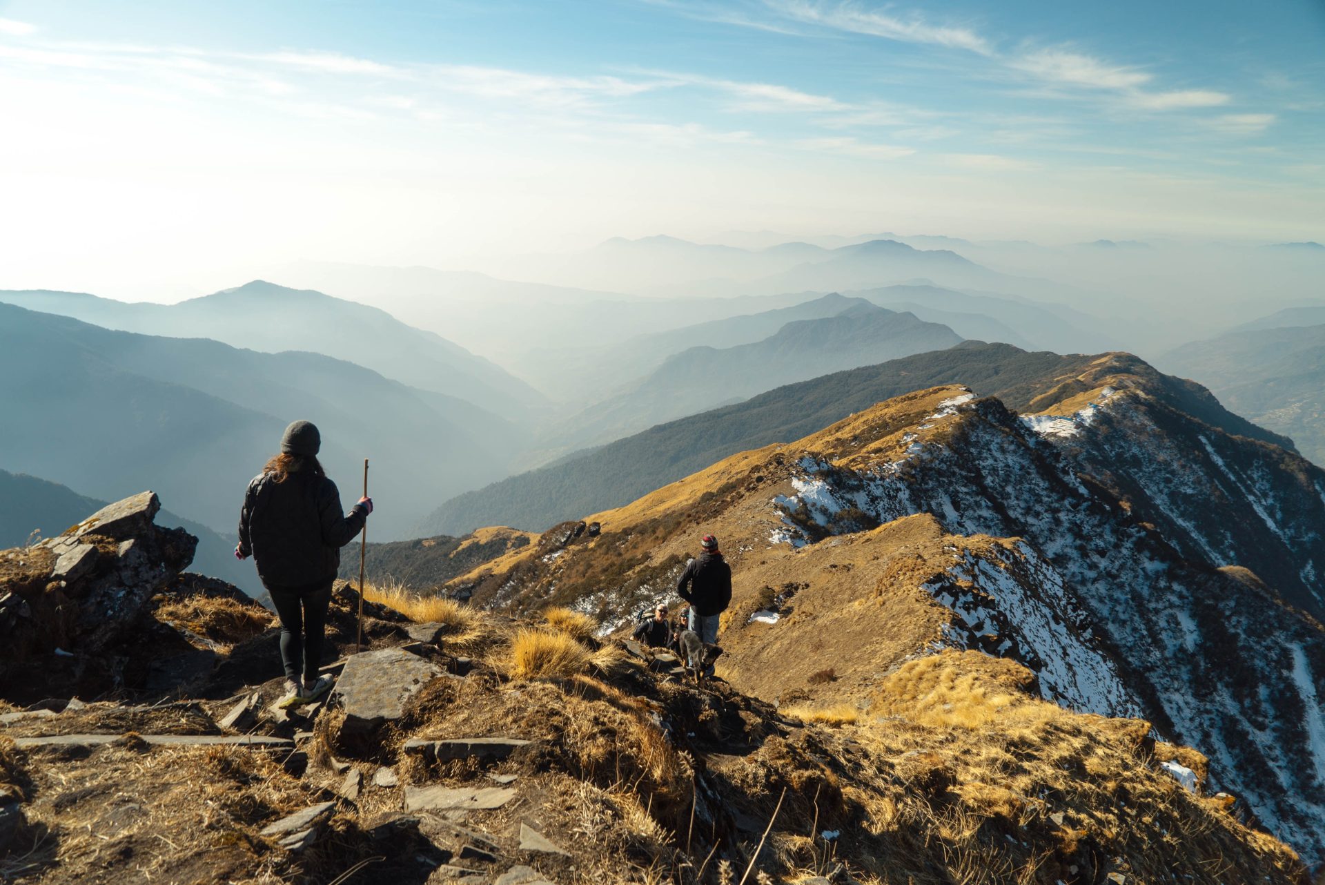
How to stay safe on hill and mountain walks this winter
Winter is on its way, but you can still enjoy exploring Britain’s hills and mountains, with some safety precautions in place. Mike Margeson OBE, Operations Director at Mountain Rescue England and Wales, shares his advice on how to stay safe when walking in hills and mountains this season.
Make a plan
Always have a plan A for your walk and a plan B as well. If the weather is poor or deteriorating, go with plan B. Quite often people get into trouble in the hills and mountains because they carry on with their walk. Don’t be afraid to change your plan and to change it early enough to make a difference too.

Know how to navigate
I personally carry a map and also have mapping on my phone. But whether you have a digital map, a paper map or both, the most important thing is that you know how to use them. Make sure you can orientate or set your map, understand the contour detail in relation to the height, have an awareness of the difficulty of your planned journey and how long it will take. Appreciate what the terrain looks like on the ground compared to on your map. And be sure to pack a compass that you know how to use as well.
Watch the weather
Winter walks can be significantly more challenging in terms of weather. Be mindful of wind chill. The weather forecast might say it’s x degrees, but a fast-blowing wind could make the temperature feel a lot colder. It’s worth thinking about which direction the wind will be blowing, so you can plan to have it behind you for as much of your journey as possible, especially when you’re most exposed to it. It’s also worth noting that hills and mountains can be icy and slippery, even if you can’t spot any snow from the valley. Use a weather forecast service that focuses on a mountain forecast rather than a general one. I’d recommend checking the Mountain Weather Information Service, Ventusky and the Met Office’s mountain weather forecast.
Layers and spares
It’s important to wear (and carry) several layers, so you don’t get too cold or even too hot. This is much better than having one thick layer. I’d recommend an outer layer that’s waterproof and has a hood. A synthetic insulated jacket is better than down because it will keep you warmer and perform better if it gets wet. Make sure you’ve got gloves and a hat (and spares) too. I use a lined hat for extra warmth. Ensure that your head, hands and feet stay warm, and you’ll feel warmer overall.
Tread carefully
Keeping your feet warm and dry is important, so I’d advise wearing waterproof walking boots. Check they have a thick tread and Vibram or Vibram-type soles, regardless of the season. A lot of lightweight shoes made for drier countries don’t have a good tread. Will your walking boots perform well on wet rocks or grass? How about on ice or snow? Your boots will need to offer good ankle support too.
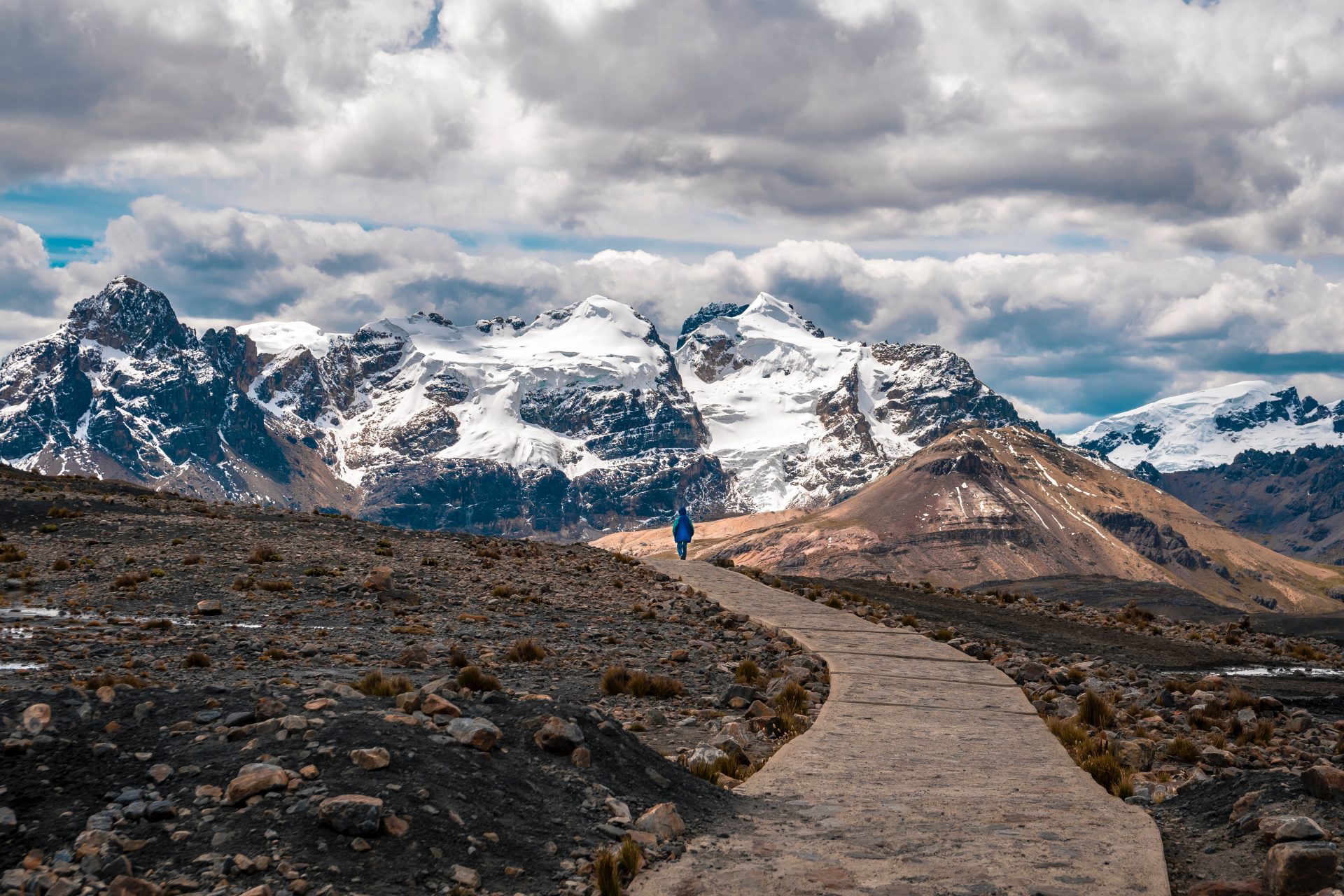
Stay focused
Mountain Rescue statistics show that a lot of accidents happen in the afternoon, between 3pm and 6pm. They often involve lower leg injuries, where people have gone over on an ankle, slipping downhill, when they might be tired or hurrying to get down. Walkers have finished most of their route and may relax and switch off – or just be getting tired. Make sure you stay focused, whatever part of the journey you’re on.
Be prepared for the dark
Unless you’ve got a lot of experience in the hills and mountains, plan enough time to get down before dark. Of course, anyone can find themselves behind schedule and having to travel in the dark. The clocks going back can also catch people out for a few weeks. If this happens, it’s critical you’ve got good lighting to manage the scenario. You don’t want to end up making your way along with nothing but the light on your mobile, which will use up the power as well. I always carry two headtorches, one as a back-up. That way you won’t end up fiddling around in the dark trying to change batteries with cold hands. It’s much easier to have a spare.
Carry the right kit
Make sure you carry the right kit to keep you safe when embarking on a walk in the hills or mountains. As well as head torches, pack an orange survival bag. You can get into it to keep warm if needed. Each member of your walking group should have their own. Take a group shelter too. These items will be invaluable if anyone has an accident, and you need to stay warm while waiting for help. I’d also recommend walking poles. They’re good for when it’s slippery, if you need to cross a stream and when you’re tired. I’d pack winter traction devices for boots, such as Yaktrax or Black Diamond access spikes, as a precaution. As a rescue team, we carry several pairs of these to keep people stable when carrying them off hills and mountains. Carry spare warm clothes too. And you should also have a basic first aid kit and first aid knowledge.
Stay fed and hydrated
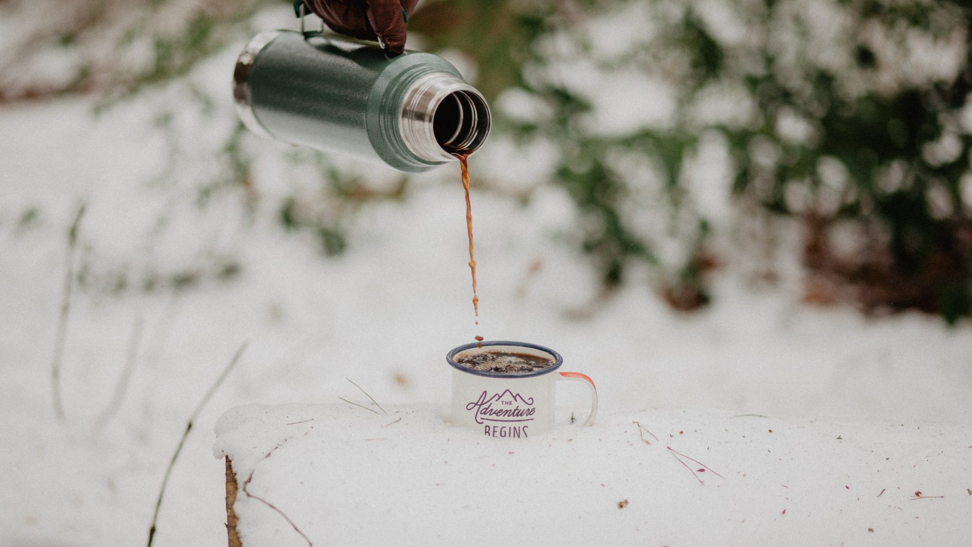
You’ll be carrying more kit in winter than in other seasons and you’ll expend more energy doing so. It’s important to stay hydrated to keep energy levels up and to stay warm. Even if you’re only 10% dehydrated it’ll impact on your ability to keep warm. You need to be drinking regularly and eating little and often too. It’s not a case of taking a big packed lunch with you and stopping once for food. Eat little and often, around every half an hour. Go for high energy foods to keep your energy levels up.
Be aware of how to get help
Know how to get help if you need it. If you require help from Mountain Rescue, contact 999 and ask for the police, who will contact our service. You might not have enough phone signal to get through or it might be too windy to hear the operator. That’s why it’s worth registering your phone with the emergencySMS service beforehand. This service allows you to send an emergency text and reply via text too – ideal for low signal spots.
Keep your phone(s) charged
Your phone battery will likely get sapped during the day, if you’re using it for photographs, navigation, etc. Even drops in temperature when you’re at higher altitudes can use up battery power. It’s crucial you’ve got enough battery power as your phone will be an important tool if something goes wrong. Carry a battery pack for your mobile. Consider taking a separate phone that’s just for outdoor emergencies. Keep it switched off, so it’s fully charged. It’s all about being able to use your phone for what only your phone can do – call for help.
Maximise your phone signal
All 999 calls go through to the strongest network signal they can pick up, even if you’re not on that network. Be aware that your phone signal might be poor despite this. If you haven’t got enough signal for a call, there might be enough for a text, because they use less signal. You might think to walk down hill to get a better signal but assess your location. A quick walk uphill might give you a better signal.
Be resource-ful
There are lots of resources online to help you stay safe in the hills and mountains. The Mountain Rescue England and Wales blog has many useful posts about safety. The Met Office has blogs on mountain safety too, as do Ordnance Survey (Get Outside) and the British Mountaineering Council. I’d also recommend looking at Adventure Smart. The website features three questions to ask yourself to check you’re prepared for any outdoor adventure.
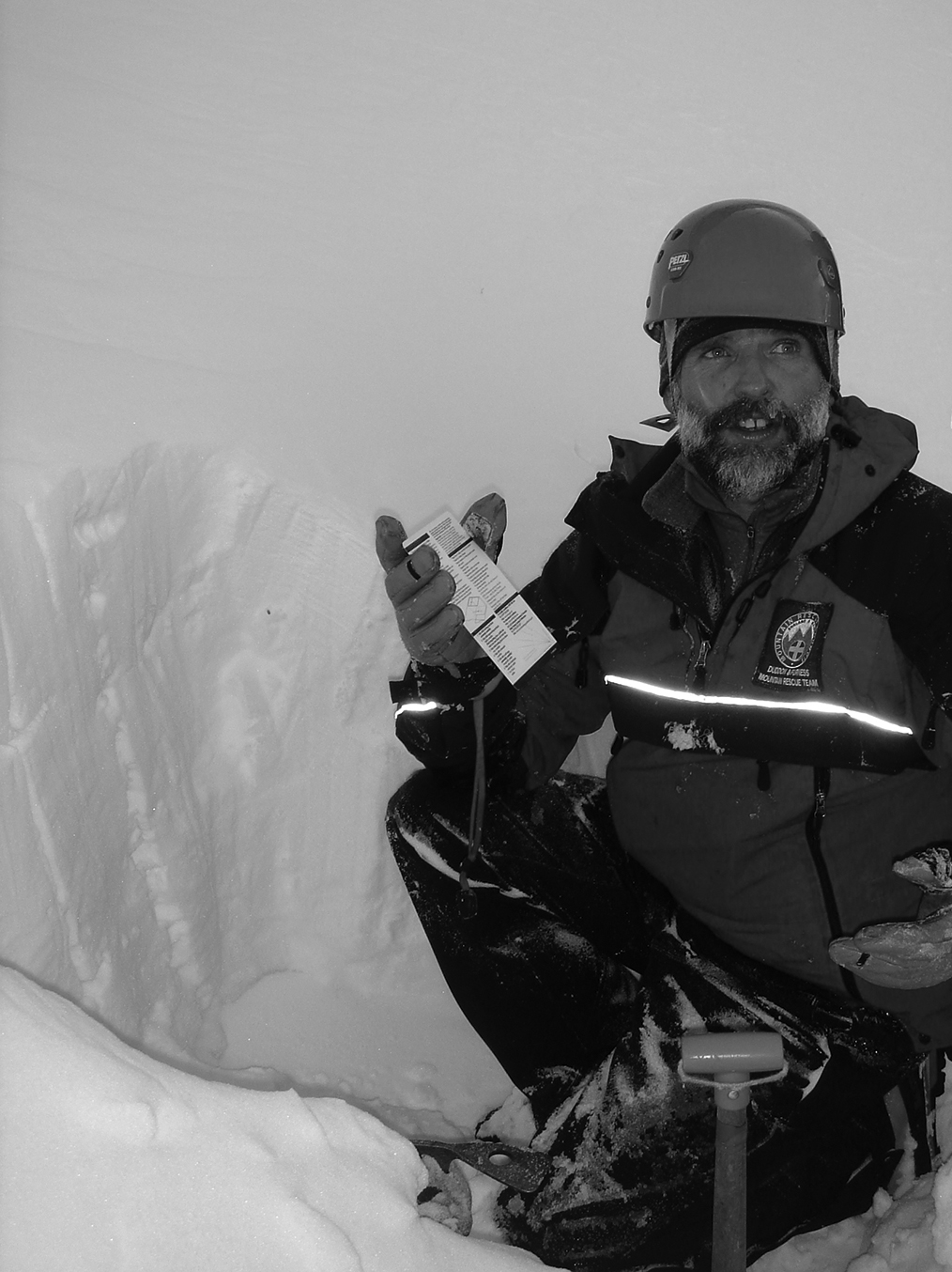
Mike Margeson
Mike Margeson OBE is Operations Director at Mountain Rescue England and Wales, as well as a Winter and Summer Mountaineering and Climbing Instructor, International Mountain Leader and Program Operations and Safety Manager at YMCA Lakeside, a large outdoor education centre in the Lake District. In his free time, he loves all aspects of adventure activities, including climbing and mountaineering all around the UK and abroad.
Dennis Maps is one of the leading map printers in the world, producing more than two million maps and charts every year. We offer comprehensive pre-press services, large format print solutions using both large format litho printing and large format digital print technologies, plus specialised map folding and map finishing techniques.
The Francis Frith Collection – bringing bygone Britain to life
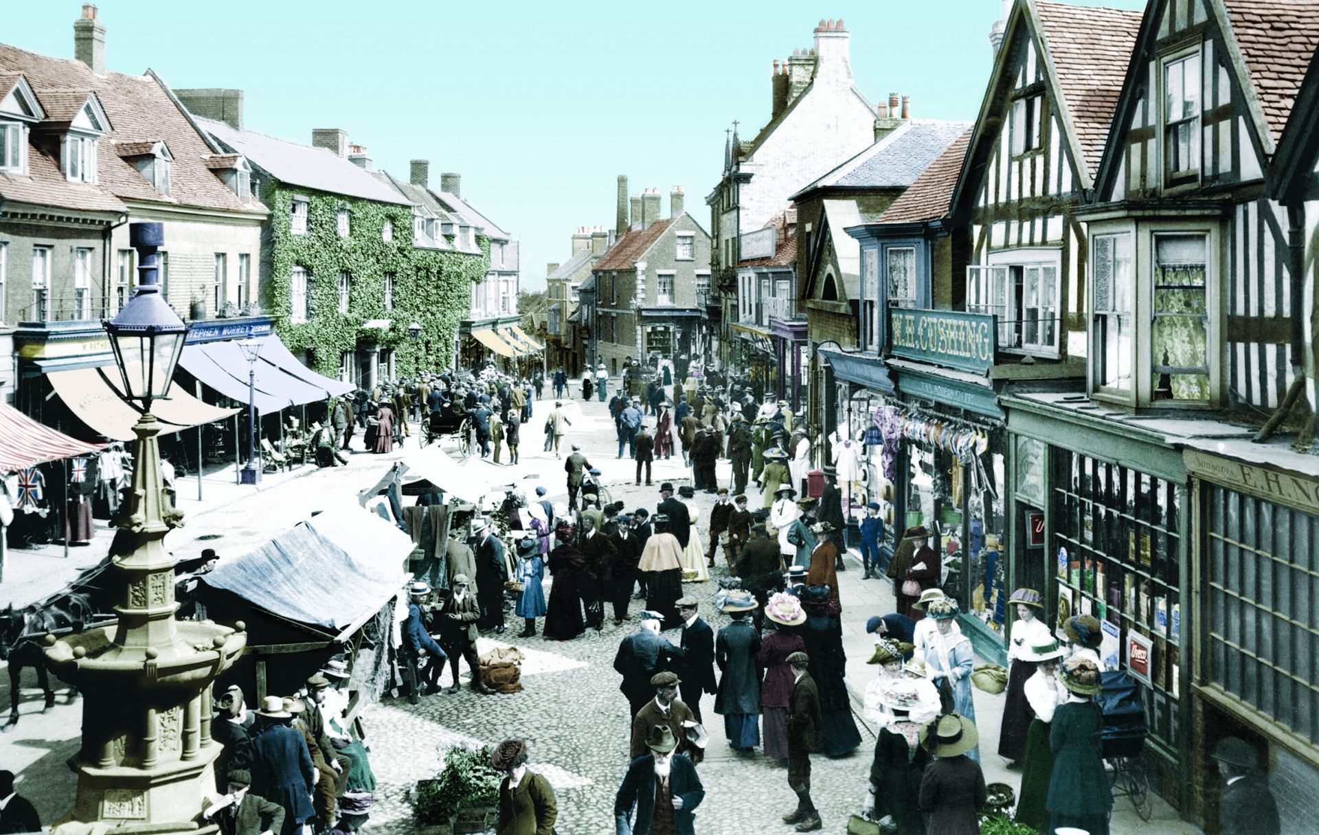
They say a picture is worth a thousand words and that’s certainly the case with The Francis Frith Collection. This “photographic time machine” includes hundreds of thousands of pictures of Britain from the 1860s until 1970, providing unique snapshots of our islands’ history. In addition to photos, The Collection features a vast range of products, including historical maps, history books, and even custom-printed wallpaper from old photos and maps. We catch up with John Buck, Managing Director of The Francis Frith Collection, to find out more about the unique enterprise.
Firstly, tell us more about Francis Frith…
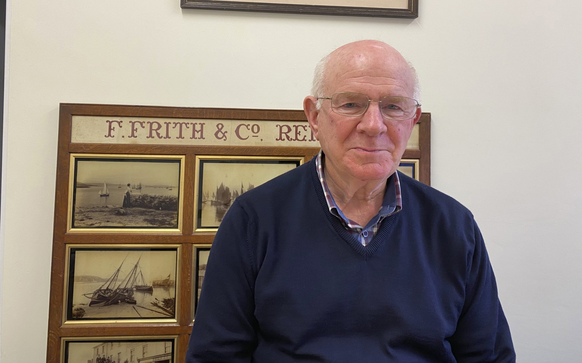
Francis Frith was a well-known photographer and publisher of photos. His business, F Frith & Co, was the first specialist publisher of photographs in the world. He founded his company in the 1860s, at a time when British seaside resorts were being developed for greater numbers of tourists, as people travelled more due to the expansion of railways. Holidaymakers would want photo souvenirs of their trips, but most didn’t have their own cameras, so that was his market. After 1900, his business started to produce postcards as well as photos, and became renowned as a postcard publisher. Over the years, Francis and his team created a nationally important record of Britain, which documents a period of enormous physical and social change.
What makes the Francis Frith photo archive so unique?
It’s the only record of its kind. Francis Frith photographed around 9,000 cities, towns and villages during the period, taking over 300,000 photos. He visited places multiple times, so you can see the development of those areas. His photos provide a record of the locations that are important to the people of Britain. They’re the areas they grew up in or know, whether they still live there or are nostalgic about the places they left behind.
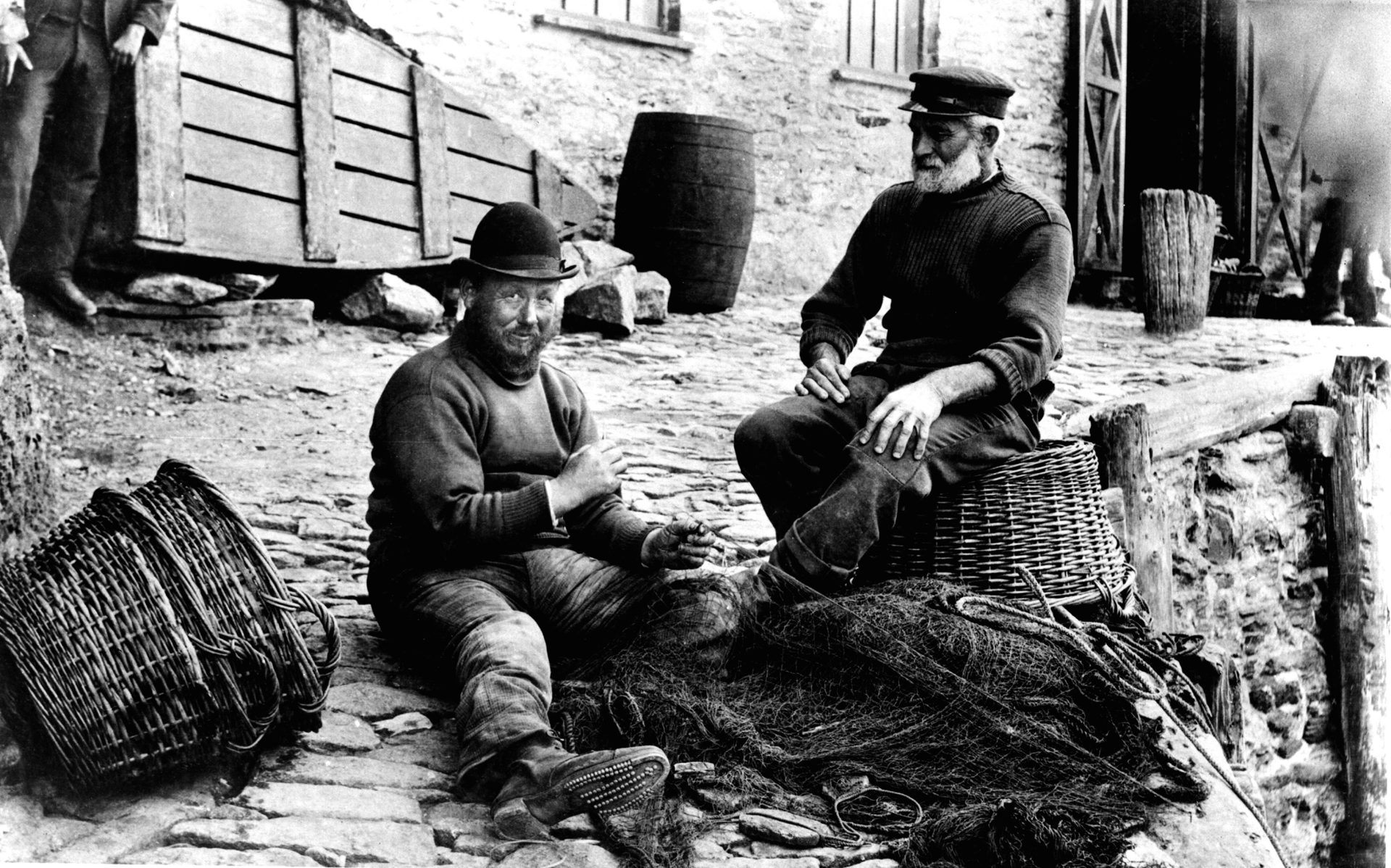
Can you tell us more about the history of The Francis Frith Collection?
The Frith family owned the company until the 1940s, then it was taken over as another family business until 1970, when the company closed. The business traded from a property that was due to be bulldozed and redeveloped. Rothmans, the cigarette company, were made aware of this and bought the photo archive to stop it being destroyed. Five years later I was working as a Rothmans Executive and came across the photos by chance, in a Manchester warehouse where they were being stored. I had a look around and pulled out some of the pictures. It dawned on me that if you knew the places in the pictures, they’d be utterly fascinating. I put a proposal to the Managing Director at Rothmans to allow me to set up a new company for the archive. To my amazement they accepted, and I ran the company for 18 months before buying the business and archive. By then I was looking to start my own company, so that desire and the Frith opportunity happily collided.
Do you have any favourite photos from the archive?
The pictures of where I grew up in Wokingham, Berkshire. There’s one photo of schoolboys resting against their bikes in the middle of town, having a chat. It brings back memories. I also like photos of a steam ferry on Windermere and images of trawlers and fishing in Cornish ports. I have one of Nottingham at home that’s a fascinating scene with a tram, horses and carts and boys wheeling trolleys with luggage. It’s just a great glimpse into life at the time. There are lots of lovely photos. I’d have a few extra Frith photos on the wall at home, but I’m not allowed to have any more!
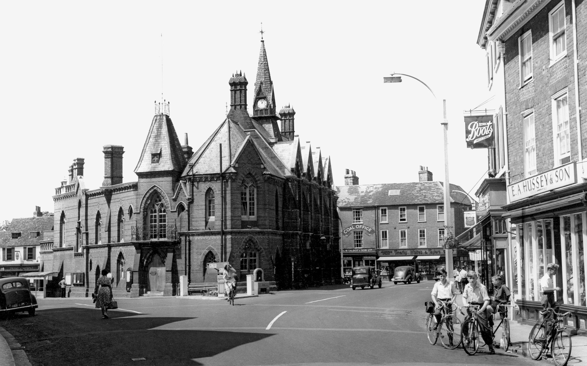
Has preserving the archive thrown up any challenges?
Yes – it’s been an interesting ride! The photos must be kept in the right conditions – dry, with no or low humidity and protected from the sun. Light makes old photos deteriorate and fade. They take up a fair amount of space too. Scanning didn’t exist when I bought the photographs. We started digitising the archive in 1999 and now it’s all digitised. People can go on our website and see all 300,000 photos. Technology has improved so much that we’re now going back to rescanning early pictures to a much higher resolution.
Can you tell us more about the other products you offer as part of The Francis Frith Collection?
Every photo is available in a variety of framed sizes and formats. As part of The Collection, we also sell maps, which are licensed to us. We print and frame flat maps ourselves, but our folded maps are printed by Dennis Maps. The maps more or less have national coverage. Then there are jigsaws, wallpapers, calendars, mugs, tableware, tea towels and cushion covers, all of which can have historical photos or maps printed on them. We’ve published over 1,000 books too, commissioning local authors and local history experts to write them.
What’s your experience been like with Dennis Maps?
We’ve worked with them for decades. They’re a great organisation and very reliable.
Who are your customers and why do you think they’re drawn to your products?
Large numbers of photos are bought by customers because they have an association with the place depicted or they stimulate personal memories. Our photos are also popular with interior designers for use in hotels, restaurants and care homes. They’re used as décor in care homes, as they help people with dementia and often prompt them to talk about their own memories, or the changes they see in the photos.
Do you have any new projects in the pipeline?
We’re planning to colourise the whole Francis Frith archive and to publish a lot more books!
All images copyright The Francis Frith Collection.
Dennis Maps is one of the leading map printers in the world, producing more than two million maps and charts every year. We offer comprehensive pre-press services, large format print solutions using both large format litho printing and large format digital print technologies, plus specialised map folding and map finishing techniques.
Go-to gear for walking and hiking
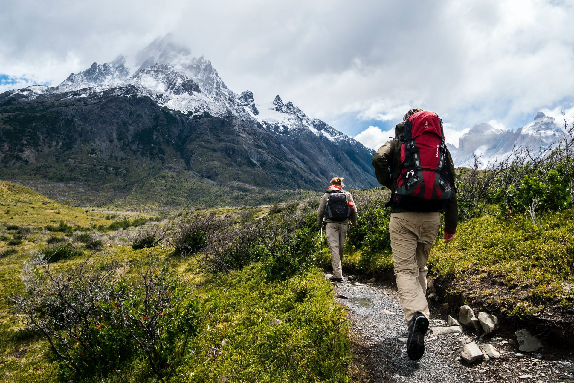
If you’re new to walking or hiking, you’re probably wondering what gear to buy. With so many options out there, it can be hard to decide what to go for. We speak to some leading outdoor experts to find out the items they couldn’t do without.
 Kerri Andrews, Editor of ‘Way Makers: An Anthology of Women's Writing about Walking’ and Author of ‘Wanderers: A History of Women Walking’
I can't do without my Montane Grand Tour 55 Rucksack. I've had it ten years and it's been a literal lifesaver. On the first walk I did with it I tripped over my own feet on the South West Coast Path. I ended up doing a somersault off the path and over the cliff. Luckily (sort of) I landed in a huge patch of gorse and bramble which stopped my fall, but I wrenched my knee and was upside down with my head pointing to the sea. My walking companion managed to lift me to safety by the chest strap of my backpack, proving it's a strong bag! And it has plenty of room for everything I might need, whether on a walk in the local hills near Peebles or a big Munro day in the Highlands. That backpack has gone pretty much everywhere with me.

Helena Sansum, a Member of North of Tyne Mountain Rescue Team, part of Mountain Rescue England and Wales
I don’t go anywhere without a storm shelter – it’s proved invaluable on several occasions. During a Scottish winter it protected an unwell friend on the hills. Another time it provided shelter when the team was working in a nighttime blizzard with thigh-deep snow. A shelter is such a simple thing and much appreciated by Mountain Rescue casualties too – they often complain more about the cold than the pain of a broken ankle! The shelter in my sack is a Summit Bothy Supalite from Summit Gear. It’s light and compact to carry.
 Dalton Moore, Senior Instructor at Scout Adventures Lochgoilhead
A good layering system is essential for walking and hiking. The Arc'teryx Psiphon Jacket is a key part of my kit due to its incredible versatility. Breathable and windproof, either on its own
in summer or underneath a GORE-TEX in winter, it’s always on. I’ve used mine for the past seven years, so unfortunately that model is no longer available, but the current equivalent is the Arc'teryx Gamma Hybrid Hoody. I’d recommend keeping an eye on discount websites (like Sport Pursuit) as good deals on items like this crop up from time to time.
 Sam Knight, Young Adult Development Project Officer, Ramblers Scotland, and Leader of the organisation’s Out There Award
It’s not the most glamorous bit of walking kit, but I never leave behind my tick remover card. In fact, I now feel like my rucksack is missing something without it! With ticks sadly on the rise in Britain, it’s so important to be aware of them and how to reduce the risks. It’s essential to carry a tool to efficiently remove them if they latch on to you, your friends or pets. I always do a tick check after walks and often during days out too. Different tools are available, including cards and tweezers, usually costing less than £5.
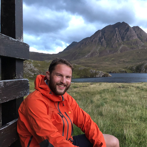 Cameron Bowskill, Cartographer at HARVEY Maps
On all but the warmest of summer days, I take two sets of gloves: thin liners and a heavy-duty pair. Liner gloves are great for fending off a cool breeze, while maintaining dexterity and not overheating. Then, when the heavens open or the snow sets in, I put my Rab Pivot Gloves on over the liners. They’ve kept my hands toasty warm on many occasions, even on snowy days in the Cairngorms.
 Fi Derby, Ordnance Survey Champion and Outdoor Writer
When I head outdoors for an adventure, I take a paper map of the area I’m exploring. I also find the area on the OS Maps app and download it to my phone. Ordnance Survey’s 1:25,000 scale Explorer maps give exactly the right amount of detail to keep my explorer instincts happy. If I see something interesting on the ground, I check it out on the map to find out what it is. If I spot something interesting on the map, I make a point of including it in my route. I’m keen on adventures by train, which makes having detailed information about public rights of way super useful, as I’m often finding new routes.
 Hannah Engelkamp, Culture, Imagination, and Stories Lead, Slow Ways
Loads and loads of food! I kind of pride myself on being flexible about my kit otherwise. I’ve always used paper maps, but I’ve recently become OK with navigating by app. None of my waterproof coats are very waterproof anymore, and on my last walk I took a bin bag in case I needed it as an extra cape. I’ve had some great walks in poor footwear. I feel like joy and serendipity often come from being forced to be resourceful. But food is always in there, and lots of it. Everything tastes better in fresh air and with a view.
Dennis Maps is one of the leading map printers in the world, producing more than two million maps and charts every year. We offer comprehensive pre-press services, large format print solutions using both large format litho printing and large format digital print technologies, plus specialised map folding and map finishing techniques.

Folded maps – which type should you choose?
Look closely at folded maps on a shelf and you’ll notice some have covers and some don’t. Ever wondered why? Here we share the key features of the folded maps we offer, to help you choose the right one for you.
Folded maps with separate covers attached
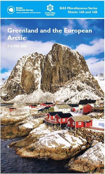 Did you know that folded maps with separate covers have been in production for quite some time? We have an Ordnance Survey (OS) map in our Frome factory that was printed way back in 1929. Folded maps with separate covers are popular in Britain and in some areas of Europe, such as Italy and Germany. However, in other areas of the world they’re not produced at all. OS uses this classic style of British map production for all its paper map series, including the iconic Landranger and Explorer maps. If you choose a folded map with a separate cover, you’ll know you’re in good company!
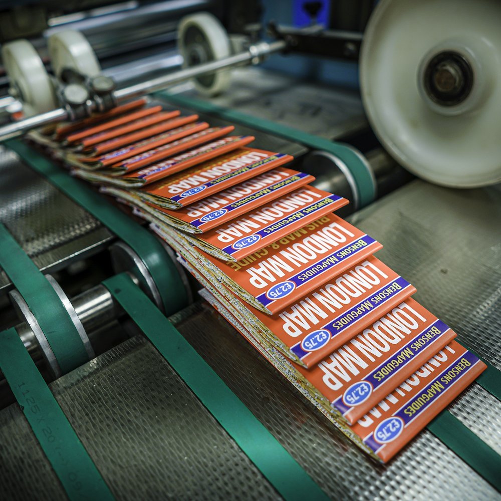
We print the inner part of the folded map on carbon balanced, FSC-certified paper instead of synthetic material. This is because the separate cover protects it during general use and offers some weather resistance too. We print the covers on robust card and usually laminate them, for extra durability and an enhanced finish. Lamination creates a nice glossy cover too. After this, we crease and die cut the cover to size, before joining it with the folded map. Our factory has an innovative CMC map casing machine to carry out this specialised service. You can see it in action here.
Folded maps with integral covers (with the fold design incorporating cover text and images)
 This is another popular style of map production that may suit your needs. It’s a cost-effective choice and involves the map cover being incorporated within the map sheet’s design. With this option, we use one large sheet of paper to create the whole of your map. It’s a fantastic choice that allows you to choose from a wide range of sizes. We can create maps that easily fit into pockets or bags, making them ideal for outdoor pursuits.
Dennis Maps can print maps with integral covers onto weather-resistant Polyart, a high-density polyethylene (HDPE) film. It’s tear-proof, very water-resistant and resistant to many chemicals and oils too. Polyart is much more durable than regular paper. However, we can also print maps with integral covers onto regular FSC-certified paper if you’d prefer. This is an even more cost-effective choice that works well if maps are being used indoors or in good weather conditions outside.
Here to help you decide
We offer a variety of sizes and folding configurations for all our folded maps. Still undecided about which type of folded map to pick? Please get in touch and we’ll be happy to offer our expert advice.
Dennis Maps is one of the leading map printers in the world, producing more than two million maps and charts every year. We offer comprehensive pre-press services, large format print solutions using both large format litho printing and large format digital print technologies, plus specialised map folding and map finishing techniques.
Wild swimming: A beginner’s guide
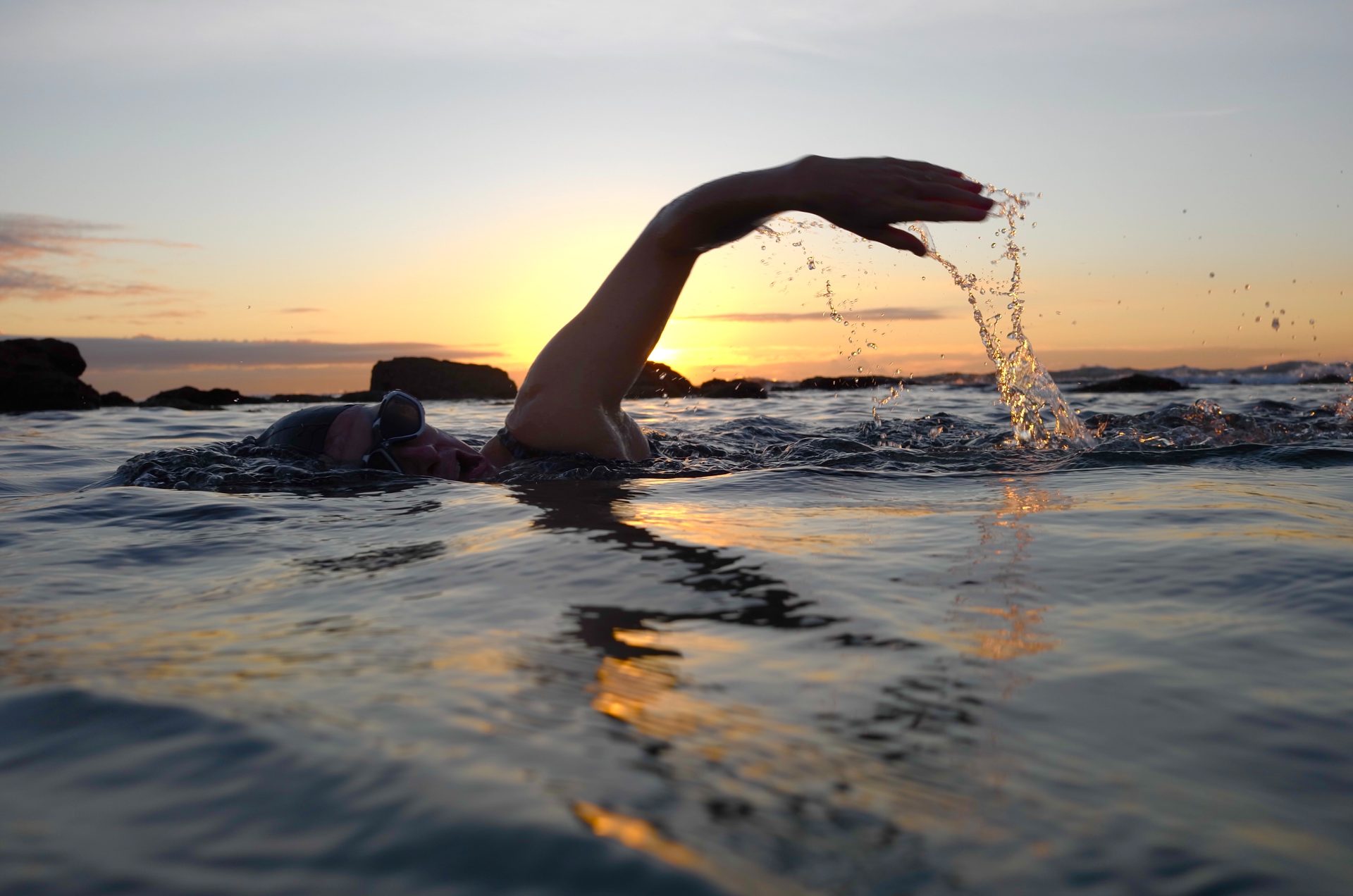
Wild swimming has seen a rise in popularity in recent years, with more people recognising all the benefits it can bring. A recent survey from the Outdoor Swimming Society revealed 94% of respondents swim outdoors for “joy”, 68% for physical activity and 62% to increase resilience. That certainly sounds good to us! But where should you start if you’re new to outdoor swimming? Tara Kelsall, an S.T.A. certified Open Water Swim Coach, shares her beginner’s guide to wild swimming.
Take it slowly
You might be tempted to plunge into cold water quickly but get in slowly, even if it feels challenging! Your breathing, heart rate and blood pressure can all change when you get in the water. Going in slowly is much safer and gives your body chance to acclimatise. Never jump in water in case there are obstructions under the surface either. You might want to start off somewhere where you can stand, for a gentler experience. You don’t have to swim if you’re not ready to. Even immersing yourself in the water has benefits.
Swim with someone else
Go swimming with someone else if you’re a beginner. Choose a designated person to look after you and your safety. They could be a swimming coach or even a good friend who’s an experienced wild swimmer. There are some amazing swimming social groups but swimmers from groups might not be aware you’re new to wild swimming.
Get the right gear
It’s easy to get overexcited buying kit but there are only some items I’d recommend, and they don’t have to be expensive. A pair of water shoes or boots will keep your feet warm and protected in case there are sharp sticks or rocks on the riverbed. If you’re nervous about not knowing what’s on the bottom, these are a game changer. Neoprene gloves keep you warm and can transform your wild swimming experience. I also have a little blanket with a waterproof base to stand on when I’m getting changed. Finally, always carry some sort of swim kit with you. I keep my kit in the back of my car, so I can go swimming whenever I like.
Know how you’re getting in… and out
My experience is with river swimming, and I’d advise not getting in the river until you know how you’ll get out. It’s a lot easier to get in than to get out. In some places there may be steps and ladders but in a wilder location you should look for entry and exit points. Look for spots where it’s shallower or there are obvious physical features, such as rocks, to help you get out.
Watch the weather
Generally, you can swim in any weather, but I wouldn’t advise swimming if there’s lightning. Don’t swim after heavy rain either as it can allow sewage, agricultural runoff, and debris to enter rivers. Give it 24 hours to pass through before you swim. Be mindful that rivers can be very reactive to rainfall, even if the rain fall is further upstream. The flow can increase massively. An old school but useful trick is throwing a stick in the river before you get in, if you’re not sure. Watch how quickly it moves downstream – is it lazily bobbing along or going speedily? Trust your instincts and don’t swim if it doesn’t feel safe.
Be resourceful
There are lots of resources out there to help you get started with wild swimming. The best website I’ve found is The Outdoor Swimming Society. It’s got all kinds of blog posts on outdoor swimming. There are lots of lovely books on wild swimming too, not necessarily guides but books to inspire you. Waterlog by Roger Deakin is a classic. On a practical level, Surfers Against Sewage has a free app, the Safer Seas & Rivers Service, that monitors water quality at coastal and river locations. RiverApp is also great for monitoring river conditions.
Don’t leave litter
Litter can be an issue in the outdoor swimming world. Most people are great and take litter home with them, but not everyone does. Make sure you follow the Countryside Code and don’t leave litter. Landowners could start closing swimming spots on private land if litter becomes an issue, so it’s an important point. You could even pick up litter if you find any. I always carry a compost caddy bag for this.
Map it out
A big part of the enjoyment of wild swimming is getting your map out and hunting for swimming spots. Look out for rivers and lakes that might be accessible and that have footpaths nearby. Some swimming spots are obvious, but a lot of wild swimmers like the adventure of going out and exploring. It’s definitely a good idea to swim in a recognised swimming spots when you’re a beginner but you can visit wilder spots when you’ve got a bit of experience.
Celebrate your swim
Don’t forget to feel proud of yourself! Take a minute after your swim to think about your achievement.
 Tara Kelsall
Tara Kelsall, aka the Wild Swimming Woman offers wild swimming experiences and wild swimming walks in south-west England. She’s been wild swimming for many years and is an S.T.A. certified Open Water Swim Coach. Her favourite spot for wild swimming is Farleigh Hungerford, one of England’s oldest river swimming clubs.